West African Monsoon
The extreme temperature and moisture differences between the hot, dry Sahara desert and the cool, wet coast of the Gulf of Guinea in west-central Africa give rise to the African Easterly Jet (AEJ), a belt of easterly mid-level winds. The migration of the AEJ from south in the “dry” winter and spring months to north in the “wet” summer and fall months constitutes the West African Monsoon.
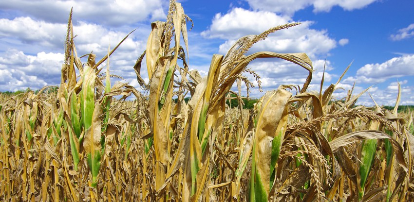
At the surface, the monsoon is basically a shoving match between the Harmattan, a scorching, often dust-choked layer of Saharan air, and the moist southwesterly flow off of the Atlantic ocean. The further south you go the weaker the influence of the Harmattan, and the longer the duration of the rainy season, ranging from 2-3 months at 16˚ N to nearly 8 months at 8˚ N. Areas south of 8˚ N even experience a relative “break” in the monsoonal rainfall in July and August as the AEJ and associated storm activity shift just to the north. This monsoonal fluctuation is the prime determining factor in the precipitation patterns between 9˚ and 20˚ north latitude that are so vital to agricultural concerns in West Africa. Even minor variations in the strength and orientation of the monsoon can spell dire consequences for subsistence farmers in the Sahel, the semi-arid region between the Sahara desert to the north and the grasslands to the south. Desertification due to over-farming and global climate change may contribute to famine during abnormally dry periods such as the one from 1972 to 1984 that killed more than 100,000 people. However, studies indicate that the Sahel is actually in a multi-decadal period of increased rainfall that will peak in 2020.

The AEJ can often be found stacked on top of the Inter-Tropical Convergence Zone (ITCZ), a narrow band of converging, storm-generating surface winds that circumnavigates the globe. Ripples in the AEJ known as African Easterly Waves (AEWs) traverse the continent every 3-5 days, interacting with the ITCZ to create giant clusters of thunderstorms. Some of these clusters survive the transition onto the open Atlantic Ocean, begin to spin due to the Coriolis force, and intensify into tropical cyclones, even hurricanes (see figure below). Generally speaking, the more rain that falls in West Africa, the more hurricanes that form over the Atlantic basin. About 60% of all Atlantic tropical cyclones (and 85% of all major hurricanes of Category 3 or higher) can be traced back to AEWs. In addition, studies suggest that virtually all tropical cyclones in the Eastern Pacific basin originate from AEWs.