Hurricane Isaias Rolls Into the Florida Panhandle
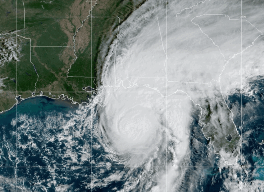
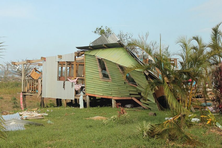
The historically quiet Atlantic hurricane season was broken in dramatic fashion as Isaias slammed into the Gulf coast near Destin, Florida on Friday night. Isaias brought numerous wind gusts over 100 mph (160 kph) to much of the Florida panhandle along with flooding rains and significant storm surge.
Very strong winds and storm surge picking up here across the Okaloosa Island, Florida area as Hurricane Isaias nears landfall.
LSC/NJ https://t.co/mxoJlPQ13l
— Live Storm Chasers (@LiveStormChaser) October 10, 2026
Prior to this week the record strong El Nino has created an inhospitable environment for tropical development across the Atlantic basin for much of the 2026 season. The precursor disturbance dropped torrential rainfall over the highlands of interior Veracruz early in the week, leading to severe flooding. Once over the Gulf, Isaias intensified steadily and was upgraded to a hurricane on Wednesday night. It was the first hurricane of the season, the latest first hurricane of the season on record. Isaias briefly achieved Category 3 (major) hurricane status on Friday, though it weakened slightly just before landfall.
Powerful winds from Hurricane Isaias tore a roof off a Pensacola hotel as the storm approached landfall near Destin on Friday. Footage shows the dramatic moment the roof of the Rest and Relax Inn was torn off by heavy wind gusts.
Read more: https://t.co/JljUw7kKk7 https://t.co/rqJlViAd3d
— ABC7 Eyewitness News (@ABC7) October 11, 2026
🚨 EXTENSIVE STORM SURGE DAMAGE – PENSACOLA BEACH, FL! 🌊⚠️
The aftermath of Hurricane Isaias is incredible across Pensacola Beach, Florida! Thick layers of sand cover many roads after powerful storm surge pushed water and debris inland. Damaged homes, missing roofs, partially collapsed structures, half-sunken boats, downed power lines, and scattered debris paint a devastating picture of the hurricane’s impacts. Evidence of significant coastal flooding can be seen throughout the area.
🎥 Footage available for media licensing: Curtislergner@gmail.com
#HurricaneIsaias #StormSurge #PensacolaBeach #HurricaneAftermath #Florida
— Chicago & Midwest Storm Chasers (@ChicagoMWeather) October 10, 2026
Isaias moved through some of the most dense oil rig concentrations in the Gulf, forcing a pause to over 60% of Gulf oil production. Mandatory evacuations were ordered for residents of the Florida panhandle coast. Pensacola (population around 510,000) was the largest metro impacted by the eyewall. A gust to 102 mph (164 kph) was recorded at the town hall while the town of Jay saw a gust to 118 mph (190 kph). Numerous structures reported major damage including roofs taken off. Downed trees and powerlines were reported across the region, leading to widespread power outages. In fact, nearly a million residents of Florida, Georgia, and Alabama were without power at one point early Saturday. A storm surge of six feet was measured at Panama City, while the entire region saw 8-13 inches (200-325 mm) of rain with rates up to 3 to 4″/hr.