Scattered Severe Weather for Midwest and Mid-Atlantic
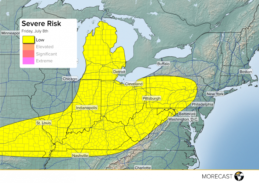
Scattered storms will be likely for a large portion of the Midwest and Mid-Atlantic, from Missouri to Pennsylvania.
Scattered storms will be likely for a large portion of the Midwest and Mid-Atlantic, from Missouri to Pennsylvania.
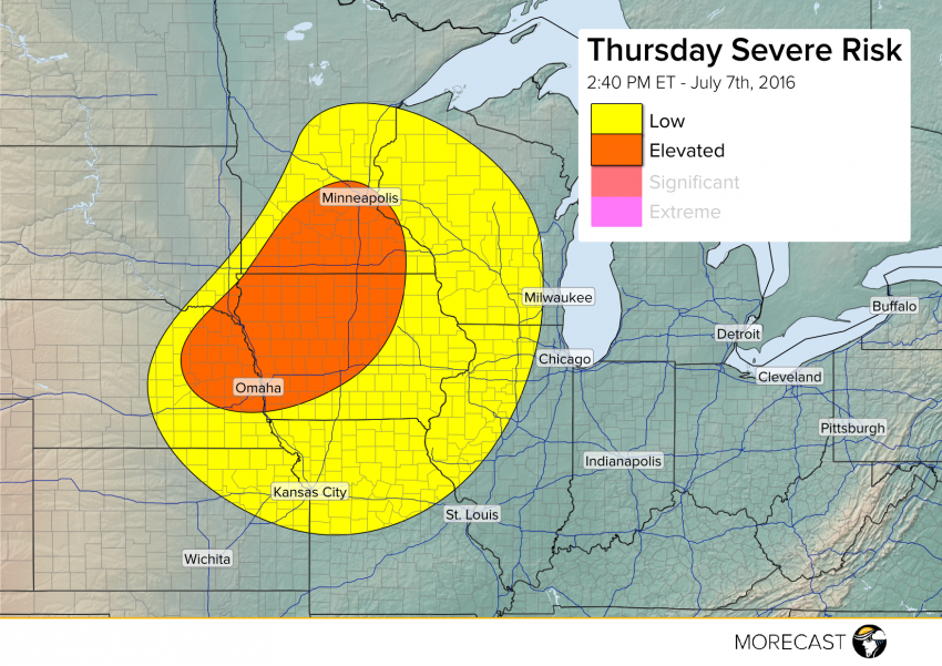
A long-lived squall line of severe storms has passed into the Ohio River Valley with clearing skies allowing the atmosphere to destabilize over the Upper Midwest. An approaching cold front will spark storm development shortly. Severe cells will be capable of producing damaging wind gusts to 65 mph, large hail to 1.5″ in diameter, and perhaps a tornado or two.
Read full article

The Red Bull Cliff Diving World Series continues on July 9th, this time with the stunning backdrop of the Azores. Cliff diving is an extreme sport that draws athletes from around the world to test their strength and focus, diving into the water from platforms as high as 28 meters. The Red Bull Cliff Diving World Series will test the best in the sport at nine different locations around the world.
Read full article
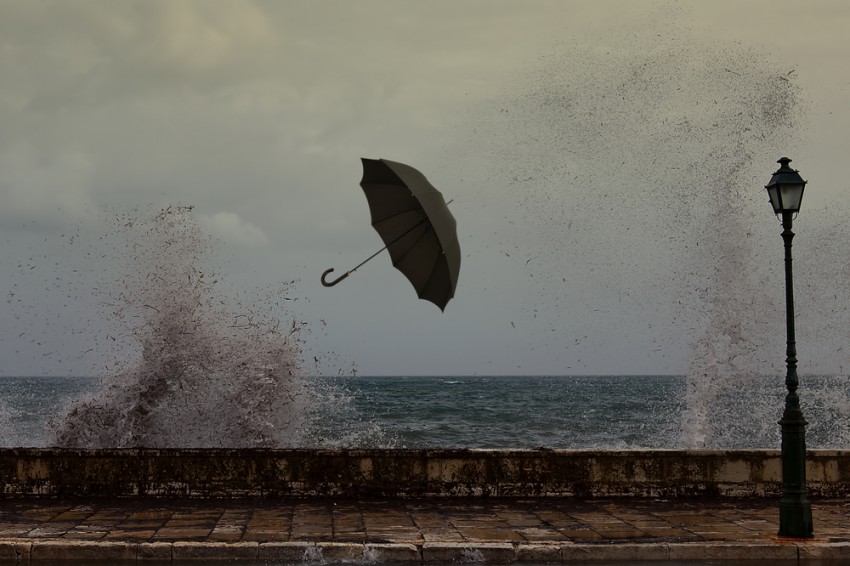
After a relatively quiet period of weather for south-west WA over the past few weeks, things look to ramp up in a big way. Starting this evening (Thursday) and lasting for the next several days, conditions look to be more in keeping for what is usually expected at this time of year.