After a relatively quiet period of weather for south-west WA over the past few weeks, things look to ramp up in a big way. Starting this evening (Thursday) and lasting for the next several days, conditions look to be more in keeping for what is usually expected at this time of year.
A cold front will approach the far south west Thursday evening and sweep northward across the Perth region overnight with a further trough following on Friday evening, bringing the risk of heavy rainfall. Embedded thunderstorm activity could lead to localised much heavier falls especially for south western coastal regions.
Rainfall will be the main concern with these first systems. Present indications show rainfall totals from overnight Thursday to Saturday overnight of 20-60mm across coastal regions from Bunbury to Perth. This also includes the far south-west capes (Margaret River area to Walpole region).
On Saturday the associated intense low pressure system will pass close to the south coast bringing an influx of cold and very blustery SW’ly winds throughout the day. Squally showers will bring a risk of small hail and thunder to coastal regions.
The strongest winds at this stage look like they will be focused across the far south-western coastal area (approx Cape Leeuwin to Albany) with gusts of 80-100km/h possible here. But the Perth metropolitan region isn’t quite out of the woods, as gusts of 60-80km/h mainly for the exposed coasts are possible, especially Saturday overnight and early Sunday morning. The strongest winds will be associated with shower and isolated thunderstorm activity.
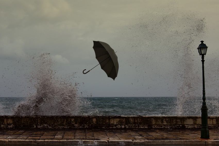
If that wasn’t enough, strong onshore winds coupled with that deep low pressure system are likely to lead to large swell for the far south-western regions (particularly Bunbury southward) leading to a coastal flooding risk.
Conditions finally look to improve on Sunday as the strongest of the winds will transfer further eastwards along the central and south-east coasts of WA.