The Notorious November Witch

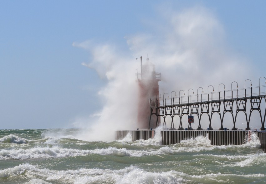
Every Fall, the clash of the first surges of cold air from Canada with lingering warm air from the southern U.S. leads to rapidly intensifying storms accompanied by high winds and churning seas over the Great Lakes, with deadly consequences for ships unfortunate enough to be caught over the open water. These hurricane-strength gales have become known as “November Witches”.

Read full article

Cold Air Funnels

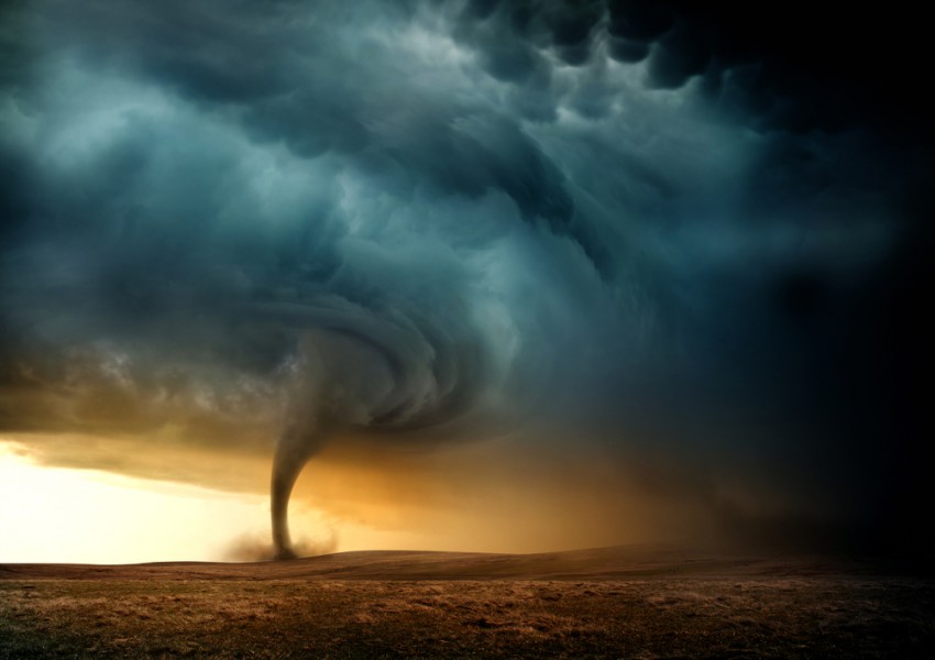
They look ominous, but cold-air funnel clouds are usually harmless.

Typically before a tornado forms, it is preceded by a funnel cloud sticking out from the bottom of a supercellular (rotating) thunderstorm. While not all funnel clouds will produce a tornado, it does indicate the presence of tight rotation at the bottom of the storm, and that a tornado is possible at any moment should that rotating column of air reach the surface.
Read full article

Hurricane Patricia

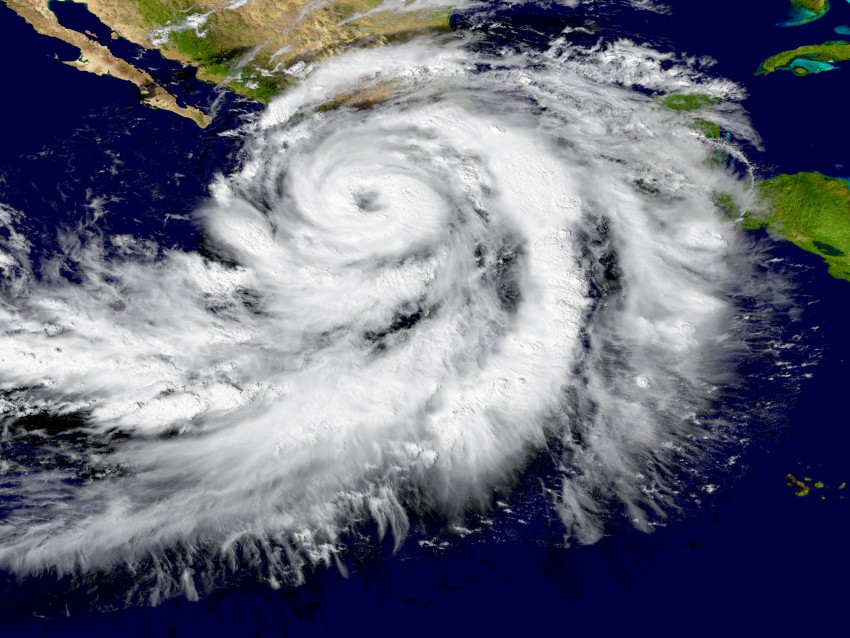
History has taught most of us level-headed meteorologists that the prospects for success in forecasting any given weather event to break (much less shatter) a record are so poor that we usually avoid doing so on principle alone.  But even the most excitable among us were staggered by the cycle of intensification experienced by Hurricane Patricia from Thursday into Friday, 22-23rd October, as it turned from just another middling, minimal hurricane skirting by the sparsely-populated coast of southwestern Mexico to a 200-mph monster.  
Read full article