More Golf Ball Sized Hail For The Plains Today?
A storm system will provide an elevated severe weather risk today across the Plains.
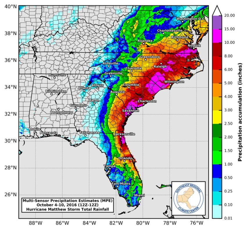
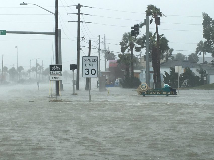
Data from an Air Force Hurricane Hunter flight Saturday morning showed that Matthew was barely holding on to hurricane status, with peak sustained winds weakening to 75 mph. The storm also made its first official landfall in the U.S. Saturday morning, as the eye of the storm moved over McClellanville, South Carolina (located between Charleston and Myrtle Beach). It now looks probable that Matthew could weaken down to a tropical storm at some point Saturday. But even as the winds decrease, the heavy rains continue, and the flood threat remains very high across both North and South Carolina.
Hurricane Matthew is a category three cyclone packing winds of 120 mph. The storm will likely bring significant impacts to the Southeast coast later this week, but what about the Northeast next week? The Morecast team offers a couple of different possibilities for what to expect long term.