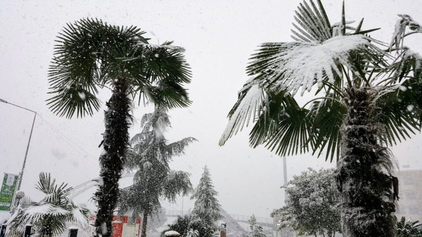
Brutal Heat Wave Torches Northern and Central Argentina
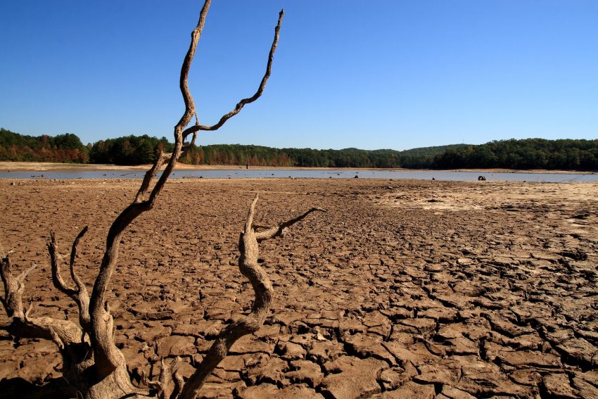
The hottest summer on record in portions of Argentina has not ended with the calendar start of autumn on 1-March. The first ten days of March saw temperatures soaring up to 10 degrees C warmer than average. Record highs have been recorded again and again across the country. The hot, dry weather has sparked numerous wildfires, burning nearly 250,000 acres (100,000 hectares) of forest and farmland since the beginning of the year.
This March heat wave in Argentina has been extreme (see SMN 1-7 March anomalies of Max. temp. up to +10C vs 91-20) and it’s getting worse.
Today more records for March fell39.4 Ezeiza
39.1 Gualeguaychu
38.6 Rosario
38.6 Sauce Viejo tie
37.9 Durazno (Uruguay)Tomorrow ? Worse! pic.twitter.com/wieRiM0v9j
— Extreme Temperatures Around The World (@extremetemps) March 11, 2023
Years of below normal rainfall set the stage for unusual heat coming into the summer. The three-years-long La Niña also contributed to below normal rainfall and above normal temperatures. However, the heat wave this summer is unprecedented. The capital city of Buenos Aires has seen highs exceeding 30 deg C (86 deg F) every day since 28-February, including their hottest March temperature ever this past Monday. Numerous other cities and towns have seen record highs exceeding 40 deg C (104 deg F).
VIDEO Firefighters battle a large fire in Argentina’s northern Corrientes province, where blazes have devoured some 6,000 hectares (14,800 acres) of forests in just days as the South American country faces heat wave after heat wave pic.twitter.com/0LmM1laLQW
— AFP News Agency (@AFP) March 15, 2023
Corn, soybean, and wheat crops have taken catastrophic losses up to 30% due to the heat and wildfires. This will exacerbate economic woes in a country already seeing one of the world’s highest rates of inflation, more than 100% according to the latest figures. Farmers project losses up to $14 billion.