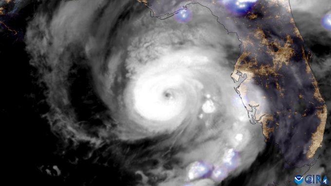
Intensifying Hurricane Beryl Slams Coastal Texas with High Winds, Major Flooding!


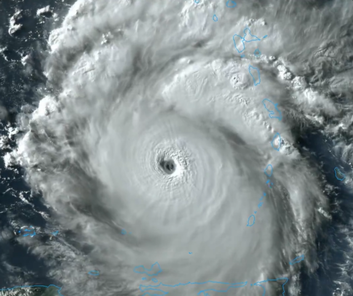
After rolling through the Caribbean last week, Beryl temporarily weakened as it passed over the Yucatan Peninsula. However, very warm water in the Gulf of Mexico helped the storm regain hurricane status. It was still strengthening as it made landfall just south of Houston, Texas on Monday morning.


High winds contributed to a wave of power outages across southeast Texas, eventually including more than two million households. Gusts up to 70 mph (110 kph) were widespread with the Houston metro seeing localized gusts to 90 mph (145 kph). Numerous trees and powerlines and even semi trucks and RVs were knocked over. There were also at least 16 reports of cyclone-induced tornadoes from Texas into Louisiana and Arkansas.


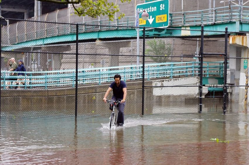
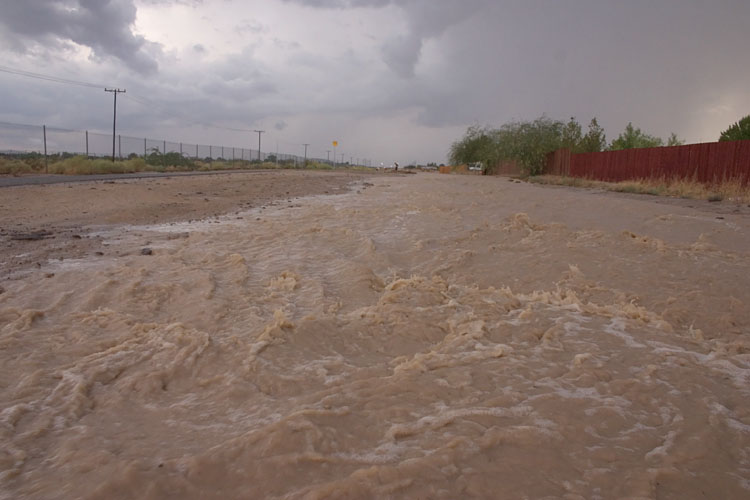
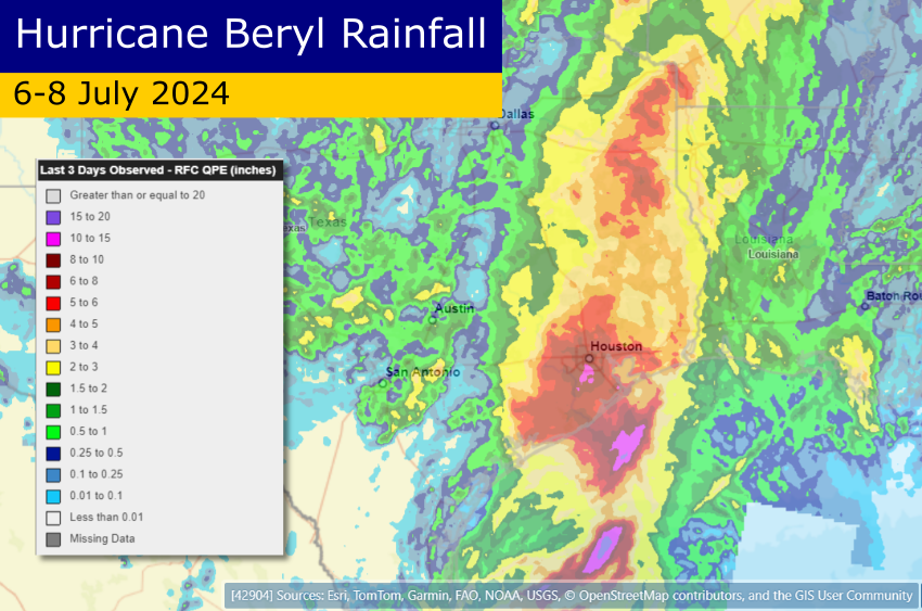
The more widespread and serious hazard was and continues to be flooding. A massive storm surge was pushed into the coast as the storm arrived, up to six feet in some places. Torrential rainfall exceeding a foot was also recorded in the Houston metro (see map above). This combination has inundated hundreds of homes and businesses. It also left dozens of cars and trucks stranded, forcing water rescues. In all the storm has claimed eight lives in the USA as of Tuesday morning, on top of the Caribbean death toll of eleven.

Severe Flooding Paralyzes Parts of New York City!


A stationary band of heavy rain has been dumping torrential rates over New York City since early this morning. Rainfall of 4-8 inches (100-200 mm) has fallen as of early Friday afternoon, overwhelming urban drainage systems and resulting in widespread flooding. The city’s transit systems have been shut down with several feet of water over roadways leading to stalled cars and buses. Subway tracks and stations are also underwater. Air travelers are also facing delays and disruptions due to water in the terminals at La Guardia Airport. A state of emergency has been declared by the governor of New York.


A slow moving low originating in the tropics has been drifting off the US East Coast. An upper low moving in from the west has pulled this tropical moisture up into the NYC metro area today. The density of population and the prevalence of paved ground surfaces mean the city is particularly vulnerable to flash flooding. Serious flood reports have been coming in from four of the five boroughs (Staten Island excepted). Poor drainage areas have been overwhelmed on the major highways such as the Brooklyn-Queens Expressway (BQE), leading to high water and stalled vehicles. In many areas excess runoff from roads has no where to drain except into the subway system. Many thousands of NYC residents also live in basement apartments, a dire situation that lead to fatalities during the city’s last major flooding episode in 2021.

Major Hurricane Idalia Slams Southeastern US with Severe Flooding, Tornadoes


Idalia rapidly gained strength on Tuesday, becoming a major Category Four storm as it sliced north through the Gulf of Mexico. The hurricane made landfall around 8 a.m. ET Wednesday near Keaton Beach, bringing sustained winds to 125 mph (200 kph) and a storm surge as high as 16 feet (4.9 m). It’s the strongest storm since 1896 to hit Florida’s Big Bend region. The storm moved quickly north through Wednesday evening, bringing serious impacts to Georgia and the Carolinas.


Storm surge resulted in record flooding for a lengthy stretch of the Florida Gulf Coast. The hurricane-induced surge was enhanced by a rare “blue supermoon”. This is the second full moon within the month as well as the closest approach of the moon to the earth. As a result, tides are higher than normal, exacerbating the impact of storm surge. Several tidal stations reported their highest mark ever, including Tampa Bay, more than 100 miles away from the landfall point. Winds gusting over 100 mph (160 kph) helped bring down many trees and powerlines, resulting in hundreds of thousands losing power.


Significant hazards accompanied the storm long after the Florida landfall. Surge flooding affected the coast of Georgia and South Carolina. Charleston Harbor recorded its fifth-highest water level ever. Isolated tropical tornadoes also raced across portions of the South Carolina lowcountry (see video above). Widespread heavy rainfall of 4-8 inches have led to deadly flash flooding and will eventually raise streams and rivers above flood stage in the coming days.

Catastrophic Flooding Shuts Down Southern Cal as Hilary Roars North


History was made over the weekend as Hurricane Hilary moved north just off the Baja California. The storm weakened rapidly as expected. However, Hilary still managed to make landfall in the L.A. Basin Sunday night as a tropical storm, the first since 1939. Gusty winds affected the immediate coast but by far the most widespread and severe impacts have been from heavy rain.


Prolonged southerly flow has pumped copious moisture from the tropical Pacific into the Southwest US, especially southern California. Rainfall of 3-6 inches (75-150 mm) has been common over the high deserts and mountains with amounts of 1-3 inches (25-75 mm) in metro Los Angeles. The 4-5 inches (100-125 mm) recorded around Palmdale are close to the yearly average for the area. The heaviest bands were producing up to one inch per hour at times in places like Burbank and Palm Springs.


This torrential rainfall has led to widespread flash flooding as well as mud and rock slides. Major highways and interstates across the region have been damaged, closing off whole communities. Additional major flooding will spread north through Nevada and into the Northern Rockies. Lead photo courtesy Flickr contributor David O.