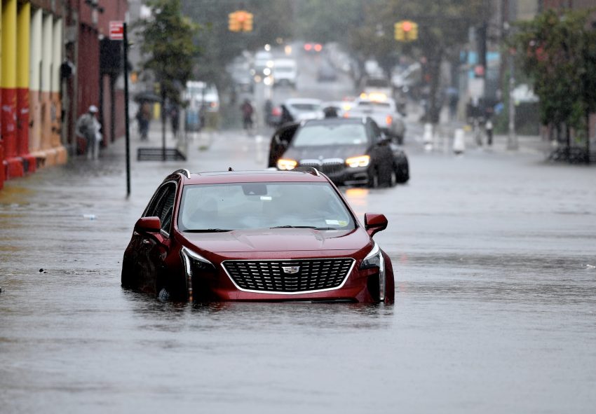
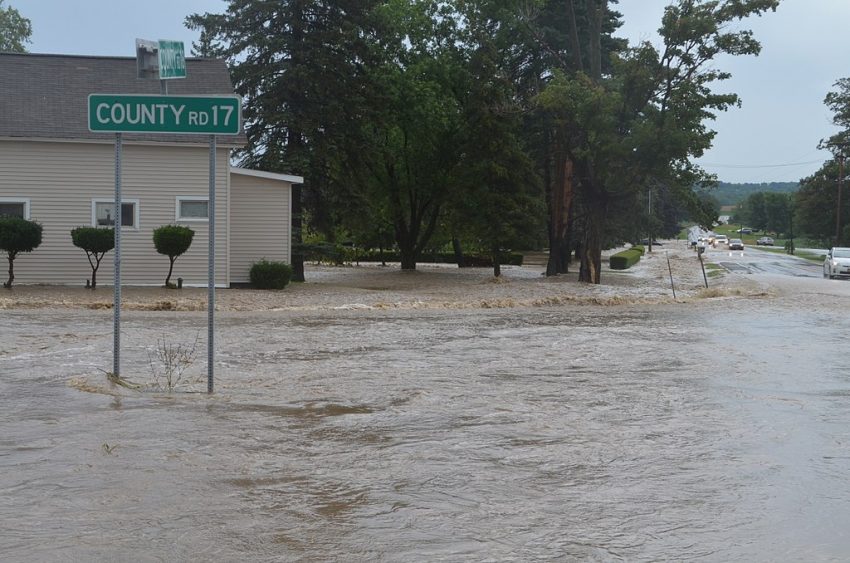
Major Flooding Hits Juneau, Alaska For the Third August in a Row Thanks to Glacial Outburst


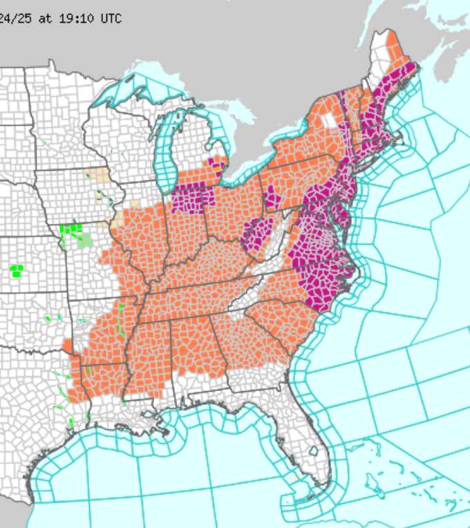
The Mendenhall River rose dramatically overnight into Wednesday morning in the Alaskan state capital of Juneau. The river crested at 16.65 feet (5.1 m) late Wednesday morning, a new record. Power was intentionally cut to the area and evacuations were ordered. However, emergency barriers put up in recent days anticipating the flood prevented significant damage to most homes and businesses. The flooding is due to a phenomenon known as a “glacial outburst”, an annual surge of water that has become increasingly dangerous thanks to global warming.


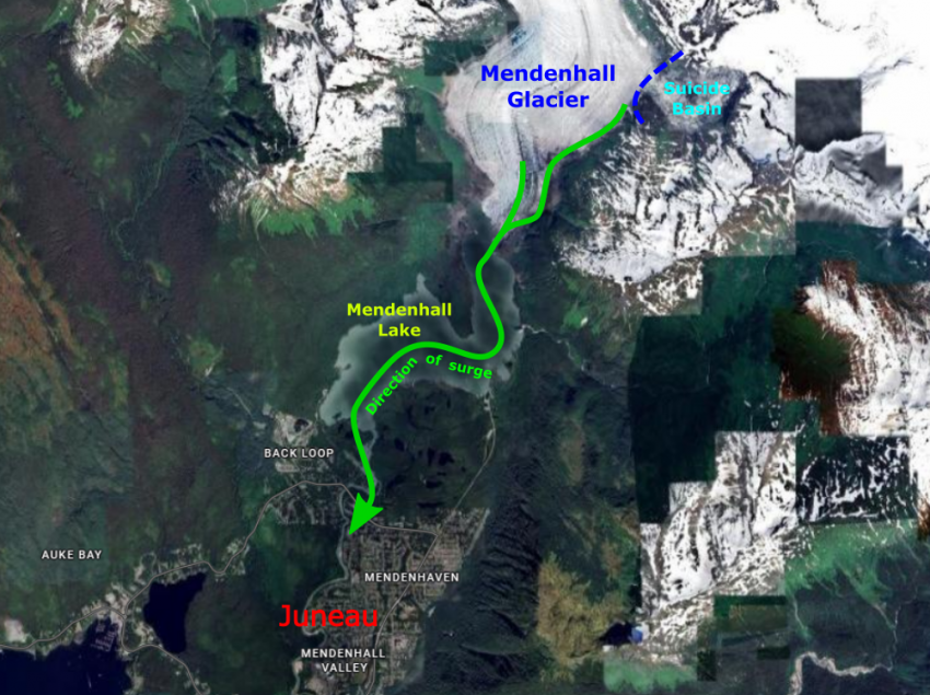
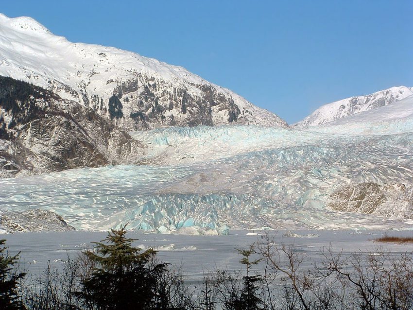
The Mendenhall Glacier lies about 12 miles (19 km) upstream of Juneau. This glacier has been retreating steadily due to climate change with about 1.75 miles (2.8 km) lost since 1929. The resulting meltwater feeds into Mendenhall Lake and eventually Mendenhall River, which runs through Juneau. It also fills the adjacent Suicide Basin, held back by a temporary ice dam. As temperatures rise into Augusta and the Basin fills up, the ice dam eventually breaks, sending a flooding surge down into the Alaskan state capital. Global warming has led to higher and higher river surges the past three years. The outburst surge in August of 2024 flooded basements and damaged some roads. Fortunately, officials were able to anticipate the surge this season and prevent significant flooding damage. Lead photo courtesy Wikipedia user Ringbang

Record Flooding Stops Subways in New York City!


Nearly stationary storms dropped record rainfall in portions of New Jersey, New York, and Connecticut late Monday. The sudden deluge caused serious flash flooding in the NYC metro, halting traffic both above and below ground. At least two people lost their lives when their car was swept off the road in Plainfield, NJ.


Slow-moving storms erupted first in the NYC suburbs mid-afternoon Monday before converging on the city early in the evening. The storms produced torrential rainfall rates up to 2″/hr (50 mm/hr), overwhelming drainage systems across the region. Central Park in Manhattan shattered a daily record with 2.64″ (67 mm). Most of this fell between 7-8 pm, the second-wettest hour ever recorded at that station. Other nearby stations saw as much as 3-6 inches (150 mm).


Runoff quickly covered roads and highways with 1-2 feet of water, forcing numerous road and highway closures. Hundreds of emergency calls were placed for water rescues from stranded cars. Subway lines were shut down as the runoff inundated platforms and tracks (see video above). Residents of basement apartments in NYC had to deal with sudden waist-deep water. Protocol changes following the tragic basement drownings in September 2021 seem to have helped avoid similar injuries and deaths in this case, fortunately. Lead photo courtesy MTA’s Marc Hermann.


Torrential Rainfall Leads to Sudden Flash Flood, Killing Dozens in Texas


A stationary storm dropped up to a foot of rain in a matter of hours overnight Thursday in central Texas. Runoff from these rains forced the Guadalupe River to rise 26 feet (7 m) in approximately 45 minutes (see river gage data below). Communities and camps along the river were inundated too quickly for an evacuation to be organized. Hundreds of people were caught and swept away by the the floodwaters. Unfortunately two dozen fatalities have been reported with dozens more still missing.


Much of the worst flooding has occurred near Kerrville, Texas, where the Guadalupe River rose to its second-highest peak on record. Hundreds of first responders have been called to the scene from across the state, including at least 14 search-and-rescue helicopters. Many of those still missing were attending Camp Mystic, an all-girls summer camp. Some of the campers and staff have been pulled from cars, unmoored structures, even clinging to trees above the floodwaters, but 23 are still unaccounted for as of Friday night.

Midwest and Eastern U.S. Broiling in Record-Breaking Heatwave


A massive dome of extreme heat has enveloped central and eastern portions of the U.S. in the last few days. Numerous major cities have set daily and even monthly high temperature records, putting a significant strain on water and power resources across these regions.


The heat built first over the Upper Midwest and Great Lakes on Sunday. Minneapolis saw a high of 96 deg F (35.6 deg C) on Sunday, setting a new daily record, while Chicago set a new record for warm overnight low Sunday night. The heat dome spread east for Monday and Tuesday, encompassing all the major cities along the Urban Corridor. At one point over 150 million Americans were under heat advisories or Extreme Heat Warnings (see image above). New monthly high temperature records were set in Boston, Massachusetts (102 deg F / 38.9 deg C), Providence, Rhode Island (100 deg F / 37.8 deg C), New York, NY (102 deg F / 38.9 deg C), and Newark, New Jersey (103 deg F / 39.4 deg C). Heat index values soared well into the 110s, greatly escalating the risk of heat stroke for anyone spending time outdoors.


The overwhelming strain on power grids caused thousands to lose power in several states, a significant danger when air conditioning is so essential. Rail commuters faced major delays as extreme heat caused significant speed restrictions due to the danger of track warping. The heat even caused hazardous buckling in roadways (see video above).