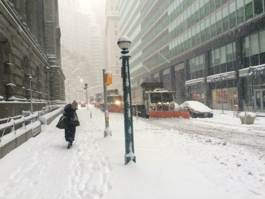
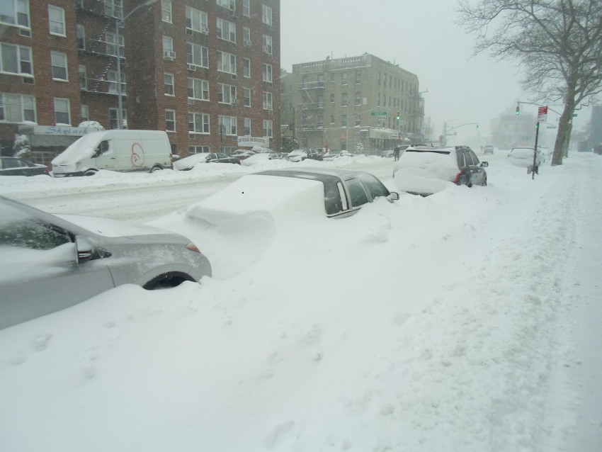
Weather Models Get Mixed Grades Forecasting Blizzard of 2016
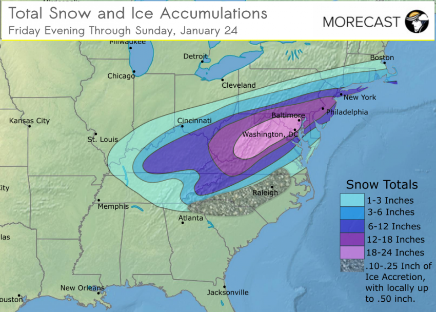
In response to a few headline-making forecast busts, most notably Superstorm Sandy in 2012, the U.S. federal government has made a major effort to close the quality gap between the American weather models and those run by agencies in Europe. Implemented in piecemeal fashion over the past 12-18 months, the upgrade has already yielded some modest signs of improvement. But how did the models perform with the “Blizzard of 2016”, one of the biggest snowstorms ever to hit the United States?
Read full article![]()