Potentially Severe Storms for the Lone Star State
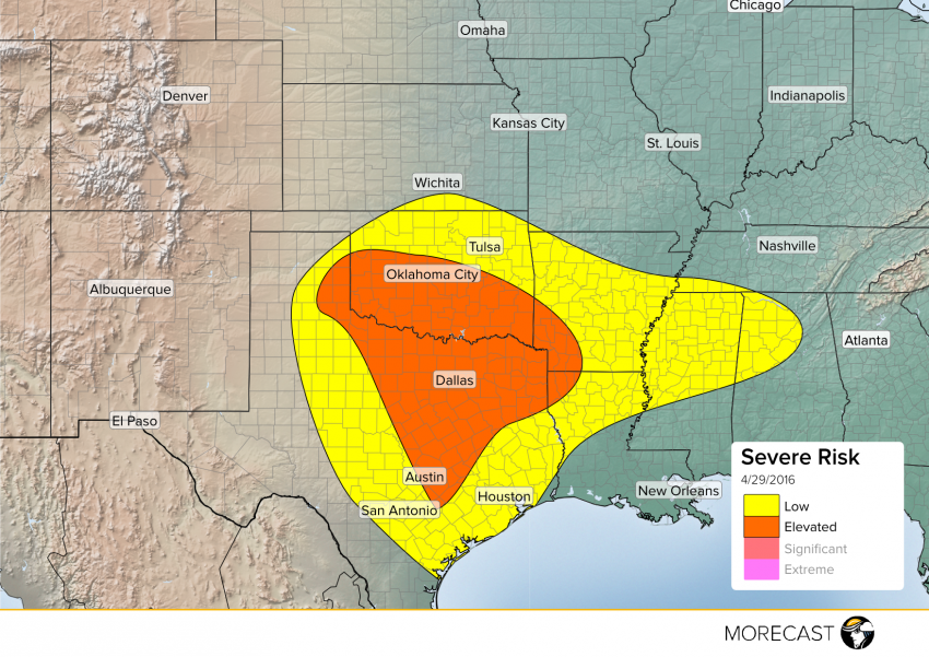
A storm system developing along the New Mexico/Oklahoma/Texas border to bring potentially severe storms to West Texas this afternoon and into the overnight.
Read full article![]()
A storm system developing along the New Mexico/Oklahoma/Texas border to bring potentially severe storms to West Texas this afternoon and into the overnight.
Read full article![]()
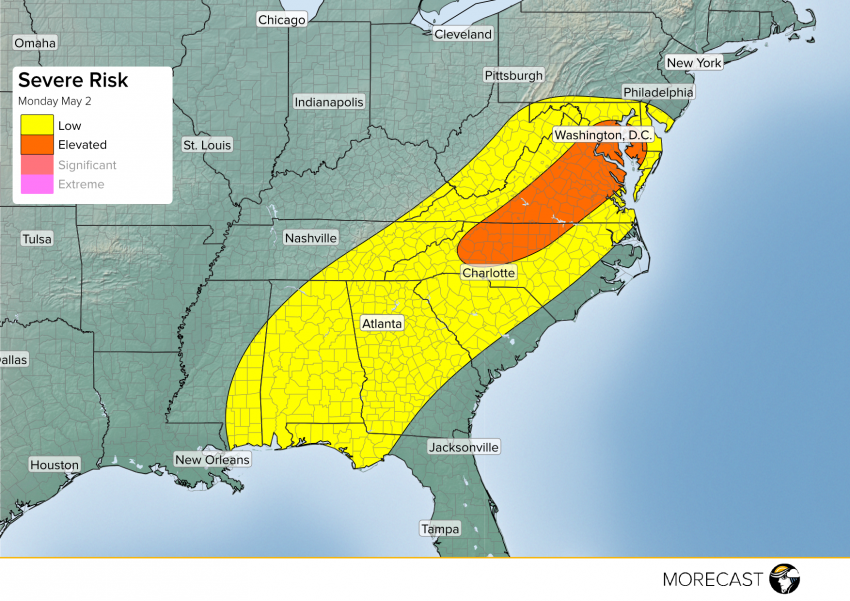
There is a risk for strong to severe thunderstorms across North Carolina and parts of Virginia. Storms will develop this afternoon with the help of a system moving toward the southeast from the west.
After a severe weather outbreak Tuesday in the Great Plains that pounded several areas with damaging winds and large hail larger than softballs, the storm system will progress east, putting those living along and near the Mississippi River at risk for severe weather Wednesday.
Those on the northern end of the risk area, such as Iowa, Illinois, Missouri (including St. Louis), western Kentucky and western Tennessee (including Memphis) will have storms capable of producing large hail and damaging winds, and possibly a couple of tornadoes Wednesday afternoon into the evening hours. Farther south into Mississippi and northwest Arkansas, the primary threat from storms will be destructive straight line winds. Portions of western Louisiana already saw storms Wednesday morning that produced gusts in excess of 70 mph, and those storms are moving east.
A cold front will move through the Mid Atlantic Tuesday afternoon, triggering scattered thunderstorms, a few of which may become severe.
Read full article![]()