Parched West Primed for More Summer Wildfires
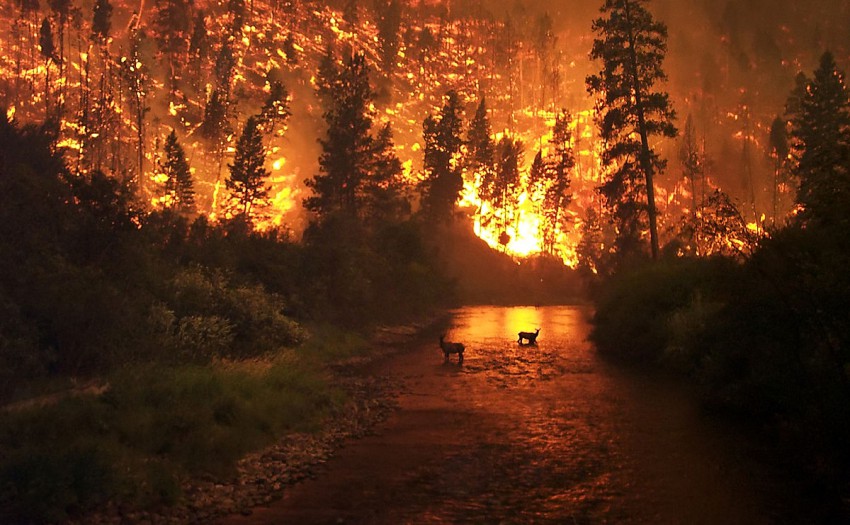
The collapse of the 2015-16 El Niño, one of the strongest ever recorded, has left many residents of the Golden State similarly deflated. Despite forecasts and hopes of an alleviation of California’s multi-year drought by abundant precipitation from El Niño-driven winter storms, much of the state remains stuck in the “Exceptional” category. With a drier, warmer La Niña pattern in the forecast heading into the fall and winter, not only are agricultural interests preparing for another handicapped harvest season, but a more sensational and urgent threat associated with persistent drought has unfortunately made recent international headlines – massive, devastating wildfires.
Read full article