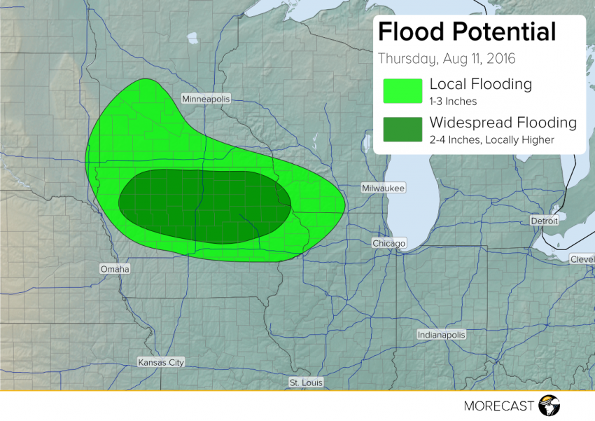
Major Flooding Thursday Night over the Midwest!
Heavy storms will move slowly along a stalled boundary tonight, producing hours of torrential rainfall and leading to widespread flash flooding, especially across northern Iowa.
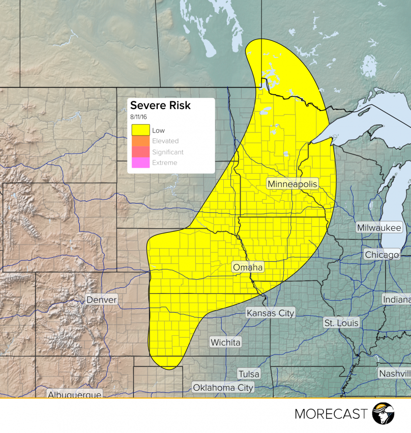
Watch for some severe weather to pop up across portions of the Upper Midwest and Plains today.
Read full article![]()
High pressure near the Carolina coast pushing hot and sticky weather into the Northern Tier as southwesterly flow around the high pumps ample moisture and warm air in from the Gulf. High dew points in the mid 70’s are combining with air temperatures in the upper 80’s to mid 90’s to cause heat indicies to top out at over 100°F in some cities.
Read full article![]()
Severe thunderstorms are expected to develop this afternoon/evening across South-North Dakota and move eastward into Minnesota/Western Wisconsin during the evening and early overnight.