Tropical Storm Nestor Racing Northeast Towards Florida Panhandle!


Late-season tropical activity has picked up in the Gulf of Mexico with Nestor developing from Thursday into Friday. Strong upper level winds are acting to limit the storm’s intensity and move it quickly northeast. In fact, Nestor will be completely off the Carolina coast by Sunday morning. In the meantime, though, Nestor will produce some heavy rain and gusty winds from Florida through Georgia to the Carolinas.


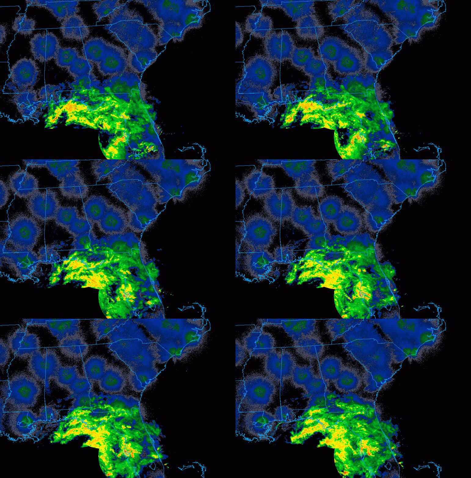
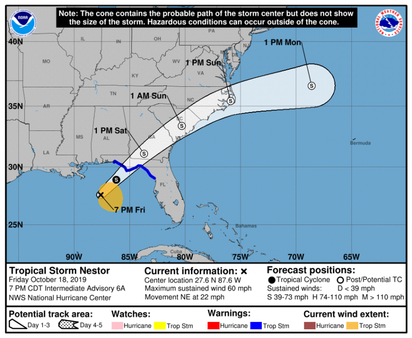
As of Friday evening, Nestor is located about 130 miles (210 km) southwest of Panama City, FL. Moderate to heavy rainfall is already spreading over the region (see animation above). The storm is producing sustained winds to 60 mph (100 kph), moving northeast at near 23 mph (37 kph), rather fast for a cyclone. Nestor will remain a strong tropical storm through landfall, now expected to occur early Saturday morning just south of Panama City (see track map below).


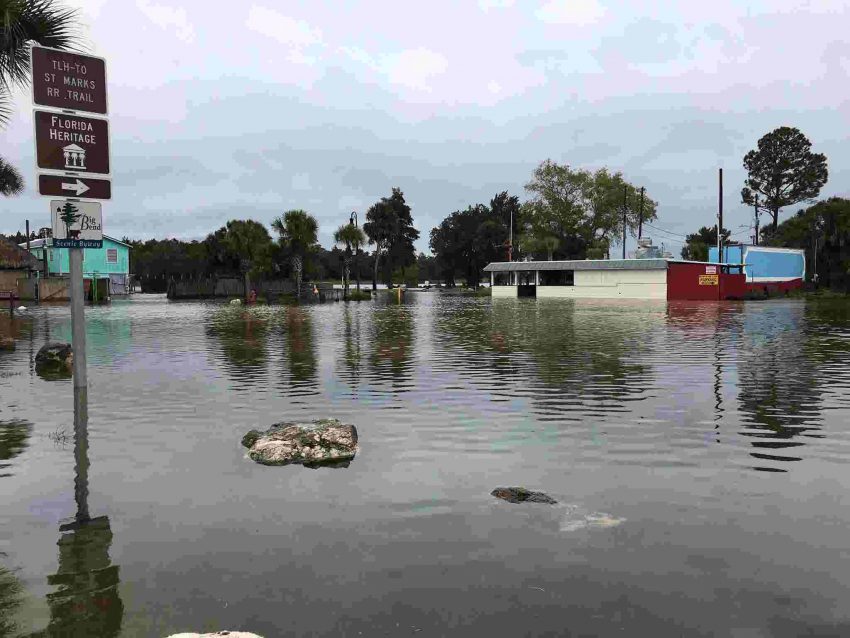
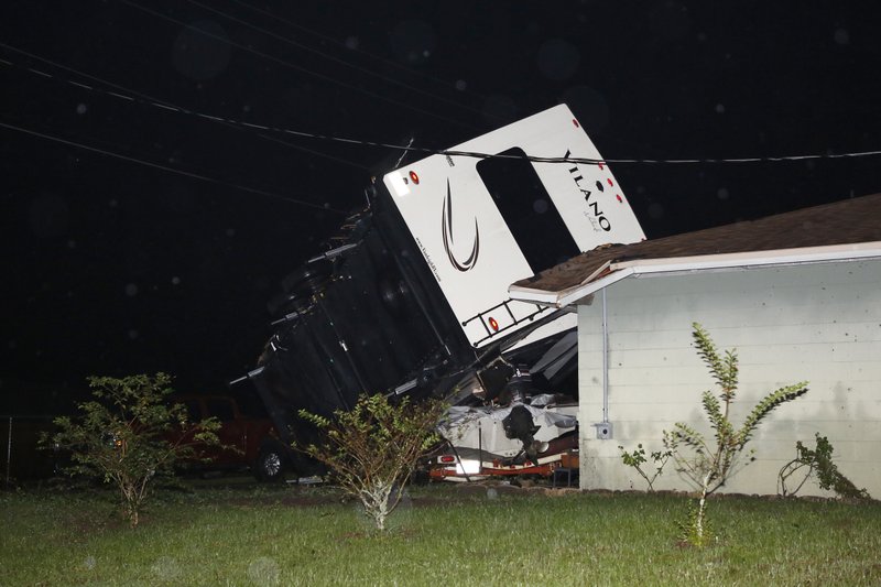
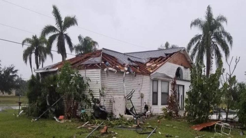
The storm will likely transition to extratropical status shortly after landfall. However, it will still be capable of producing damaging winds and localized flash flooding. The fast forward speed could also enhance the storm surge potential for sections of the Florida Gulf coast, probably the most dangerous threat from this storm. Some locations will see a surge of up to 4-5 feet inundate the coast. Rainfall of three to locally six inches (75-150 mm) will fall over much of the Southeast. Wind gusts of 45-60 mph will combine with rain-weakened soil to knock down numerous trees. Isolated tornadoes will lead to localized areas of heavier damage. Lead photo courtesy Army National Guard, Lt. Zachary West.

Typhoon Hagibis Pummels Japan!

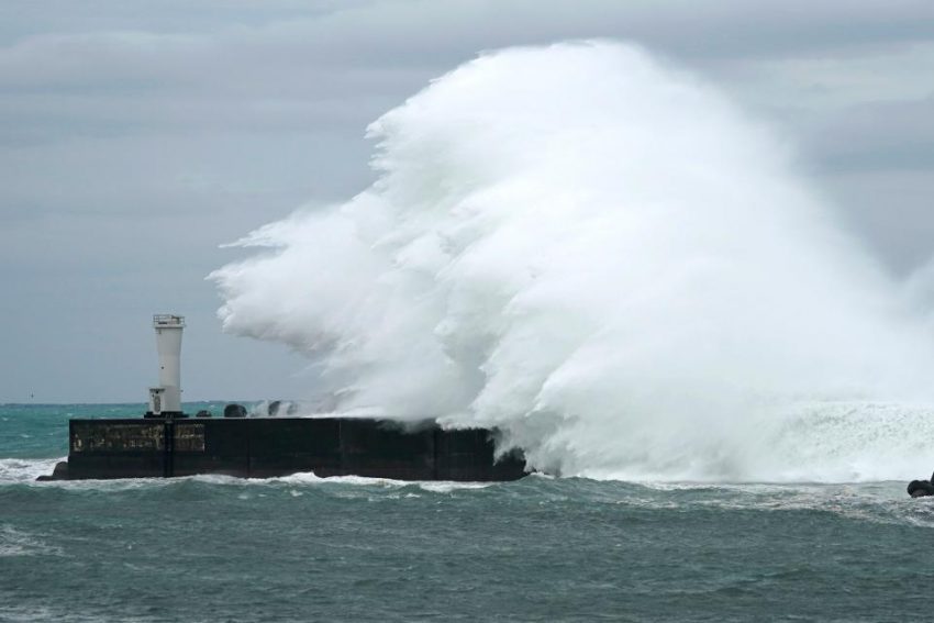
Typhoon Hagibis made landfall on the Izu Peninsula of Japan on Saturday evening. With winds of 144kph and gusts up to 160kph at landfall, Hagibis is the second typhoon to strike Japan within the last month. So far, 35 people have been killed, and hundreds have been injured, with dozens more missing, or unaccounted for. 500,000 homes are in the dark as crews are feverishly trying to restore the power. Many government officials and residents alike are calling this the worst storm to strike Japan since Typhoon Ida in 1958. Tokyo, one of the world’s most populous metropolitan regions, was brought to a complete standstill on Saturday as Hagibis roared through.


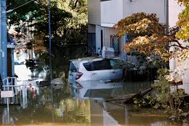
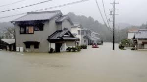
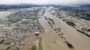
Although the winds were damaging, the most destructive facet of Hagibis was the rainfall. A record breaking total of 939mm was recorded in the town of Hakone, while amounts between 200-500mm were observed elsewhere in the country. These staggering amounts of rain have led to widespread flooding as many rivers have come over their banks, and levees have collapsed. Landslides have also been numerous in mountainous regions. Several hundred of Japan’s iconic bullet trains have been damaged as the rail yards they sit in were flooded.


Countless dramatic scenes have unfolded throughout the country in the last 24 hours. As residents have been trapped on their roofs, military helicopters have come to their aid by airlifting them to safety. Unfortunately, not all of the people being rescued made it to safety. One 77 year old woman fell to her death while being rescued, as rescuers incorrectly put her harness on while she was being airlifted. In Tokyo Bay, a 1,925 ton cargo ship sank in the violent surf. It’s crew members were tossed into the bay, but luckily were rescued promptly.


Despite Japan being well prepared for tropical cyclones, Hagibis delivered a particularly hard blow to the country. The extremely high rainfall rates were just too high for the infrastructure to handle, and water tables have been running high since the last storm. Nonetheless, had Japan not been as prepared as it is, the devastation from Hagibis would have been far greater.

Typhoon Hagibis Targets Japan!

As Typhoon Hagibis is heading towards Japan, the island nation is bracing for it’s impact. The storm is currently churning offshore, packing winds of 162kph, and is expected to make landfall late on Saturday night. Hagibis is very dangerous not just because of it’s strength, but it’s sheer size. It’s wind field spans 1400km, which is nearly half the length of Japan.

Before coming down to it’s current pressure of 943hPa, Hagibis went from 992hPa to 915hPa within 24 hours, making it the ninth most rapidly intensifying storm in recorded history, and one of the most intense tropical cyclones of 2019. Forecasts are calling for Hagibis to have a central pressure of 950hPa as it makes landfall near Tokyo. If this occurs, it would be the strongest storm to ever hit that region.

Hagibis has potential to break records as it is expected to bring wind gusts of up to 216kph, 300-500mm of rain, with some spots seeing up to 800mm, and devastating storm surge, with water levels possibly reaching as high as 13m. If those effects weren’t bad enough, the storm will make landfall during a full moon phase, which will lead to higher than normal tides, and only exacerbate the coastal flooding.

Although Japan is no stranger to typhoons, with 11 typhoons approaching, and two directly hitting the country on average every year, Hagibis is coming on the heels of Typhoon Faxai, which struck the region last month. That storm brought record breaking gusts of 207kph, several people were killed, and hundreds of thousands of homes were damaged or destroyed. Many residents remain in shelters, while numerous homes still have plastic tarps in place as makeshift roofs.


In preparation of the storm, flights have been canceled, trains halted, and both the Rugby World Cup and Japanese Grand Prix, have postponed games until Sunday. Supermarket shelves have been completely wiped out as shoppers stock up on supplies to get them through the storm.

Super Typhoon Hagibis Barrels Over the Marianas, Could Threaten Japan This Weekend!


Typhoon Hagibis, just a tropical storm early Monday, underwent a period of rapid intensification through early Tuesday. In fact, Hagibis gained 100 mph of intensity in less than 24 hours, the fastest intensification of any Pacific basin cyclone since 1996. Islands in the northern part of the Marianas bore the brunt of this monster storm. Now the cyclone is moving back over open waters with Japan potentially in the crosshairs this upcoming weekend.


Hagibis has been moving west-northwest and passed some distance north of the most populated of the Marianas group. Model guidance is in good agreement that the cyclone will turn northwestward, then eventually curve to the north and northeast. Where this occurs will determine whether the cyclone makes a glancing blow on Japan or a destructive landfall. Some fluctuations in intensity are likely in the next few days. Later this week, Hagibis will encounter cooler water temperatures, leading to a weakening trend as it approaches Japan. Hagibis will remain a large and powerful cyclone, however, and significant impacts are likely. A direct landfall would mean life-threatening storm surge, destructive winds, and serious flash flooding. Major sporting events scheduled for this weekend in Japan like the Rugby World Cup and the F1 Japanese Grand Prix could face significant disruptions.