Dangerous Overnight Tornado Outbreak Threatens the Southern US
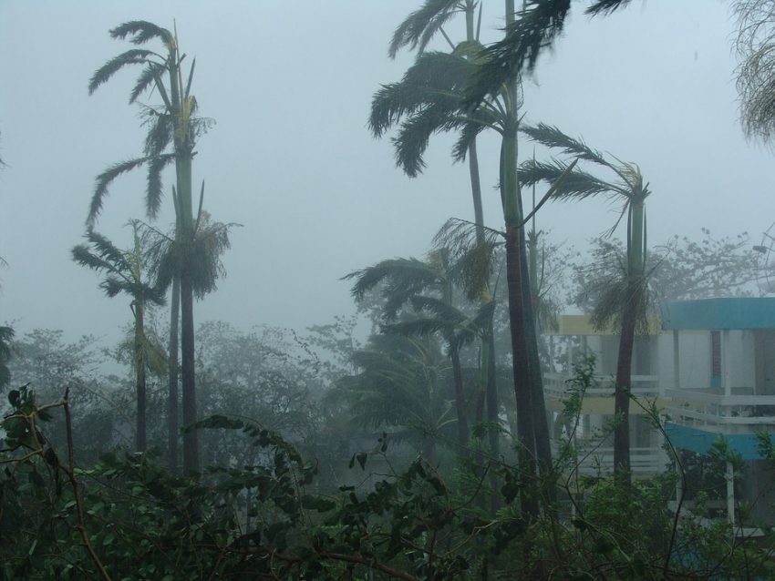
An extremely dangerous outbreak of severe storms, including tornadoes, will threaten the southern U.S. late on Easter Sunday through early Monday. Tornadoes and other severe hazards are particularly deadly when they occur at night due to poor visibility and the fact that many people are asleep. Keep your sources of emergency information close at hand and be prepared to seek shelter if necessary!
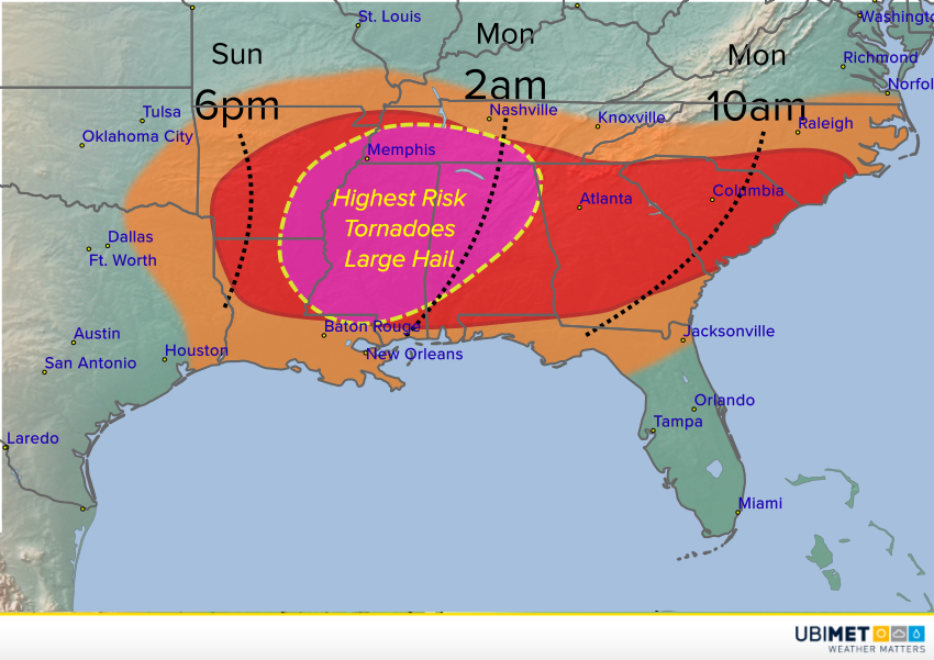
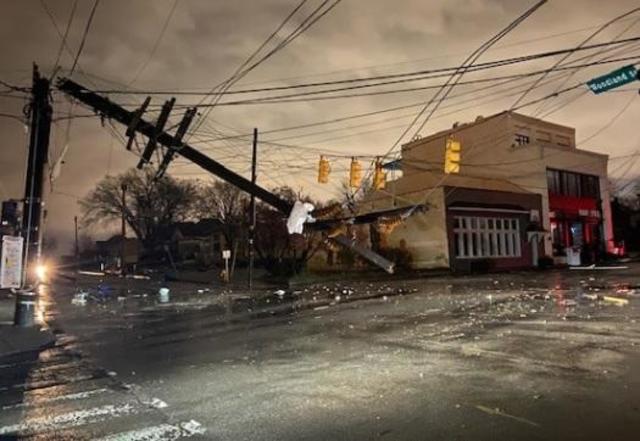
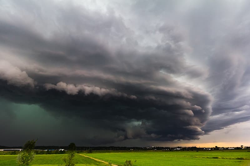
A strong upper level trough is pivoting out of the southwest U.S. tonight. Severe storms have already broken out over portions of west Texas with large hail and isolated tornadoes. The system will encounter rich moisture from the Gulf of Mexico on Sunday, fueling more and stronger supercell thunderstorms, especially later in the afternoon into the evening. Unfortunately, the best combination of strong upper level winds and moist instability will come together on Sunday evening over portions of Louisiana, Arkansas, western Tennessee, Mississippi, and Alabama. Deadly tornadoes and damaging hail up to three inches (7.5 cm) in diameter will occur in this region. The supercells will likely consolidate into a squall line that will race into the southeast Monday morning. Here the most widespread threat will be destructive straight-line winds up to 80 mph (130 kph), although isolated tornadoes and large hail may still occur. Major cities in the path of these severe cells include Jackson, MS, Memphis, TN, Atlanta, GA, and Columbia, SC.