Christmas Storm Set to Wallop the Northeast U.S. with Flooding and High Winds!
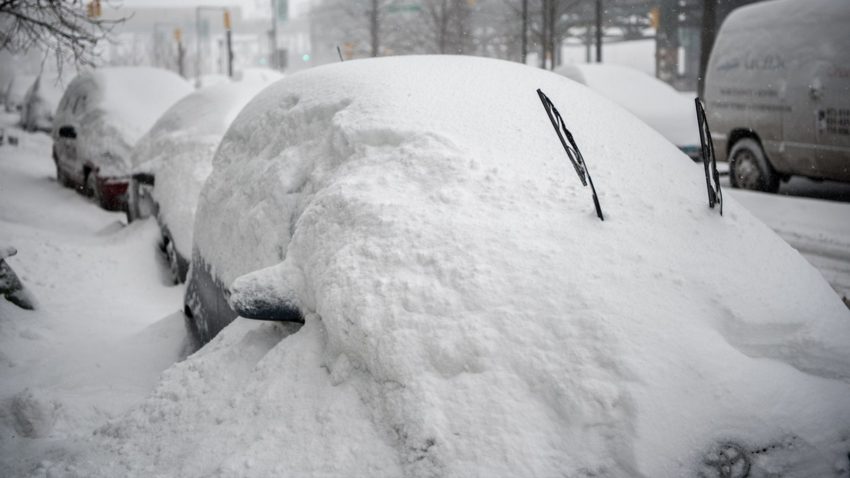
An unusually strong and large storm will sprint northeastward late this week, bringing a surge of warm tropical moisture into the Northeast. Less than a week ago, this region saw a massive snowstorm that left feet of accumulation on the ground. Heavy rains and the rapid melting of this recent snow will lead to major flooding. Meanwhile, vicious southerly winds ahead of a sharp cold front will bring down numerous trees and large branches. Widespread power outages could spoil many a Christmas morn!
WHOA! Check out that power… literally! The lines are galloping so bad near New Richland the powerlines are ARCING! Credit: Trey Hoppe #MNWX #Blizzard #Electricity #PowerLines @NWSTwinCities pic.twitter.com/1IkWpZAfuI
— Chris Kuball (@ChrisKuball) December 24, 2020
Some of the more robust #blizzard conditions I’ve seen! (Harrisburg, SD) pic.twitter.com/DB0eNCTZfC
— Andrew Kalin (@ajkalin) December 23, 2020
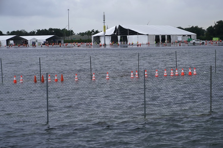
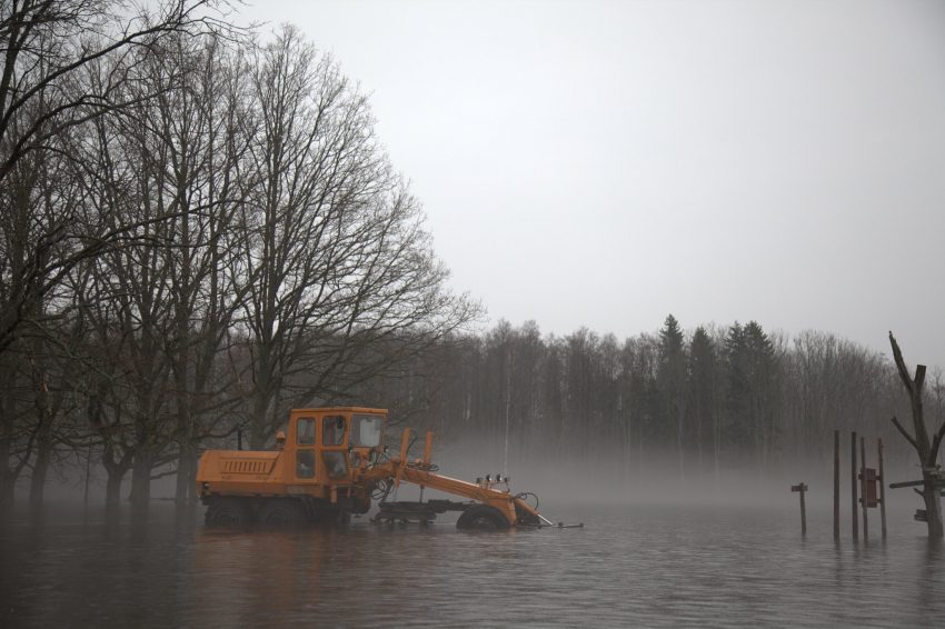
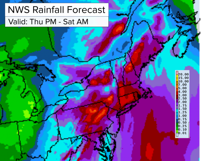
The system in question is currently approaching the Great Lakes. High winds and heavy snows on the west flank of the system are creating dangerous blizzard conditions through the Upper Midwest (see tweet videos above). Isolated tornadoes are keeping residents of Louisiana awake tonight to the south. This Gulf moisture will race up the Eastern Seaboard on Christmas Eve, dropping widespread 1.5-3 inch (38-75 mm) totals in a matter of hours (see map below). Some of the favorable south-facing terrain of the central and northern Appalachians will enhance rainfall locally up to 4-5 inches (75-125 mm). These same areas saw the heaviest snows with the recent storm, exceeding three feet (90 cm) in some locations. Rapid melting of this snow due to new rains and warm temperatures will lead to serious flash flooding. Many streams and rivers will surge out of their banks as well in the coming days.
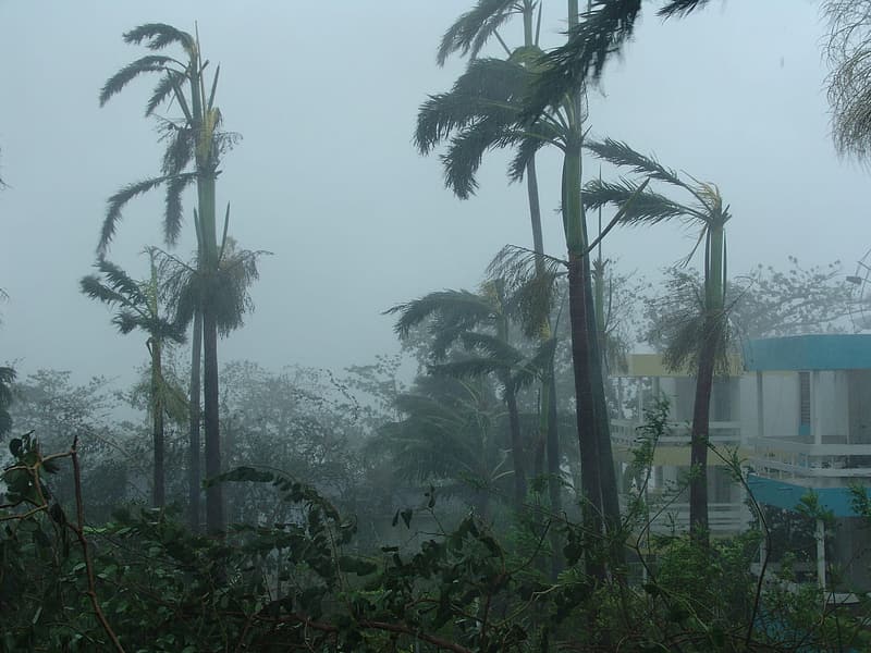
The other hazard on the warm side of the system will be destructive southerly winds. Southern New England will bear the brunt of this threat on Friday morning. Gusts of 50-65 mph (80-105 kph) will be common. A few exposed islands and coastal areas will see gusts as high as 75 mph (120 kph), especially near fast-moving thunderstorm cells. Winds of this magnitude will bring down large branches and uproot trees, knocking down powerlines and leading to widespread power outages. To make matters worse, Friday’s surge of warm air will be replaced late in the day by a wintry blast. Temperatures over the weekend will stay locked below freezing. Households without power will face dangerously cold conditions if an alternative heat source is unavailable. Those with backup generators are urged to prepare for an extended period without main electrical power. Lead photo courtesy flickr user Lauri Vain.