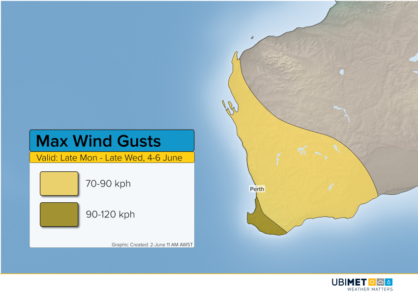
Another Major Storm Targets Western Australia Early Next Week


Residents of Western Australia should brace for more heavy rain and gusty winds early to mid next week as another big storm approaches. The winds and rain will move into the west-central coast late Monday, spreading south and east through Tuesday. Conditions will improve by late Wednesday into early Thursday.


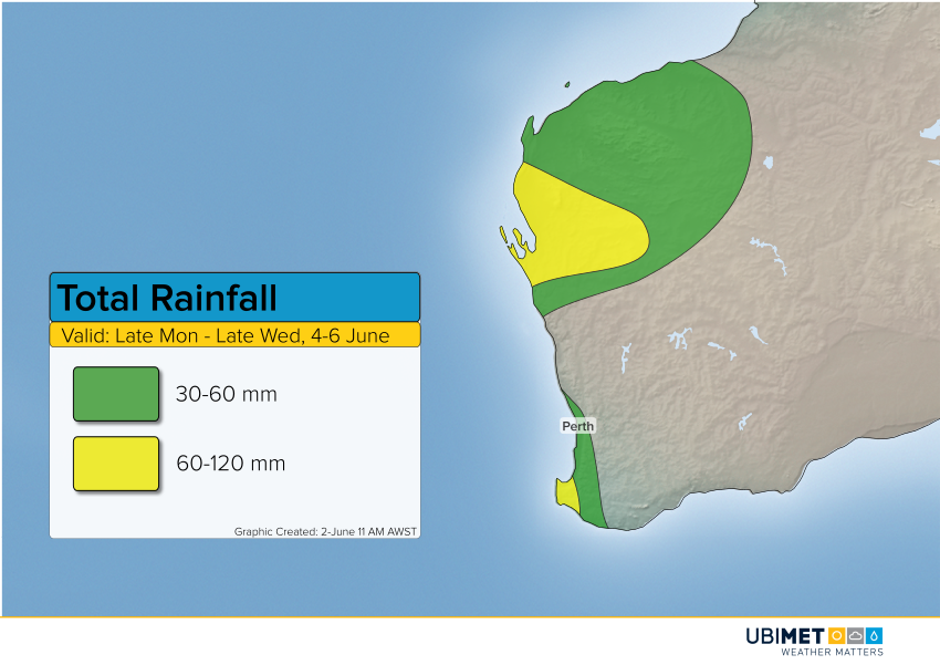
The heaviest rainfall amounts of 60-120 mm will fall with a slow-moving front over the Gascoyne district. In this region, expect serious flash flooding. Rainfall amounts exceeding 60 mm will also occur over the southwest Capes. More localized flooding will occur elsewhere with amounts 30-60 mm, including the Perth metro area.

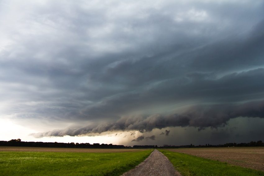
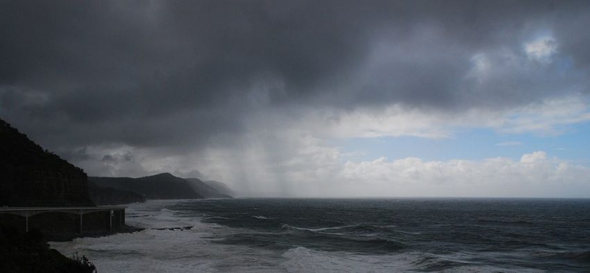
The highest wind gusts of 90-120 kph will be measured over the far southwest, especially the wind-prone Capes. Wind gusts of 70-90 kph will affect a much larger area, including Perth. The worst weather looks to hit the Perth metro on Tuesday morning and midday. Lead photo courtesy Wikipedia user Coalcliff.


Dangerous Squall Line Set to Explode over the Northern Plains!


Extreme instability has developed thanks to high humidity and hot surface temperatures in a narrow corridor through the Plains. Storms are blossoming in this corridor and are likely to become severe, expanding and intensifying through tonight.


It looks likely that the storms will organize again this evening into a fast-moving squall line. Widespread destructive winds will occur with gusts commonly 60-75 mph (90-120 kph) and up to 90 mph (140 kph) in localized cases. Although high winds will be the predominant threat later on, this afternoon and evening there will be cases of big hail to 3 inches (7.5 cm) in diameter and isolated tornadoes.


The squall line will persist well into the overnight into the Missouri Valley. The Topeka to Kansas City corridor could see severe storms well after midnight, towards 3-4 am CT.

Tropical Trouble in the West Pacific

Ubimet meteorologists will be monitoring a couple of tropical trouble spots in the West Pacific over the next week.

Tropical Disturbance #1

The first area of disturb weather is west of the Philippines with disorganized showers and thunderstorms.

Environmental conditions will be favorable for further organization over the next few days, and it’s possible a tropical cyclone could develop by the end of this weekend.

Steering winds will take this system toward the northwest this weekend into early next week. Toward the middle and end of next week, the weather pattern may favor a slower movement of this system. Consequently, interests from Vietnam to southern China should monitor the latest trends with this disturbance.

Tropical Disturbance #2

The second tropical feature of interest is located to the southeast of the Philippines. Similarly to the first disturbance, this second system will be in an environment that is favorable for tropical development over the next several days.

The steering winds will carry this disturbance toward the northwest this weekend and next week. Interests in the Philippines should continue to monitor the latest trends as rain and wind impacts are possible in parts of the country as early as Tuesday.

Climatology

The Western Pacific Ocean is no stranger to tropical cyclones. However, climatology indicates that the two systems that are being monitored are a bit too far south for cyclone development.

Windy Storms Imminent for the Plains Wednesday Evening!


We’re monitoring a severe storm threat set to break out this afternoon into tonight. These storms will organize into a fast-moving squall line this evening along the KS-OK border, accompanied by widespread damaging winds.


Strong instability is building over portions of the Central and Southern Plains thanks to afternoon heating (see animation above). At the same time, upper level winds are increasing with shear of 40-50 knots. This combination will help storms intensify in southeast Colorado and northeast New Mexico in the late afternoon. As these storms move east towards southern Kansas and northern Oklahoma, a squall line should form. In the early morning hours on Thursday, expect the squall line to slowly weaken. Large hail to 2.5 inches (7 cm) will occur this afternoon and evening with the stronger cells. Later on with the squall line the main threat will become high winds 70-80 mph (115-130 kph).