Record Flooding Stops Subways in New York City!


Nearly stationary storms dropped record rainfall in portions of New Jersey, New York, and Connecticut late Monday. The sudden deluge caused serious flash flooding in the NYC metro, halting traffic both above and below ground. At least two people lost their lives when their car was swept off the road in Plainfield, NJ.


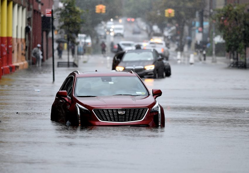
Slow-moving storms erupted first in the NYC suburbs mid-afternoon Monday before converging on the city early in the evening. The storms produced torrential rainfall rates up to 2″/hr (50 mm/hr), overwhelming drainage systems across the region. Central Park in Manhattan shattered a daily record with 2.64″ (67 mm). Most of this fell between 7-8 pm, the second-wettest hour ever recorded at that station. Other nearby stations saw as much as 3-6 inches (150 mm).


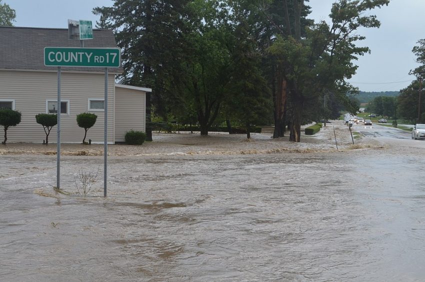
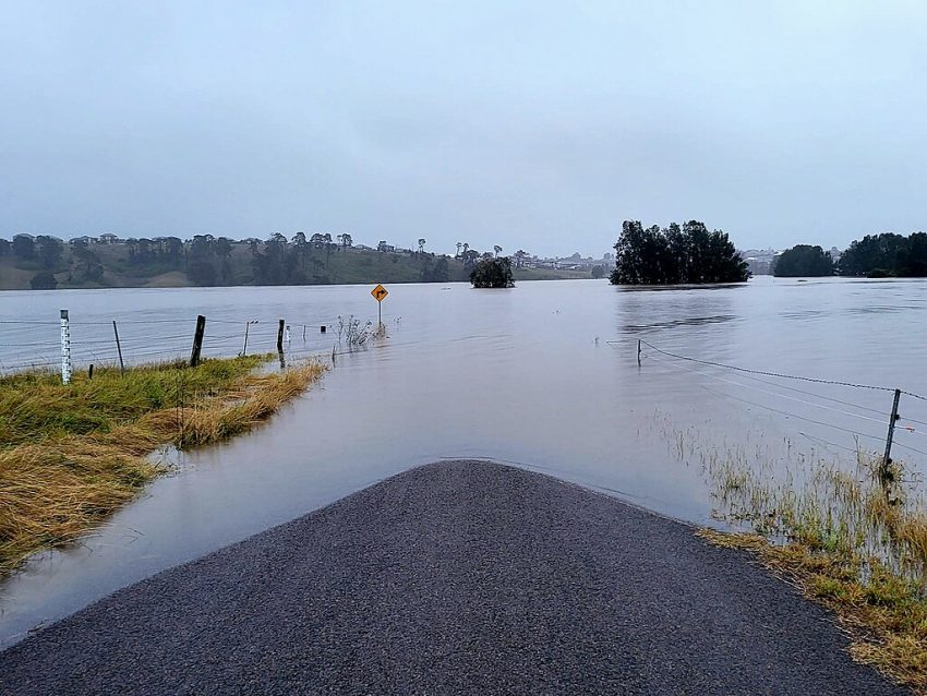
Runoff quickly covered roads and highways with 1-2 feet of water, forcing numerous road and highway closures. Hundreds of emergency calls were placed for water rescues from stranded cars. Subway lines were shut down as the runoff inundated platforms and tracks (see video above). Residents of basement apartments in NYC had to deal with sudden waist-deep water. Protocol changes following the tragic basement drownings in September 2021 seem to have helped avoid similar injuries and deaths in this case, fortunately. Lead photo courtesy MTA’s Marc Hermann.


Torrential Rainfall Leads to Sudden Flash Flood, Killing Dozens in Texas


A stationary storm dropped up to a foot of rain in a matter of hours overnight Thursday in central Texas. Runoff from these rains forced the Guadalupe River to rise 26 feet (7 m) in approximately 45 minutes (see river gage data below). Communities and camps along the river were inundated too quickly for an evacuation to be organized. Hundreds of people were caught and swept away by the the floodwaters. Unfortunately two dozen fatalities have been reported with dozens more still missing.


Much of the worst flooding has occurred near Kerrville, Texas, where the Guadalupe River rose to its second-highest peak on record. Hundreds of first responders have been called to the scene from across the state, including at least 14 search-and-rescue helicopters. Many of those still missing were attending Camp Mystic, an all-girls summer camp. Some of the campers and staff have been pulled from cars, unmoored structures, even clinging to trees above the floodwaters, but 23 are still unaccounted for as of Friday night.

Unprecedented Flooding Wreaks Havoc Along New South Wales Coast


A torrential rain band has persisted along the north-central NSW coast for the past several days as an upper low remains parked over the region. This rain band has dropped widespread 300-500 mm (12-20 in) amounts, leading to tremendous runoff and severe flooding. Some rivers are reaching levels never before recorded, inundating numerous homes and businesses and forcing thousands to evacuate.


The rain band developed early Monday and has been wobbling slowly up and down the coast between roughly Newcastle and Coff’s Harbour. Rainfall rates within this band are exceeding 30-40 mm/hr (1.2-1.6 in/hr) with some locations seeing many hours of such rates. The highest storm total thus far seems to have been reported at Mt. Seaview with 593 mm (23.3 in). However, almost all stations in the region have seen at least 300-500 mm. These copious rains over such a widespread area have completely overwhelmed drainage systems.


Streams and rivers are spilling out of their banks and flooding or cutting off entire towns. The Manning River shattered a record level that had stood for almost 100 years. Emergency services have responded to hundreds of car and home rescue calls. Some residents have been forced to retreat to their rooftops to escape the floodwaters. The threat for at least localized heavy rains will continue through Thursday before waning Thursday night. Lead photo courtesy Wikipedia contributor Qumarchi.


Deadly Tornadoes & Flooding Pummel the Midwest and Mid-South U.S.


Multiple upper level disturbances have been moving along a stationary front from the Mid-South into the Midwest in the past several days. The strongest trough brought destructive storms from Texas to Ohio on Wednesday with over 800 reports of high winds, giant hail, and tornadoes. Subsequent waves have been somewhat less intense in terms of severe storms. However, days of torrential rainfall are starting to push streams and rivers into major if not historic flood levels.


More than 60 tornado reports were reported to National Weather Service offices on Wednesday from southwest Arkansas all the way up to southern Michigan. The strongest twister may have hit Lake City, Arkansas (see video and damage pictures above). An EF-3 rated monster packing winds up to 150 mph (240 kph), the tornado leveled numerous homes and businesses. Massive hail up to 2.75 inches (7 cm) and non-tornadic wind gusts to 100 mph (160 kph) also caused severe damage.


Fewer reports of severe storms have been received in the ensuing days. However, slow-moving, training storms have been dumping tremendous rainfall across the region. Amounts of 6-10 inches (150-250 mm) have been recorded over a very large area with localized totals over a foot (see rainfall map above). This overwhelming surplus of water has already pushed streams and smaller rivers to major flood levels with some threatening all-time records. Larger rivers like the Mississippi will likewise exceed major flood stages in the coming days as the water moves downstream (see forecast gauge map above with purple representing major flood status). Whole communities will be cut off if not entirely inundated. At least sixteen lives have been claimed so far by the severe storms and flooding of the past several days.