Queensland Residents Still Recovering One Year After Cyclone Debbie
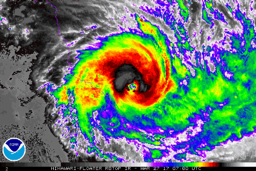
Severe Cyclone Debbie struck the central coast of Queensland one year ago today. At landfall, early in the afternoon on 28-March near Airlie Beach, it was a strong category four storm. It produced significant wind damage thanks to wind gusts as high as 263 kph, especially on Hamilton and Whitsunday Islands.
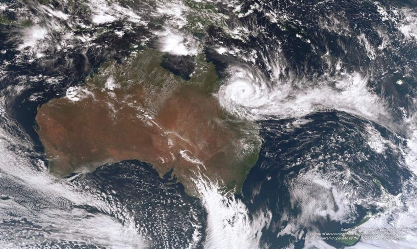
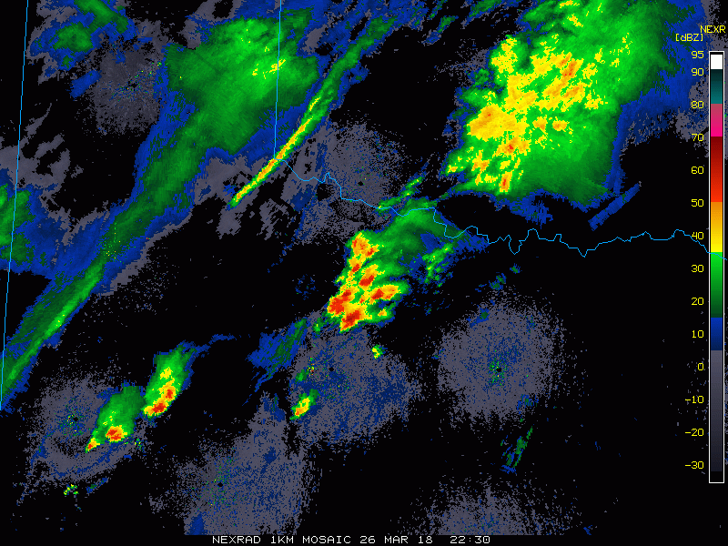
But the most widespread and lasting impact was from the record-shattering rainfall and resultant flooding. You can see in the satellite image above the extensive cloud train connecting Debbie with tropical waters to the east. More than 60 weather observing stations had monthly rainfall records broken. In some cases the old records were more than doubled! Rainfall totals exceeding 1,000 mm were common in an area that only receives up to 2,000 mm annually on average. The big winner was Plane Creek Sugar Mill, just south of Mackay. That station reported an astonishing 1.3 meters of rain!
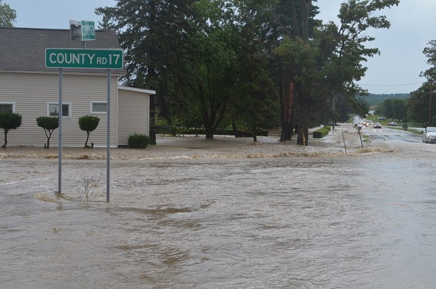
The deluge quickly sent many rivers and streams far over their banks, overloading dams and prompting wide-ranging evacuations. Transportation was shut down in many locations for days. The storm ended up costing almost two and a half billion dollars (almost $2 billion American) and fourteen lives.
The massive spike in insurance claims overwhelmed the region’s infrastructure. One year on, some families are still waiting on the backlog to clear up. Many structures remain damaged and uninhabitable, exposed to further wear and tear by the elements. The slow response has prompted revisions to insurance claim processing in the hopes that victims of the next storm can receive the help they need more promptly.