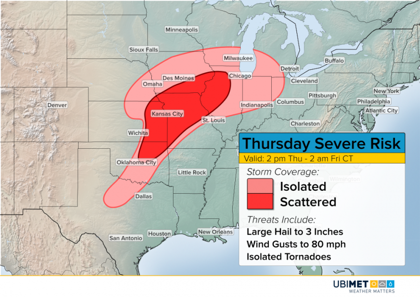
Another Round of Severe Storms on Thursday in the Plains!
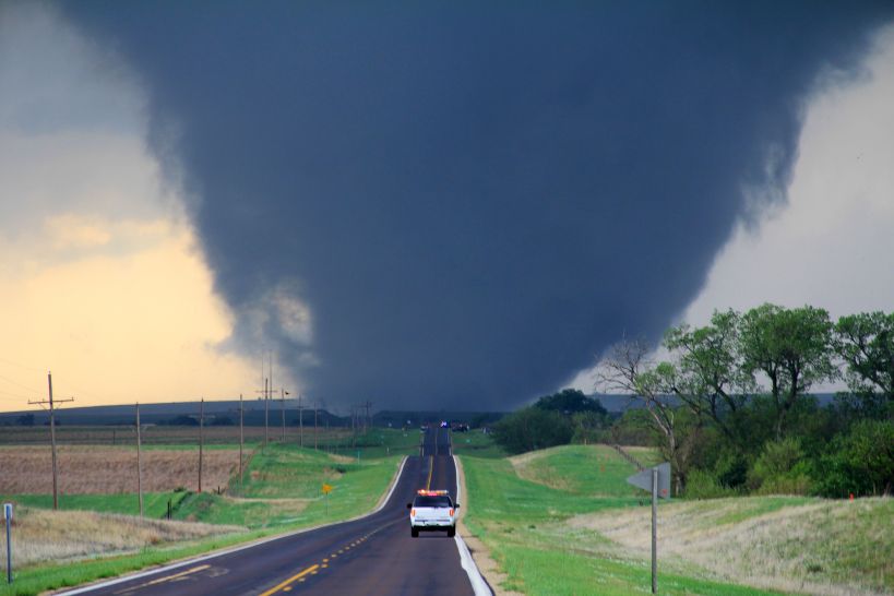
Tornadoes and destructive straight-line wind gusts exceeding 100 mph have slammed the Plains today. The system responsible for severe weather today isn’t going anywhere in a hurry! More high winds, large hail, and isolated tornadoes are expected for Thursday.
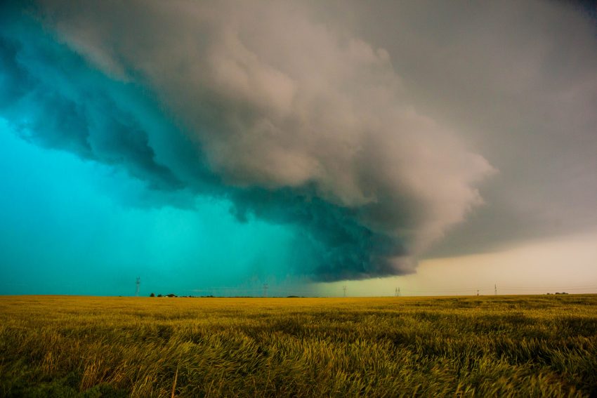
Wednesday night’s storms will weaken into early Thursday morning, but could still produce some locally heavy rain and lightning from central Texas into the Ozarks and the Mid-Mississippi Valley. Daytime heating will help build instability by early afternoon. Upper-level winds will remain quite strong. The combination of instability and shear will lead to severe storms building by mid-afternoon.
The greatest risk for severe storms is expected from northeast Oklahoma into eastern Kansas, Missouri, southeast Iowa, and northwest Illinois. A more isolated or marginal risk of severe storms will extend down into north Texas and north and east into the Midwest. Large hail up to three inches in diameter, destructive wind gusts to 80 mph, and isolated tornadoes will occur well into Thursday night.