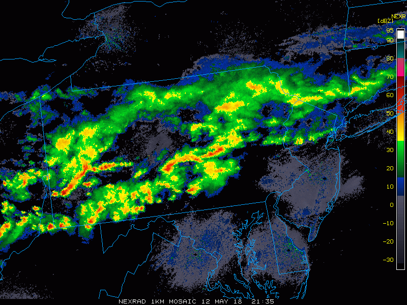
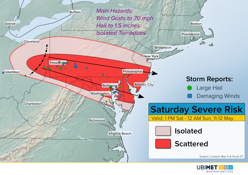
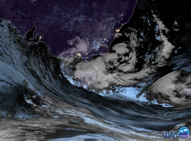
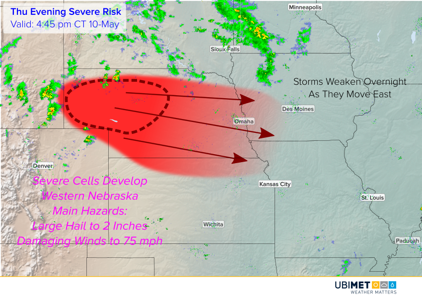
A strong, cold, winter-like storm is moving across southeast Australia, bringing chilly southerly winds, heavy rain, and even some mountain snows.
Friday afternoon highs in the Melbourne metro are struggling to reach 13-14 deg, the second day in a row of temperatures more typical of June or July. The cool temperatures are accompanied by southerly winds gusting 40-60 kph in the city, and 60-90 kph along the coast to the south. They’ve also seen periods of moderate to heavy rain with totals of 20-40 mm in the past 24-36 hours.
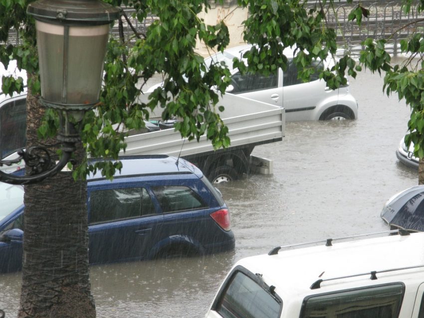
Conditions have been harsher over other parts of Victoria and Tasmania. Hobart has seen record-threatening rainfall amounts of 100-150 mm in the last few days, along with persistent south to southeast winds pushing ocean water onshore (see tweet below). Damaging winds are affecting mountainous areas of Victoria with gusts to 133 kph at Mt. William. The Victorian Alps are also seeing heavy, wet snow.
The storm will move slowly off to the southeast in the next few days, but heavy winds and rains could linger along the coast for the next day or two.