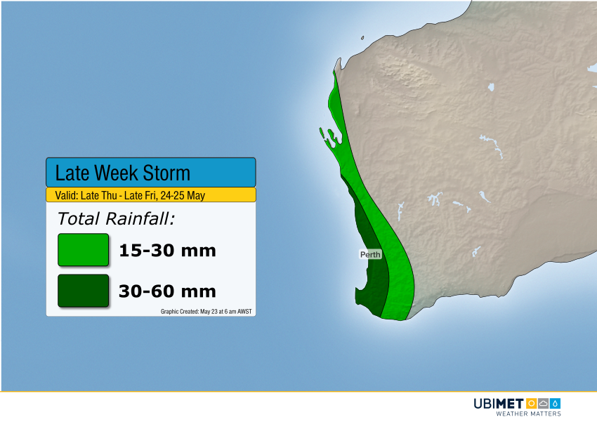
UPDATE: Major Storm Still on Track to Slam Western Australia Late This Week!
Today’s model guidance and satellite trends continue to suggest significant heavy rains and winds are heading for western and southern WA starting Thursday. Expect strong thunderstorms to move in late Thursday afternoon into the overnight which will carry the bulk of the rainfall as well as lightning, damaging hail, and enhanced winds.
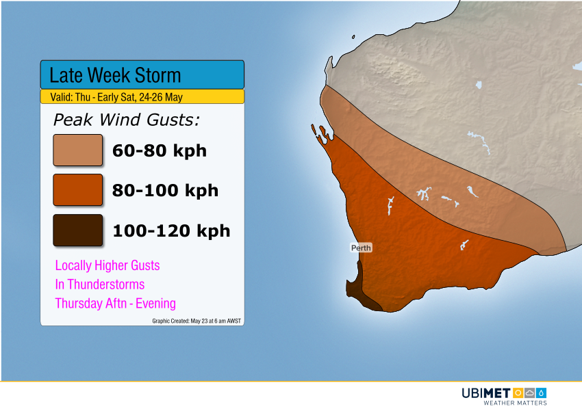
Strong high pressure has been nearly stationary over the Bight for the past week or more. However, a large, strong trough will finally push the high pressure east. This trough and the associated surface front will approach the coast Thursday and move inland by Friday. Wind gusts of 60-80 kph will be common, with higher gusts to 100 kph probable for wind prone locations along the southwest coast, potentially including the Perth metro area. The Capes will see the highest gusts of 100-120 kph.
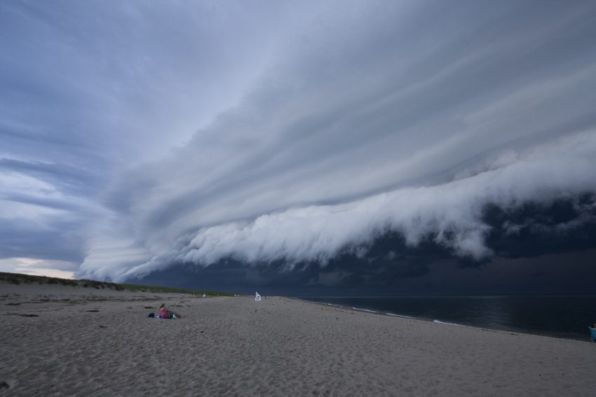
Most of the heavy rainfall will occur with the storms along the cool front Thursday afternoon into early Friday. Rainfall rates could be 30-40 mm / 3 hours in this time frame. Considering the Perth airport hasn’t recorded more than 10 mm of rain in one day since January 16th, rainfall rates of that magnitude will likely lead to some localized flooding. We’ll have more updates as needed in the next few days. Lead photo courtesy flickr contributor Anthony Quintano.