Forecasters with the Climate Prediction Center (CPC) have issued an El Nino Watch for later this year. They predict a 50% chance of El Nino development by the fall, ramping up to 65% by the winter.
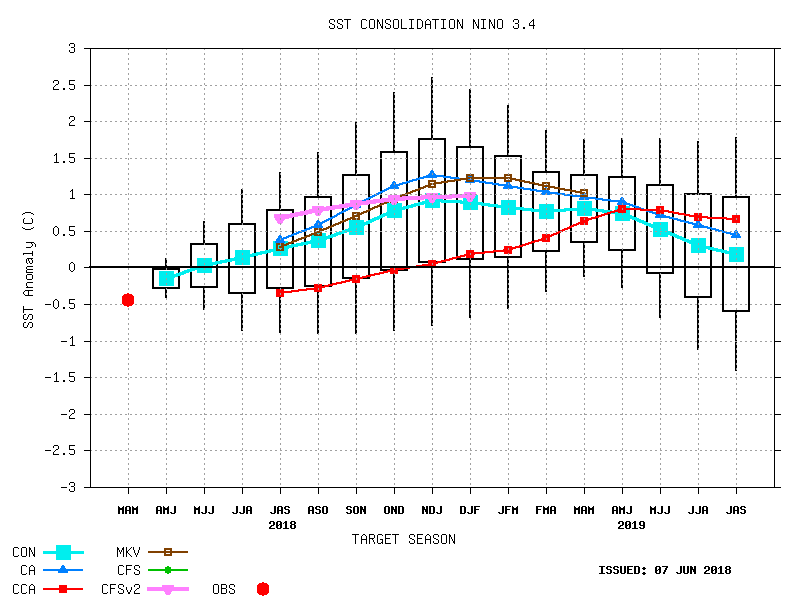
El Nino is the positive or warm phase of the El Nino-Southern Oscillation (ENSO). ENSO is a fluctuation in sea surface temperature anomalies in the Pacific which have well-recognized impacts on global weather patterns. Model guidance has continued to come into better agreement about the progression from the current ENSO-neutral conditions to an El Nino. The graph below shows ENSO forecast values, with +1 considered the threshold for declaring an El Nino status. As you can see, threshold values are threatened within a few months of the new year.
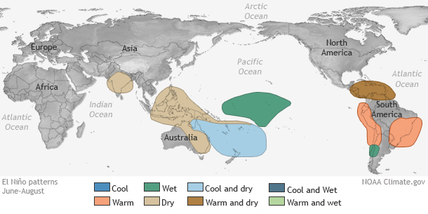
The most significant impacts from El Nino tend to occur during the winter months in the Northern Hemisphere. However, there are warm season patterns associated with the El Nino, even a relatively minor event like the one reflected by the forecast values shown above. The graphic below shows typical warm-season influences on the weather from El Nino. The warm, dry pattern in the Caribbean is correlated with decreased tropical cyclone activity in the Atlantic basin during El Nino conditions. The El Nino phase is typically associated with stronger upper-level winds across the Atlantic basin which tend to disrupt and deter cyclone development.
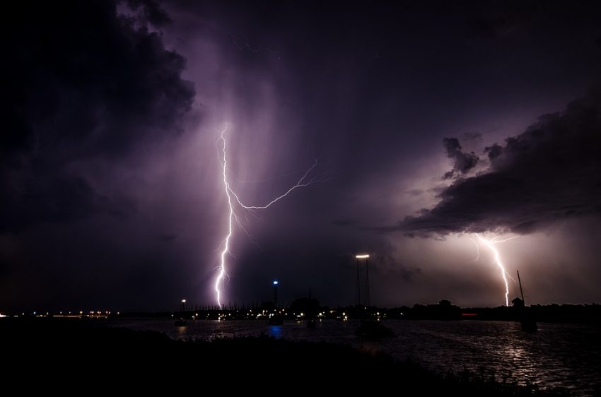
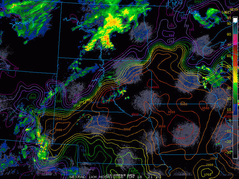
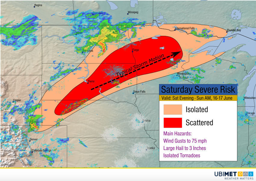
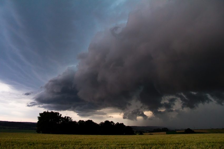
Meteorologists have responded to El Nino forecasts in the last several weeks by issuing new tropical season forecasts. In April the consensus expectation was for an above-normal tropical storm season in the Atlantic. However, recent updates predict a more average or normal season. Residents of the US East and Gulf coasts as well as Central America shouldn’t breathe easy just yet, though. Some of the most infamous hurricane strikes of past years, like Hugo and Andrew, occurred in otherwise quiet El Nino-suppressed seasons. Lead photo courtesy Pixabay contributor inspirexpressmiami.