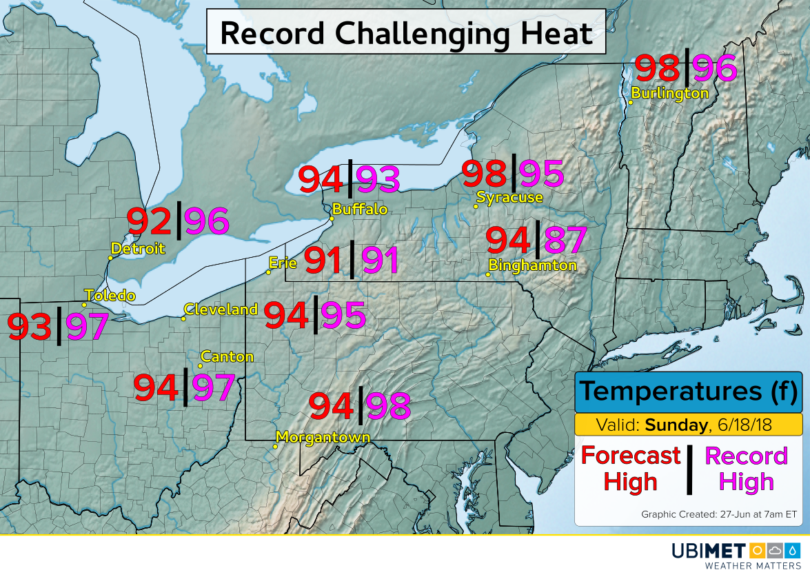
UPDATE: Severe Storms Imminent Over the Northern Plains!
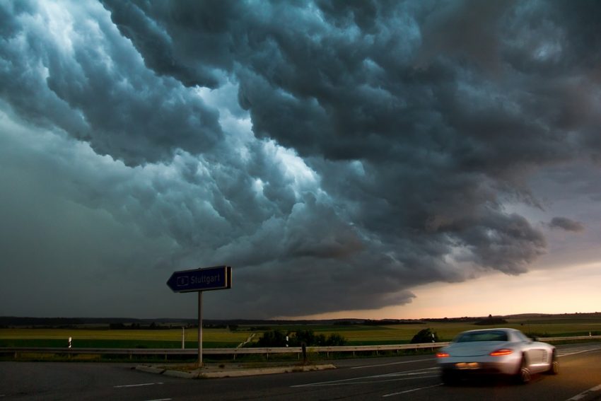
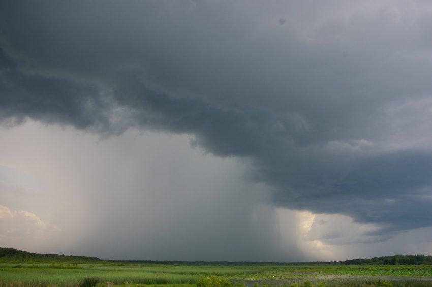
The ingredients are in place for a big-time severe storm outbreak starting late this afternoon in the Northern Plains. Gigantic hail up to 4-5 inches (10-13 cm), isolated tornadoes, and destructive winds to 80 mph (130 kph) will occur!
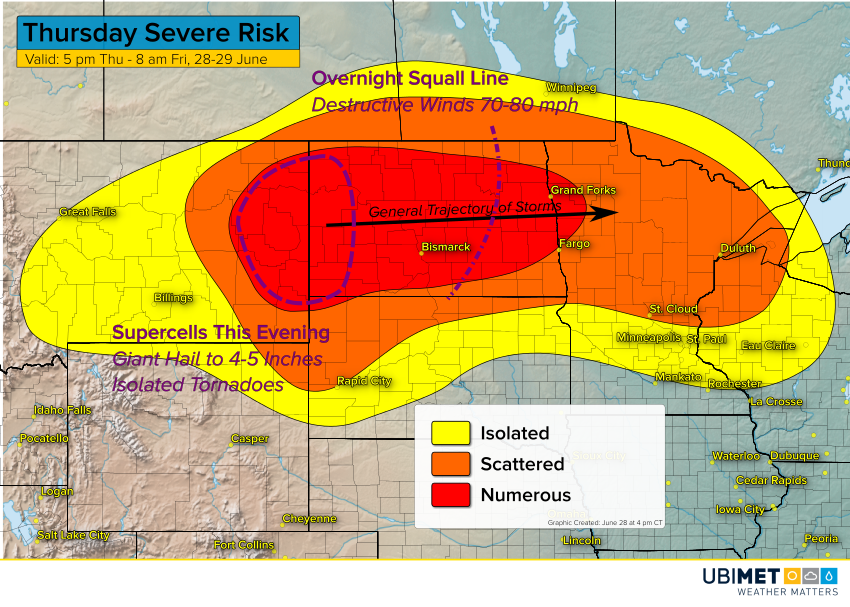
As of the time of this writing, extreme instability has built over the region. For the weather nerds reading this, surface-based CAPE values are near 8,000 j/kg, numbers very rarely seen. Plenty of upper level wind energy (shear of 50-65 knots) is riding the jet stream overhead, ready to tap into the explosive instability. Severe cells have already broken out over northern Minnesota. However, the real monster supercells will develop back over eastern Montana and western North Dakota. The best chance for giant hail and tornadoes will be this evening in this area. By mid to late evening, the supercells could converge to produce a destructive squall line with widespread winds through North Dakota and into northern Minnesota on Friday morning. The squall line may slowly weaken through sunrise on Friday, but we can’t rule out severe chances even this late in the event.
Please stay tuned to your local emergency broadcast system in case severe storms threaten your neighborhood! Severe storms are particularly dangerous at night when visibility is low.