Funnel Cloud Passes Over NYC On Tuesday
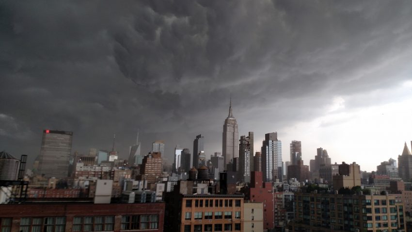
A line of gusty thunderstorms crossed the Northeast on Tuesday and brought heavy rain, strong winds, and a funnel cloud siting in NYC.
Video and photographic content of the funnel cloud started popping up on social media around 3pm ET. Based on social media content and radar data, the funnel cloud likely formed over the New York harbor and then tracked eastward into Brooklyn.
NYC News Funnel Cloud Forms Over the New York Harbor https://t.co/xGxIQhp19Z pic.twitter.com/IDyW5DzE0T
— NYC NewsChannel (@NYC_NC) July 17, 2018
Funnel cloud over Brooklyn! Video courtesy @michaeluturn pic.twitter.com/KVhPe87bJU
— Lee Goldberg (@LeeGoldbergABC7) July 17, 2018
There is no indication that the funnel cloud ever touched the ground over NYC, consequently, no tornado was observed.
The most damaging storms were concentrated across New England. Numerous reports of downed trees and power lines were observed across New Hampshire, Massachusetts, and parts of Connecticut.
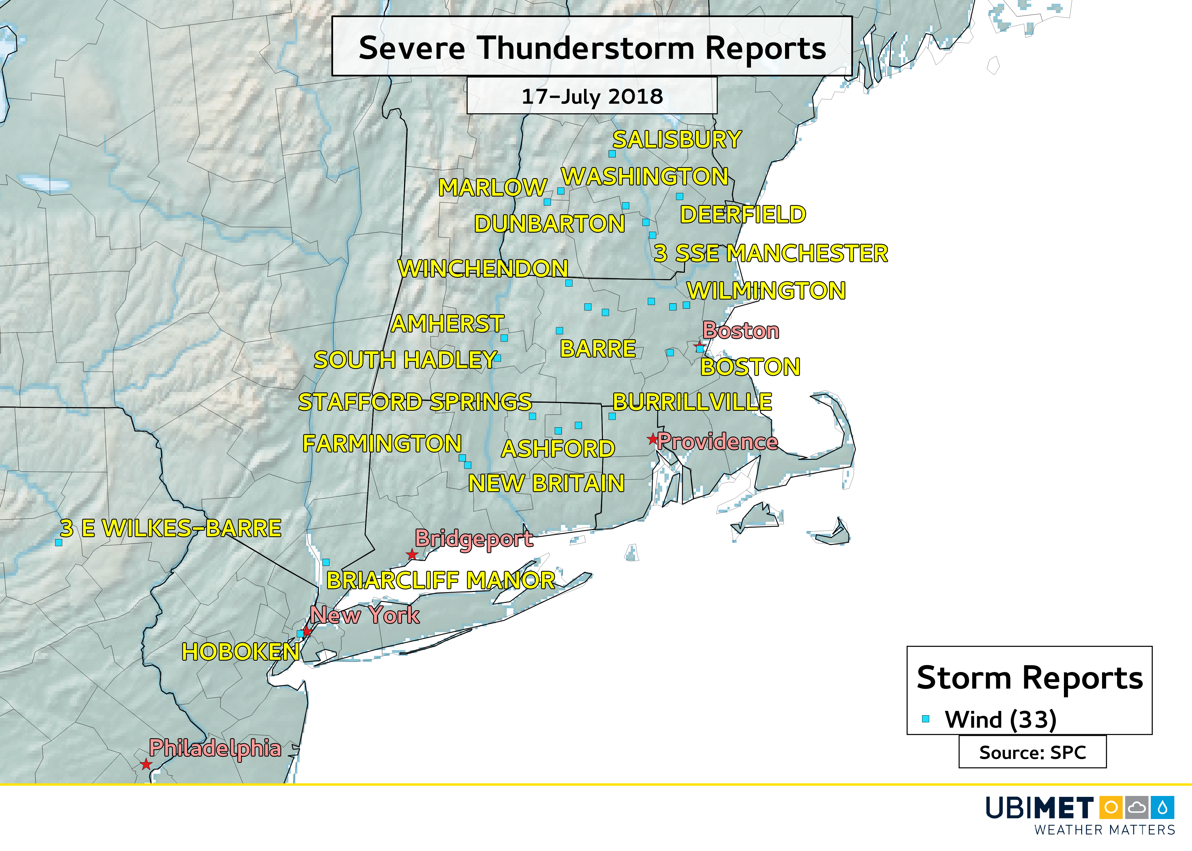
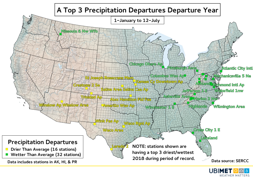
In addition to the wind, heavy rain and flash flooding were also observed in some areas of the Mid-Atlantic and Northeast. New York City’s Central Park picked up over 2 inches (50 mm) of rain in 3 hours, while 3-4 inches (75-100 mm) of rain fell along the central New Jersey coast.
The thunderstorms developed along and ahead of a cold front that pushed through the region. A drier and more seasonable air mass will encompass the Northeast for the rest of the week.