Severe Weather, Tornadoes, Targeted Iowa on Thursday
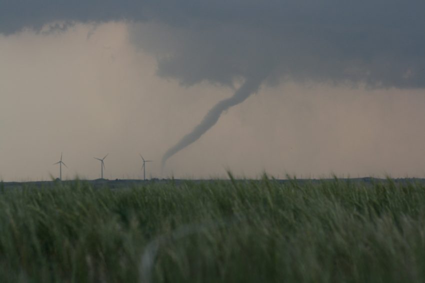
Supercell thunderstorms erupted across Iowa Thursday afternoon triggering multiple tornado sightings.
One of the strongest thunderstorm cells produced a tornado that ripped through the city of Marshalltown, Iowa.
Terrifying video from Marshalltown, IA shows part the town’s courthouse collapsing as the tornado moved directly through town. Video by @tfinders34 pic.twitter.com/d0dJ1gmHBG
— Tornado Trackers (@tornadotrackers) July 19, 2018
A second severe thunderstorm produced two tornadoes simultaneously near the town of Altoona, which sits just a few miles northeast of the state capital, Des Moines.
WOW! Twin tornadoes that eventually did touch down earlier this afternoon near Altoona, Iowa. Video courtesy of Hammy Menssen. #Tornado #IAwx pic.twitter.com/ddaCflfpUC
— Mark Tarello (@mark_tarello) July 19, 2018
This dangerous storm continued southeast and left behind a trail of damaged and destroyed buildings.
Tornado’s aftermath: Vehicles flipped over and piled on top of one another in the parking lot of a central Iowa company where several people were injured as severe weather made its way across the region earlier today. https://t.co/axPMGgW1Ip pic.twitter.com/R769bSV7Zg
— ABC News (@ABC) July 20, 2018
The map below indicates all of the tornado reports that the National Weather Service received from Iowa on Thursday. The several clusters of reports on the map are likely reports from the same tornado producing thunderstorm.
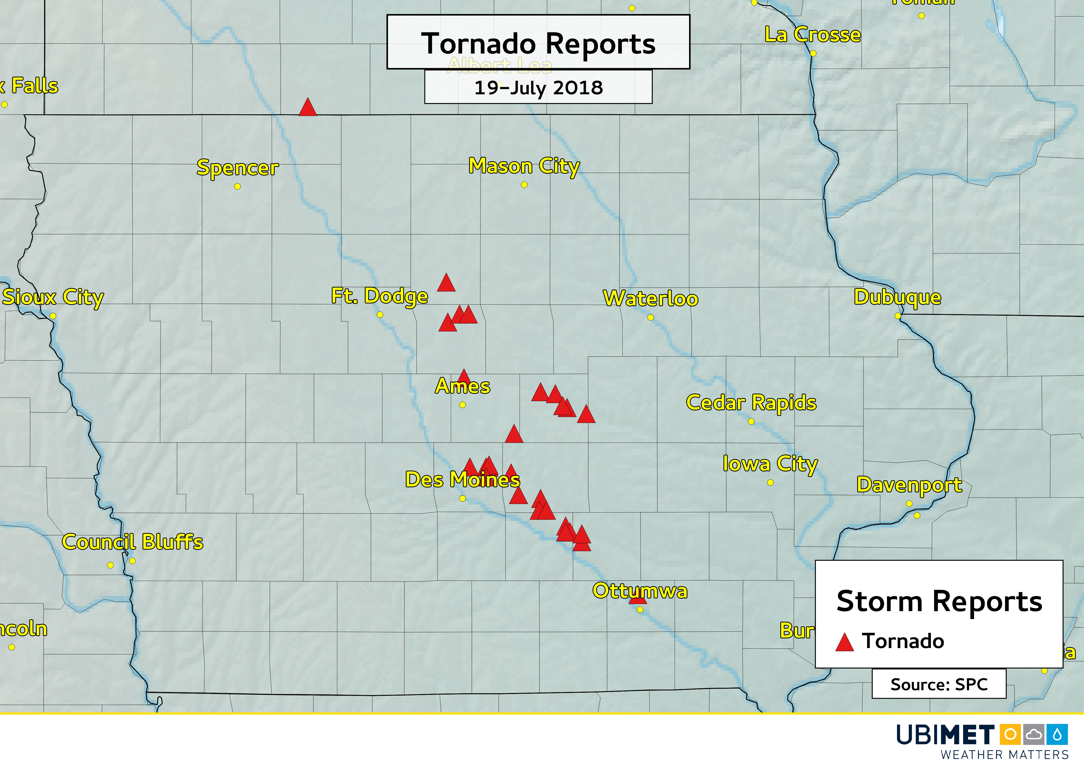
It will likely take several days to confirm the number of tornadoes across Iowa on Thursday, but Ubimet meteorologists estimate that at least 3 or 4 tornadoes will be confirmed.