Double Typhoon Threat for East Asia This Week!
Two strong cyclones are churning through the western Pacific today. Typhoon Soulik and Typhoon Cimaron will be headline-making storms in Korea and Japan later this week.
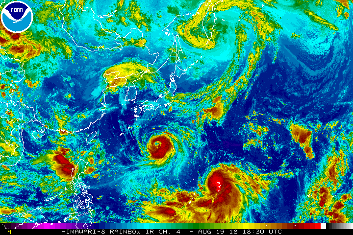
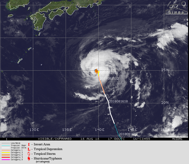
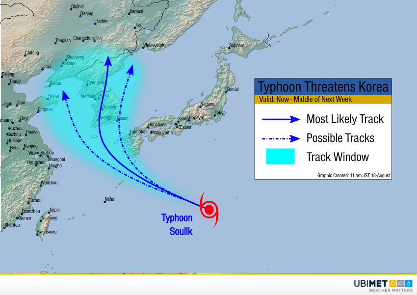
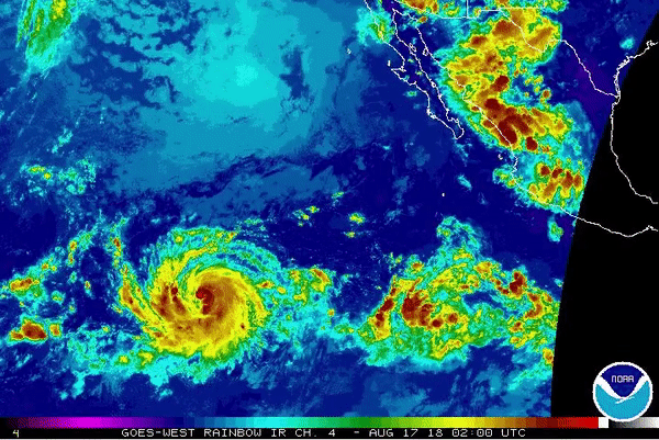
Soulik has weakened a bit since yesterday, but still boasts sustained winds up to 175 kph. It continues to move west-northwest over warm ocean waters. Soulik will maintain about the same intensity as it moves just south of the island of Kyushu by the middle of the week. A larger trough approaching from the west will turn the cyclone north towards southern South Korea. Landfall will likely occur late Wednesday into Thursday. After that, Soulik will travel up the spine of the Korean peninsula. Heavy, flooding rains will be the widespread threat, especially where terrain enhances runoff. Damaging winds and a moderate storm surge will also be threats along the south coast.
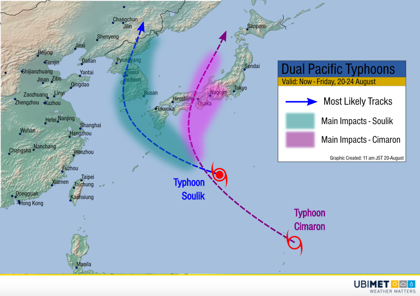
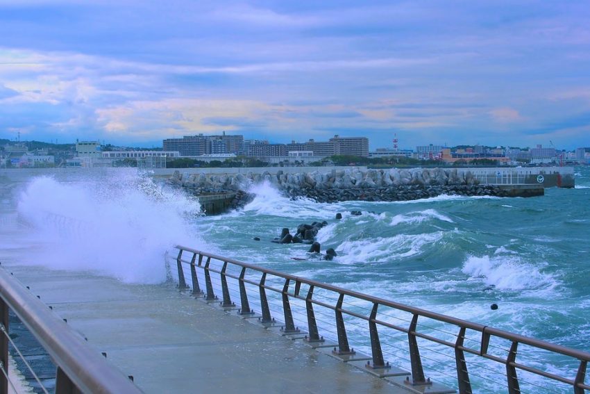
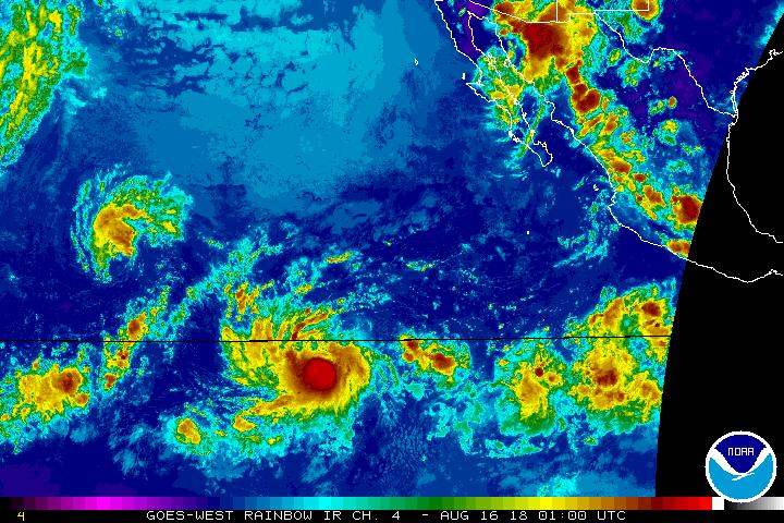
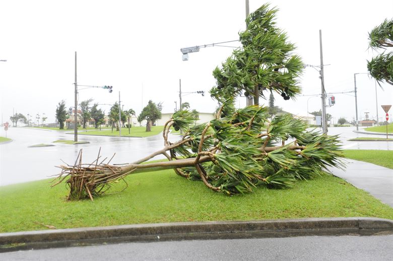
Cimaron was just upgraded to typhoon intensity. Steady intensification will continue over the next few days as it moves northwest. By Wednesday, Cimaron could be passing over the same area of ocean now under Soulik’s circulation. Cooler water churned up by Soulik could mean a less favorable environment for Cimaron, capping the potential strength as it approaches southern Japan. However, Cimaron could still have dangerous impacts to some of Japan’s major population centers like Osaka and Nagoya. High winds and flooding rainfall are likely near the track. Lead photo by Airman 1st Class John Linzmeier, USAF.