High Cyclone Potential in the Gulf of Carpentaria This Week!
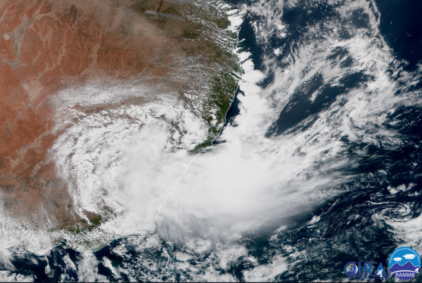
The remnants of former Cyclone Owen have been drifting west over the past several days. The system is now entering the very warm waters of the Gulf of Carpentaria. Analysis indicates that conditions are favorable for rapid reintensification. By Friday, a major cyclone could be menacing the Cape York peninsula!
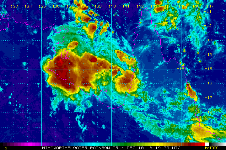
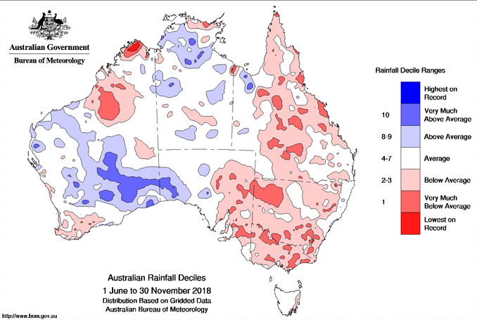
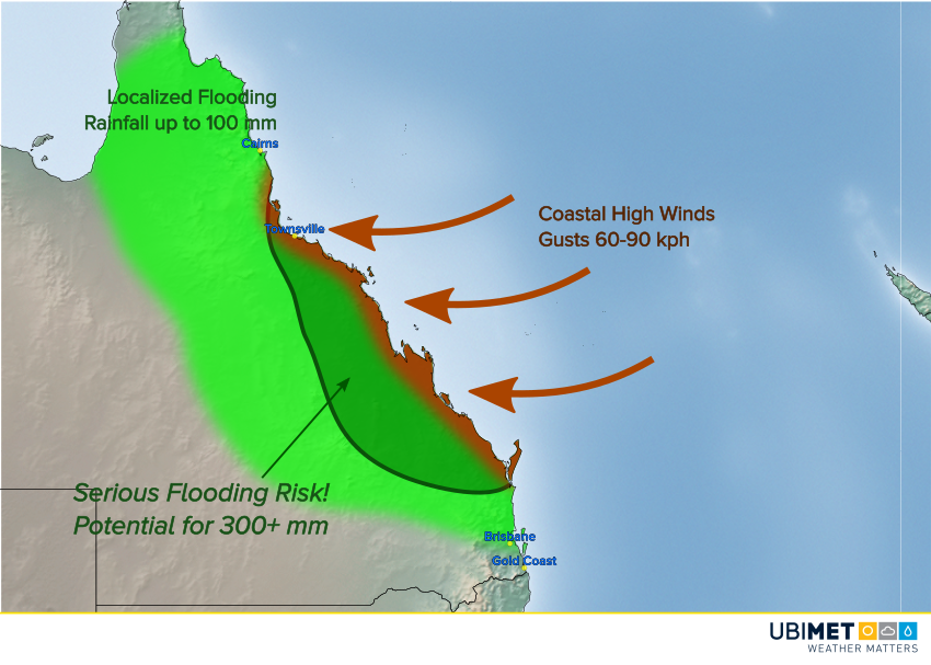
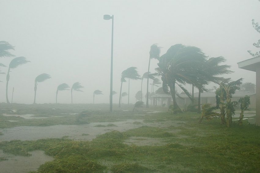
The remnant tropical low has been producing torrential rainfall over parts of coastal Queensland over the past several days. Some stations have totaled up to 300 mm since this past weekend. The low is now entering the Gulf of Carpentaria, where water temperatures are running about 30-32 deg C, plenty warm enough to serve as explosive cyclone fuel. We expect the storm to intensify Tuesday into Wednesday as it starts to turn back towards the east-southeast. By Friday, Owen could be up to category three cyclone status, capable of destructive wind gusts exceeding 150 kph.
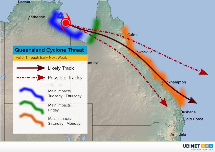
The track late this week through the weekend is less certain. Some of the more recent model runs indicate the storm could hug the eastern QLD coast into Sunday and Monday. Needless to say, that would mean a long-ranging threat for damaging winds and flooding rains. We’ll keep an eye on the forecast guidance and issue updates as needed.