Oppressive Heat Wave Heralds the New Year Down Under
Much of Australia is baking under a stubborn ridge of high pressure as the calendar turns to 2019. High temperatures will continue to reach well up into the 40s over the interior, not uncommon for the middle of summer. However, this heat will creep into the major coastal cities as well in the next few days, creating a dangerous heat stroke risk for the dense urban population centers.
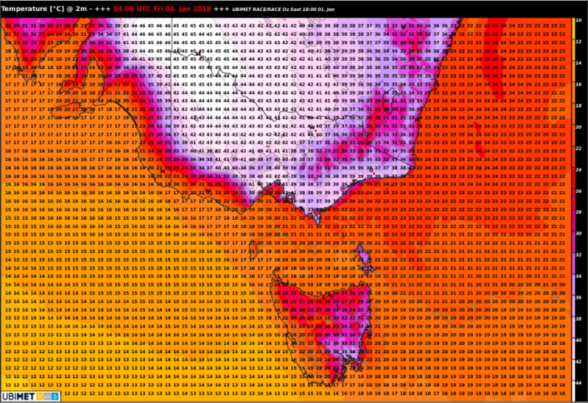
Hot, dry air will invade much of Victoria on Friday, including the Melbourne metro area (see map above). Northerly winds off the interior deserts will push temperatures above 40 degrees in the city. These will likely be the warmest temperatures there since January 2018. In fact, Melbourne averages only about one day above 40 degrees all year. Fortunately, this extreme heat won’t overstay its welcome. By this weekend, look for highs near normal in the 20s around Melbourne thanks to onshore winds.
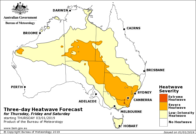
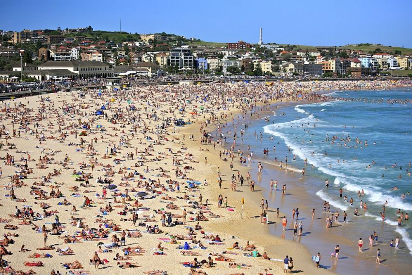
Much above average temperatures are dominating New South Wales, as well. The map above shows the potential for an official heatwave (extreme temperatures for three consecutive days) to end the week. Melbourne is excluded from the higher categories only because the dangerous heat there will be limited to Friday. The capital of Canberra has seen high temperatures above 30 degrees for the past nine days. Little relief is expected in the next several days, potentially not until early next week. The capital hasn’t seen a streak of 13 days above 30 degrees since January 2017. Sydney will see hot temps, too, especially on Saturday when highs will reach the mid-30s. Lead photo courtesy flickr contributor Alex Proimos.