Typhoon Lekima Skirts the Ryukyu Islands, Now Targeting Shanghai!
Powerful Typhoon Lekima developed rapidly earlier this week, peaking at category four status yesterday with winds to 200 kph. Around that time, the typhoon passed close to Ishikagi, an island in the Ryukyu group. Reports of wind gusts up to 160 kph were received. The typhoon is now moving northwest over the South China Sea. Coastal China will suffer a landfall in the next day or so with the megalopolis of Shanghai seeing heavy impacts Saturday!
The trochoidal motion of the eye of Typhoon #Lekima gets more interesting toward the end of this 24-hour animation of 2.5-minute rapid scan #Himawari8 Infrared imagery: https://t.co/BkLqiMIXjM pic.twitter.com/6jaEKGGdS1
— Scott Bachmeier (@CIMSS_Satellite) August 8, 2019
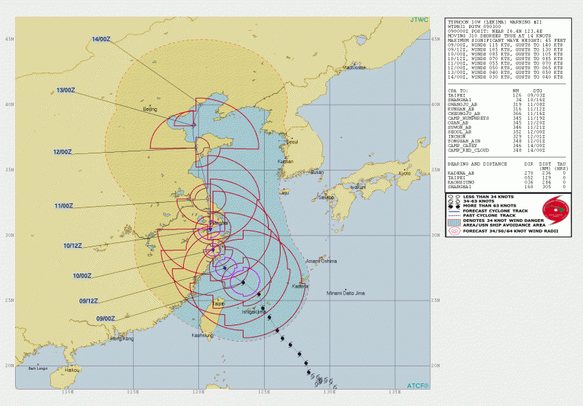
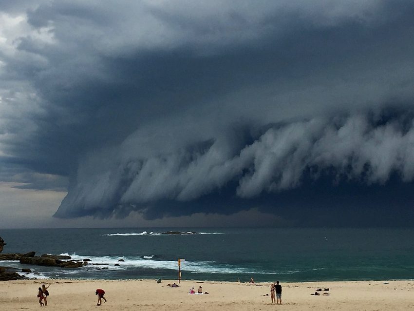
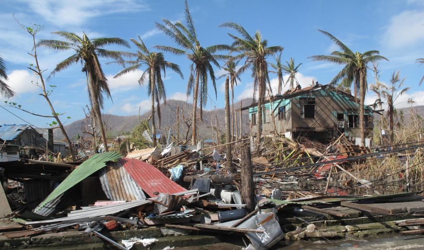
Some dry air has begun to corrode the cyclone, disrupting the eye and resulting in some weakening. However, conditions remain favorable for a severe typhoon to move close to the coast of China by Saturday morning. Flooding rains, destructive winds, and a deadly storm surge will accompany the storm. The city of Shanghai, the most populous city in the world (pop: 26,000,000+), will see the worst of the storm on Saturday. By the time the typhoon approaches, it should be significantly weaker. However, major impacts are still likely. Lead photo courtesy the UK Dept for International Development.
Sudden powerful gusts hitting then calm, then bam, another powerful gust – super #typhoon #Lekima #Japan #Ishigaki pic.twitter.com/STkWeV0VvR
— James Reynolds (@EarthUncutTV) August 8, 2019