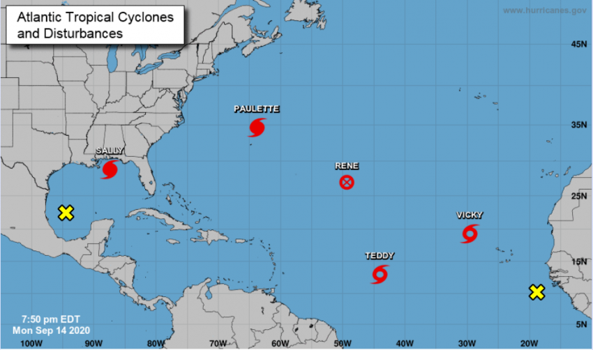
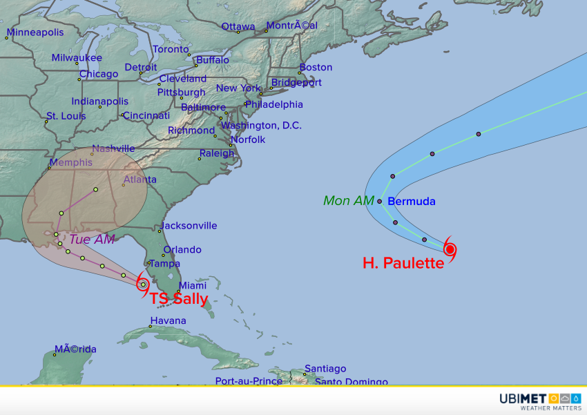
Hurricane Sally Slams Into Gulf Coast, Bringing Damaging Winds and Historic Flooding
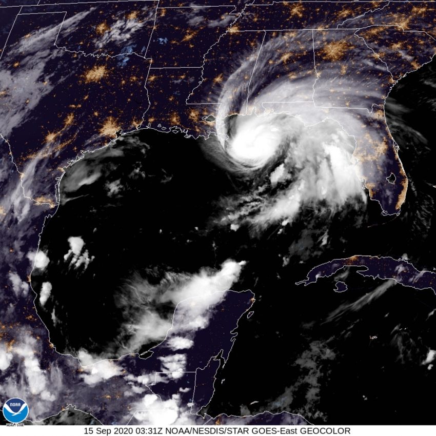
Sally finally came ashore on Wednesday morning near Gulf Shores, Alabama after hovering near the coast for the better part of two days. At landfall, Sally was a Category Two on the Saffir-Simpson scale with sustained winds of 105 mph (170 kph). Sally has weakened significantly as it moves further inland through the Southeast. However, serious flash flooding will continue to be an issue as the cyclone approaches the Carolinas.
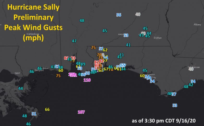
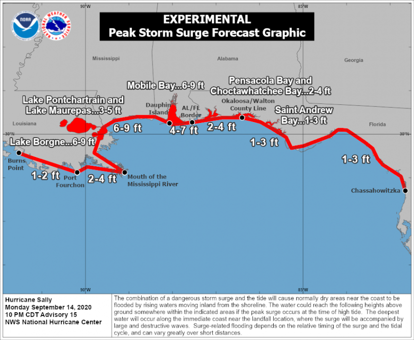
Sally produced severe wind and tidal surge damage over portions of southern Alabama and the Florida panhandle (see tweets below). The barrier islands in southern Alabama were particularly hard-hit with gusts well over 100 mph (160 kph). The marina on Dauphin Island was almost completely destroyed. A larger region of southern Alabama and adjacent Florida saw gusts in the 80-100 mph (130-160 kph) range (see map above), leading to numerous trees and powerlines down. Power outages in this area will likely last for days or weeks.
Downtown Pensacola is UNDERWATER @weatherchannel @NWSMobile @cityofpensacola #Hurricane #sally #Florida pic.twitter.com/P0xgBo4joD
— Chris Bruin (@TWCChrisBruin) September 16, 2020
Dauphin island damage. Photo from Scott Carpenter. @NWSMobile pic.twitter.com/xojMIE4b3Z
— Thomas Geboy (@ThomasGeboyWX) September 16, 2020
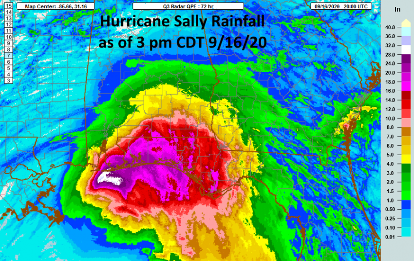
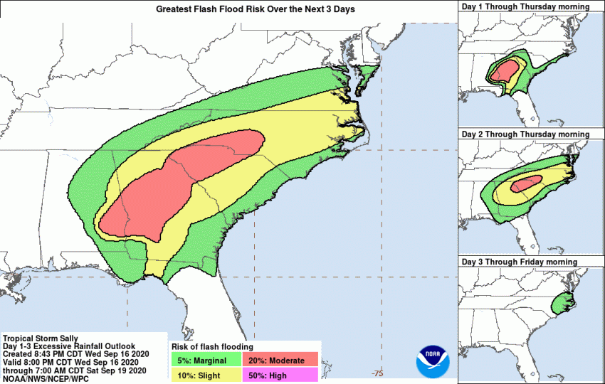
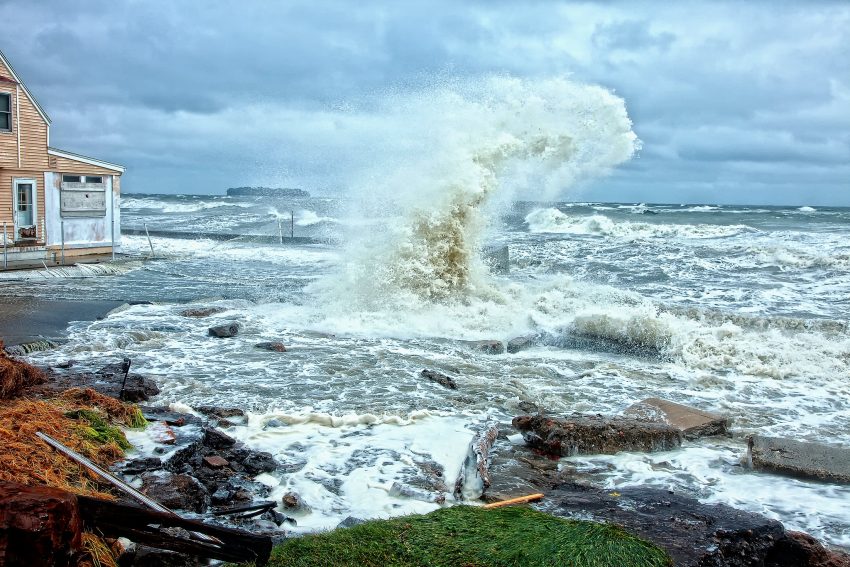
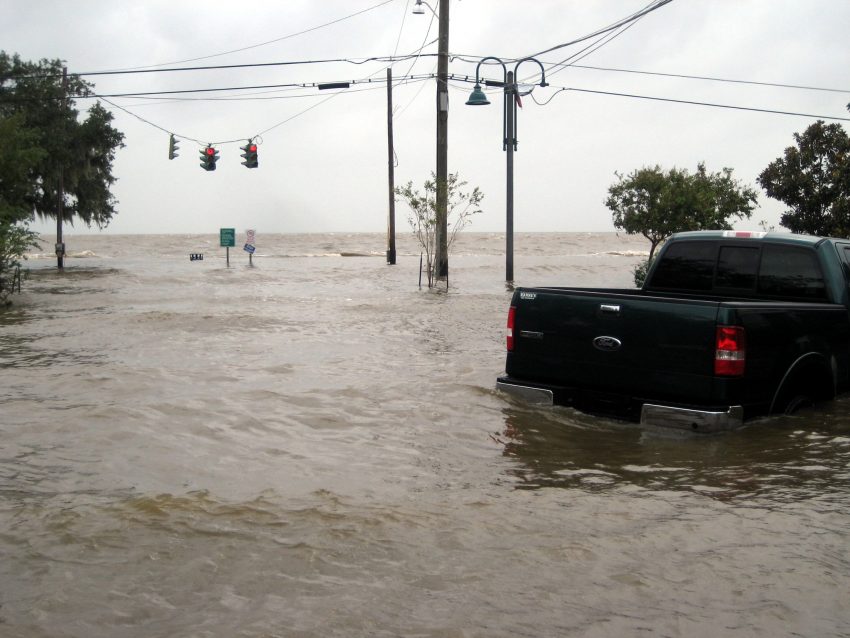
Sally is now a minimal tropical storm located over southeast Alabama. The cyclone is accelerating and will move into Georgia on Thursday. The main threat going forward will be freshwater flooding. The last few days have seen record rainfall along the Gulf Coast from southern Alabama into southwest Georgia and the Florida panhandle (see map above). Amounts of 18 inches (450 mm) or more were common with a few locations seeing 24-30 inches (610-760 mm)! With the storm weakening and picking up speed, those staggering rainfall amounts won’t be repeated further north. However, locations from central Georgia into the Piedmont of South and North Carolina could still have major issues. Totals of 3-6 inches (75-150 mm) will lead to significant flash flooding in spots (see map below). Streams and rivers will also be on the rise across the region over the coming days. Lead photo courtesy flickr user Tobin.