Record Heat Continues To Bake Western U.S.
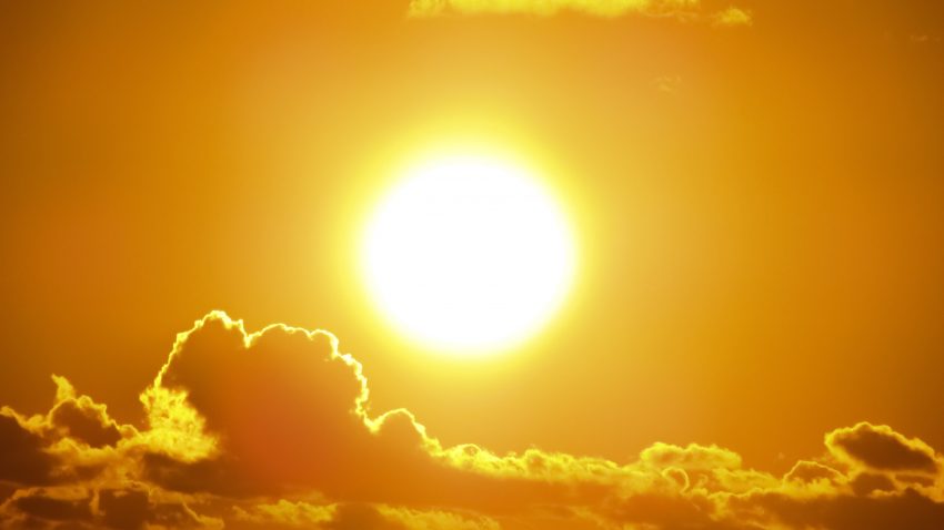
After a summer filled with scorching temps across the globe, the epicenter of heat has now shifted into the western half of the United States, with the state of California being particularly hit hard. While this region of the world is no stranger to heat, this current heatwave, which has been ongoing since late August, is proving to be exceptional, and in some cases unprecedented. It’s also coming on the heels of a very hot summer, in which many records were already broken. The fact that it is occurring during the month of September makes it even more astounding.
Today is the peak of California’s worst September heatwave ever recorded.
The number of locations recording 110°F+ is simply extraordinary.
Many major cities have experienced their hottest day ever recorded, including San Jose and Santa Rosa. pic.twitter.com/fnAKMN2TQ5
— Leslie Lee Bell (@LeslieLeeBell1) September 7, 2022
The numbers coming out of the region have truly been staggering. Not only are records for the month of September being obliterated, but so are all time records. The Central Valley of California has been the spot with the most broken records. Case in point, Sacramento, the state’s capital, saw the mercury rise to an all time high of 116 F (46.6 C) on Tuesday. This breaks the previous all time record high of 114 F (45.5 C) was set on July 17th, 1925. Nearby San Jose also set a new record for all time high, coming in at a stifling 109 F (42.7 C).
More all time records are falling across California during another historic heatwave including a staggering 117°F (47.2°C) in Fairfield.
We’re in a #ClimateEmergency. How many more ‘historics’ before we #ActOnClimate?#Climate #energy#ClimateCrisis #GreenNewDeal pic.twitter.com/syA2gtnP7N
— Mike Hudema (@MikeHudema) September 7, 2022
Shifting to another region of California, Death Valley, which already holds the record for all time highest temperature ever recorded on Earth (134 F, 56.6 C) has broken even more records. On 9/3, the low in Death Valley only dropped to 102 F (38.8 C), making it the highest minimum temperature ever recorded anywhere on Earth during the month of September. Yesterday the high was 125 F (51.6 C), which tied the all time record high for September, while today the high was 122 F (50 C), tying the daily record high set just last year. The first seven days of this month have featured highs at 120 F (48.8 C) or greater. This establishes a new record for September, with the most days reaching 120 F (48.8 C).
Extreme heat in California today (Tuesday). Sacramento hit 116ºF (46.7ºC), beating its all-time record of 114ºF (45.6ºC) from July 17, 1925. Death Valley’s Furnace Creek reached 125.2ºF (51.8ºC), just 0.4ºC below the September world record.
More details: https://t.co/Z0BHa3MeGn pic.twitter.com/0Bb7XuA1ZA
— Ben Domensino (@Ben_Domensino) September 7, 2022
And California is not alone in this heat. The state of Utah has also seen records smashed lately. Salt Lake City hit 107 F (40.5 C) on Wednesday, setting a record for the highest temp ever recorded in September, and tying its all time record high. This breaks the previous record of 105 F (41.6 C) set just on Tuesday. In fact, the city known for its proximity to great ski resorts, has topped the century mark 34 times this year. The most ever recorded.
Our Record Breaking Heat for Salt Lake City…take a look at how far these temperatures (red dots) are from climate averages (white dotted line). #UTwx pic.twitter.com/J8U2TFqRs1
— NWS Salt Lake City (@NWSSaltLakeCity) September 7, 2022
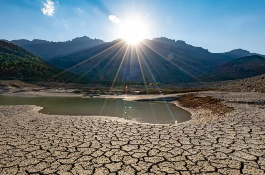
The culprit of this heat wave in the West, has been a stagnant area of high pressure known as a “Heat Dome”, centered over The Great Basin. It has worked in conjunction with the preexisting drought conditions, which have been in place for the better part of this century. The dry ground allows the air to heat much more efficiently, due to less evaporation. Both the heat and drought have set the stage for wildfires to become an increasingly common threat across the West. Another serious threat is rolling blackouts, however, they have not been too prevalent during this heatwave thus far. The good news is that the end of extreme heat is near. This is partly due to Hurricane Kay, currently off the Mexican coast. The storm is poised to move northward in the coming days, bringing clouds and rain to parts of California and Arizona.
Hurricane #Kay is expected to weaken as it heads North BUT it will be spreading moisture into parts of Southern CA. Looks like a breezy, wet and much cooler end to the week. We have the details on the @weatherchannel…9am-Noon ET! pic.twitter.com/fZWtiXCfGt
— Alex Wallace (@TWCAlexWallace) September 7, 2022