Major Hurricane Idalia Slams Southeastern US with Severe Flooding, Tornadoes
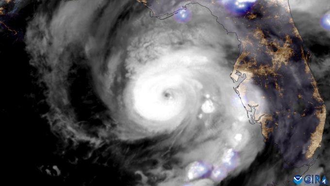
Idalia rapidly gained strength on Tuesday, becoming a major Category Four storm as it sliced north through the Gulf of Mexico. The hurricane made landfall around 8 a.m. ET Wednesday near Keaton Beach, bringing sustained winds to 125 mph (200 kph) and a storm surge as high as 16 feet (4.9 m). It’s the strongest storm since 1896 to hit Florida’s Big Bend region. The storm moved quickly north through Wednesday evening, bringing serious impacts to Georgia and the Carolinas.
Peak storm surge battering structures on Cedar Key, Florida during Hurricane Idalia. We are glad the TC underwent an eye wall replacement cycle at the end, but the wind field expanded and produced a dangerous surge pic.twitter.com/Dyc1U3Z0HT
— Reed Timmer, PhD (@ReedTimmerAccu) August 30, 2023
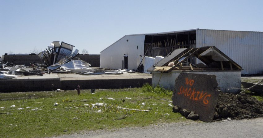
Trees also crashing onto campers and trailer houses. Unknown if people were inside #Idalia #FLwx @accuweather pic.twitter.com/tsSMjkKtT1
— Aaron Rigsby (@AaronRigsbyOSC) August 30, 2023
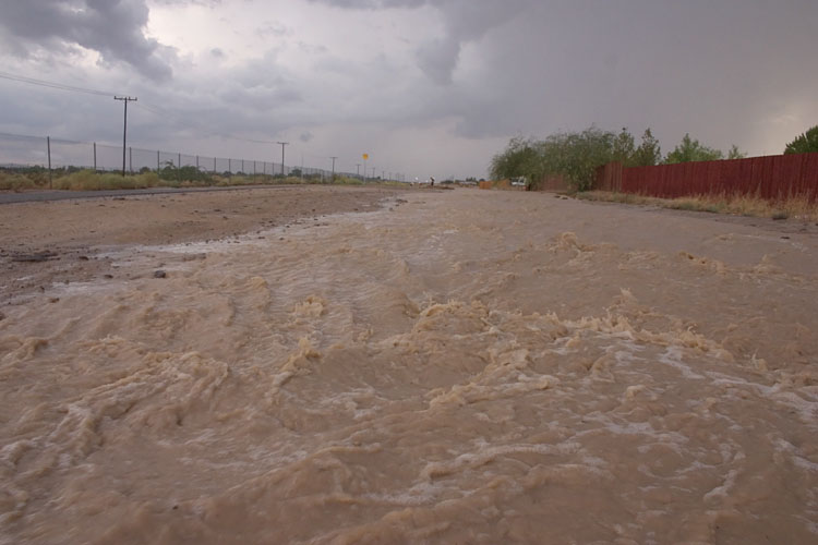
Storm surge resulted in record flooding for a lengthy stretch of the Florida Gulf Coast. The hurricane-induced surge was enhanced by a rare “blue supermoon”. This is the second full moon within the month as well as the closest approach of the moon to the earth. As a result, tides are higher than normal, exacerbating the impact of storm surge. Several tidal stations reported their highest mark ever, including Tampa Bay, more than 100 miles away from the landfall point. Winds gusting over 100 mph (160 kph) helped bring down many trees and powerlines, resulting in hundreds of thousands losing power.
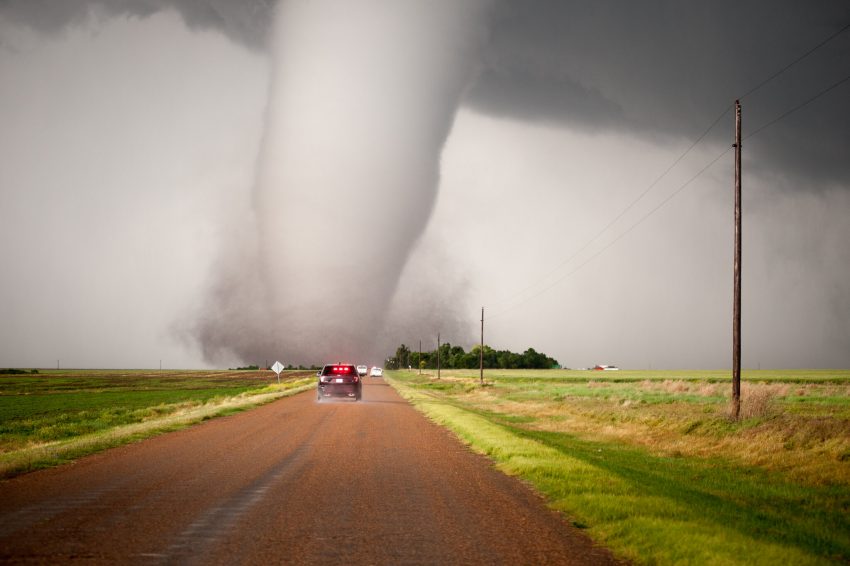
Dramatic video shows a car getting tossed into the air like a toy during a “brief, weak” tornado in Goose Creek, SC earlier today. According to local police, two people were transported to the hospital with minor injuries. #Idalia pic.twitter.com/r2Fow9TOCK
— Nahel Belgherze (@WxNB_) August 30, 2023
Significant hazards accompanied the storm long after the Florida landfall. Surge flooding affected the coast of Georgia and South Carolina. Charleston Harbor recorded its fifth-highest water level ever. Isolated tropical tornadoes also raced across portions of the South Carolina lowcountry (see video above). Widespread heavy rainfall of 4-8 inches have led to deadly flash flooding and will eventually raise streams and rivers above flood stage in the coming days.