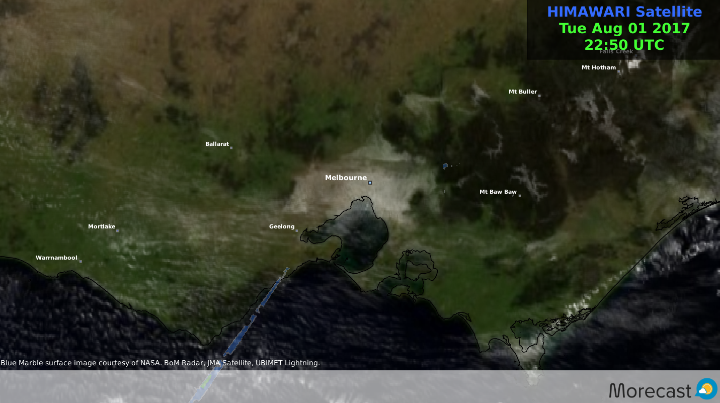
The weather looks set to take a more wintry theme later in the week and especially over the weekend with snowtacular conditions expected across the Alpine ranges of Victoria, resulting in sizeable accumulations across the highest peaks.
So its time to dust off the skis again and hit the slopes or just get out and experience the thrill of a winter wonderland!
Check out these snow spots to visit which are within an easy reach of Melbourne.
The Macedon region of Victoria, image courtesy of Annie Leong
Located about a one hour drive north west of Melbourne at a height 1001 metres is considered the closest area to the city in which one can experience the joy of a light wintry dusting of snow when conditions are right.
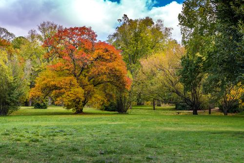
Famed for it’s collection of 19th century gardens and local wineries this elevated region captures the seasonal climate shifts in the stunning colours of the autumnal foliage across this forested region. Regardless of the time of year this region is always worth a visit.
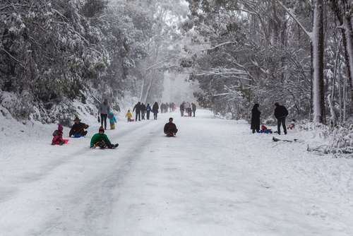
Tobogganing on Mount Donna Buang in the Yarra ranges, image courtesy of Greg Brave
Located close to Warburton a leisurely 1.5 hour trip north east of Melbourne on the Yarra ranges at a height of 1250 metres. Though not a ski resort it is still a great place to enjoy the thrills and spills of winter snow, and embrace atmosphere it brings to both adults and children alike.
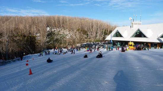
Lake Mountain Alpine Resort, image courtesy of TripAdvisor
Located close to Marysville about 2 hours north east of Melbourne.
Explore the 37 kilometres of cross-country trails on skis and snow shoes, race downhill in a toboggan, or revel in an afternoon of snowball fights and snowman building. Contains a wide range of cross country trails for all ages and skill levels.
A view from one of the ski runs at Mount Baw Baw, image courtesy of TripAdvisor
courtesy of Annie Leong
Located approximately 2.5 hours east of Melbourne on the south western side of the north east ranges.It is the smallest of the three main resorts it contains 30 hectares of mainly beginner to intermediate ski runs.
A view from the top of Mount Buller, image courtesy of http://www.grollogroup.com.au
Located 3.5 hours north east of Melbourne and renowned for its downhill runs, this ski resort is a must for any winter sport enthusiast with slopes to cater for all levels of experience.
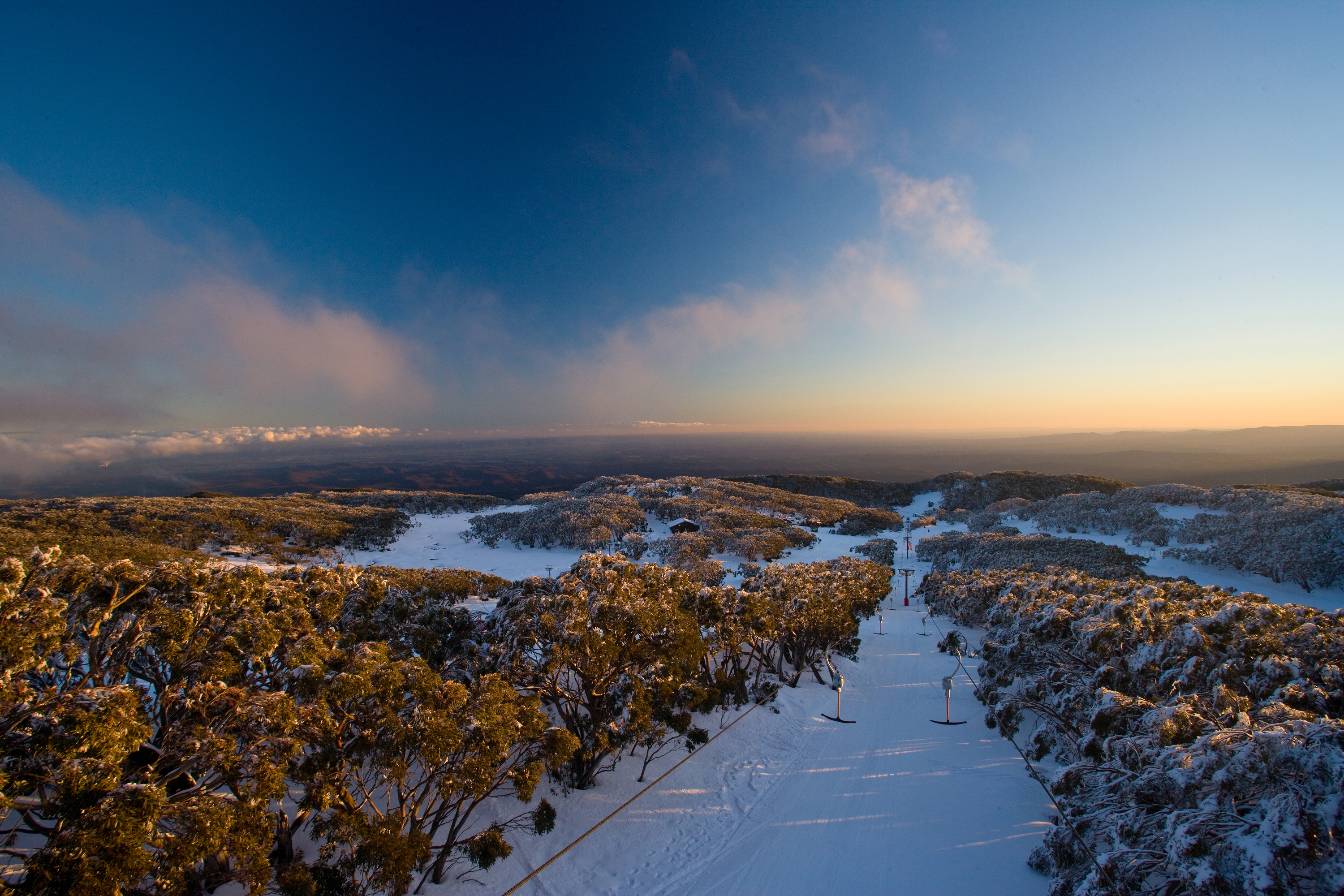
A view from Craigs hut located on MT Stirling, image courtesy of http://www.skichute4.com.au
Located 3.5 hours north east of Melbourne and in close proximity to Mount Buller Alpine resort.
At a height of 1749 metres above sea level its is popular spot for avid cross country skier and those who prefer a more uncommercialised setting.
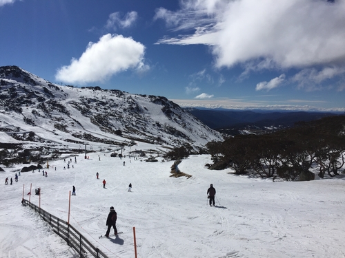
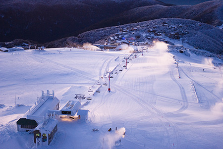
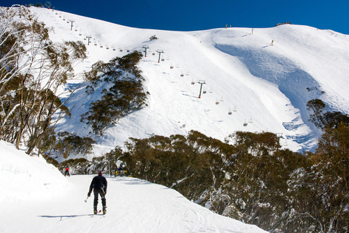
A view from one of Mount Hotham’s many ski slopes, image courtesy of FiledIMAGE
Located 5 hours north east of Melbourne this commercialised resort contains 320 hectares of ski area and caters for both the beginner and seasoned pro. For those you are brave enough why not try “the steep Mary’s slide” considered to be one of Australia’s most difficult runs. It is also home to Australia’s only biathlon range.
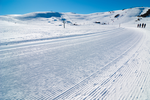
A view from one of Falls Creek’s cross country ski runs, image courtesy of Ashley Whitworth
Located 4.5 hours north east of Melbourne and claims the prestigious allocate of having Victoria’s largest skiable terrain at 450 hectares.
On an average year the mountain can expect around 4 metres of snow, so given the fickle Australian snow season this particular area can be considered a safe bet during the winter months.
Height above sea level
No of lifts
No of runs
Open
1765 metres
14
92
June – Sept
Stay one step ahead of the weather with Morecast. Daily and hourly forecasts to any location Australia wide. Check out our Facebook and Twitter as well as Morecast.com for the all latest.
If you are heading to the snow why not check out the weather conditions along the way with the Plan your route feature.
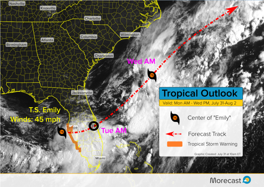
Tropical Storm Emily is making landfall late this Monday morning on the south side of Tampa Bay. Gusty winds, heavy rains, and isolated tornadoes will threaten the southern half of the Florida peninsula through tonight.
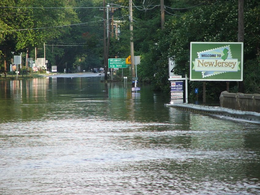
An unusually strong system will move slowly across the Mid-Atlantic late this week through the weekend. Persistent moist flow from the Atlantic will lead to prolonged moderate to heavy rainfall. Especially in favorable terrain and poorly drained urban areas, dangerous flooding will occur.