Coral Sea Tropical Basin Could Heat Up Next Week
Almost a month has passed since the last cyclone threatened the Australian coast. However, we’re in the heart of the cyclone season, and coastal residents should keep a sharp lookout. There are indications that some cyclone activity could develop next week in the Coral Sea and/or the Gulf of Carpentaria.
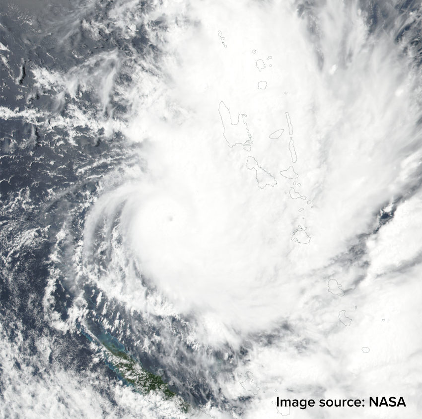
Currently Cyclone Hola is the main tropical story in the region. Hola is a Category Three storm moving mainly between the islands of New Caledonia and Vanuatu (see satellite image above). Hola will move south and encounter cooler waters, eventually turning extratropical by early next week. It’ll still be a powerful system, though, and northern New Zealand will likely see heavy impacts, including flooding rainfall, dangerous surf, and damaging winds. That will make three remnant but powerful cyclones to strike New Zealand in the last few weeks.
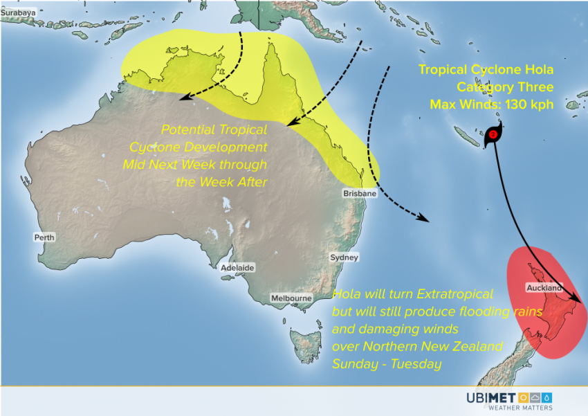
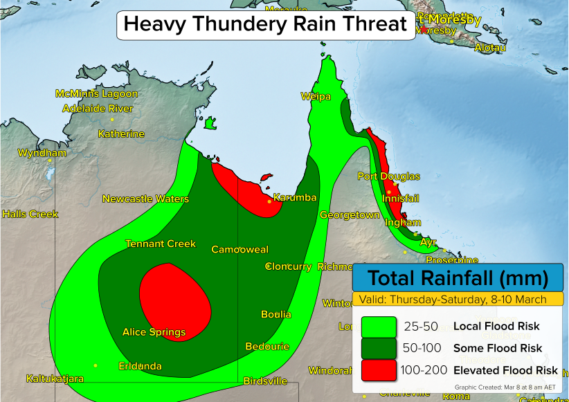
Model guidance suggests the next tropical lows could develop in the warm water north of Australia, perhaps in the Coral Sea or the Gulf of Carpentaria. If they were to develop, these systems could threaten portions of North Australia or Queensland from the middle of next week through the weekend and even into the week after. However, it’s much too early to make a definitive statement about potential intensities or landfall points. We’ll keep watching closely!

