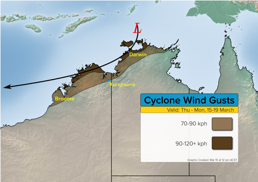
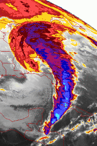
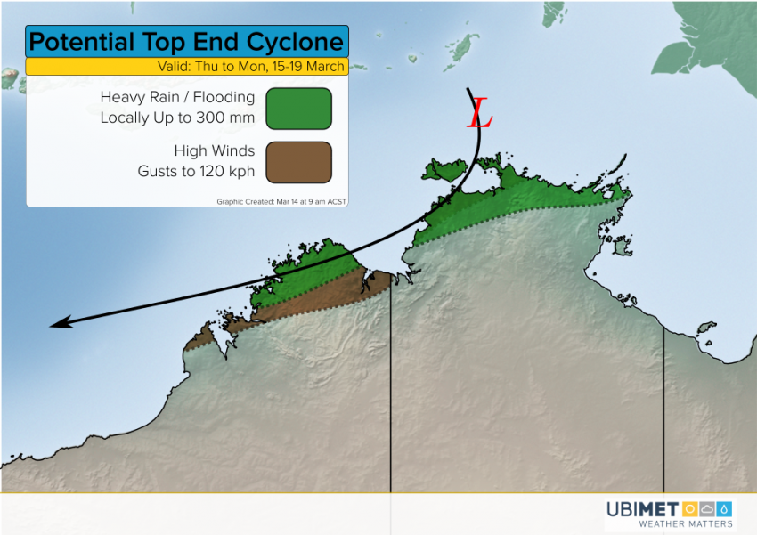
Potential Cyclone Development Today or Tonight Just North of Darwin!
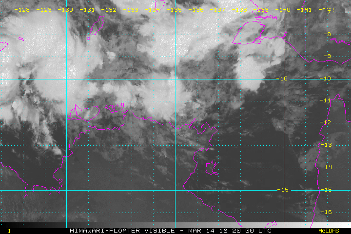
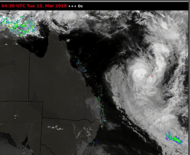
Model guidance and satellite imagery continues to point to the potential for a tropical cyclone to develop later today or tonight just north of Darwin, NT. Proximity to land will likely prevent this cyclone from gaining strength very quickly. Models suggest this potential cyclone will move south towards Darwin before turning west-southwest. Northern portions of Western Australia would be targeted late Saturday through Monday.
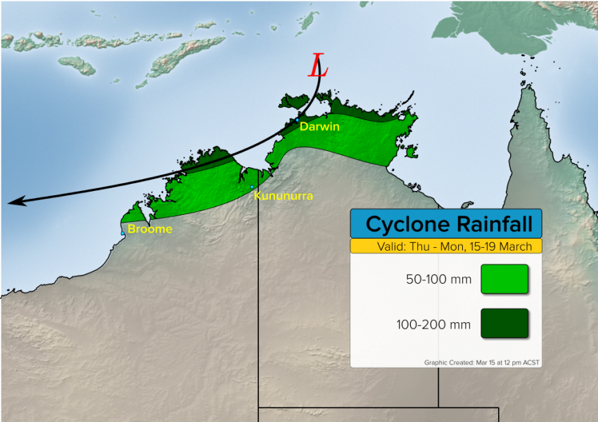
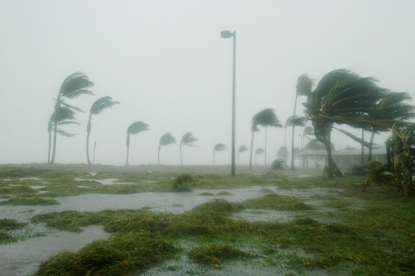
The cyclone, which would be called Marcus, will produce damaging wind gusts up to 120 kph or higher along the extreme northern coasts of NT and WA, including Darwin. Rainfall up to 200 mm in much the same area will lead to significant flash flooding. We’ll keep monitoring and issue forecast updates as needed!