Severe Flooding Paralyzes Parts of New York City!
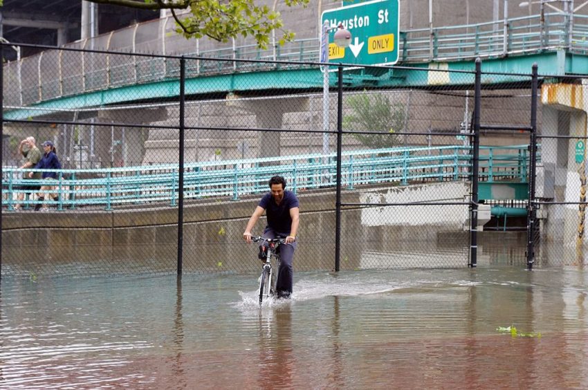
A stationary band of heavy rain has been dumping torrential rates over New York City since early this morning. Rainfall of 4-8 inches (100-200 mm) has fallen as of early Friday afternoon, overwhelming urban drainage systems and resulting in widespread flooding. The city’s transit systems have been shut down with several feet of water over roadways leading to stalled cars and buses. Subway tracks and stations are also underwater. Air travelers are also facing delays and disruptions due to water in the terminals at La Guardia Airport. A state of emergency has been declared by the governor of New York.
New York City emergency officials have issued a travel advisory as heavy rain and flooding hits https://t.co/E30q97yK2O pic.twitter.com/xw1EgGvXmM
— philip lewis (@Phil_Lewis_) September 29, 2023
INSANE: This video was taken inside an @MTA bus on 18th Avenue and 60 Street in Brooklyn pic.twitter.com/h3dpsOy2hG
— NYScanner (@nyscanner) September 29, 2023
UNDER WATER: Brooklyn Queens Expressway pic.twitter.com/zXUDUoVXK5
— NYScanner (@nyscanner) September 29, 2023
Grim!! Brooklyn in NYC….🌊🤢pic.twitter.com/gOaXaS5V0b
— Volcaholic 🌋 (@volcaholic1) September 29, 2023
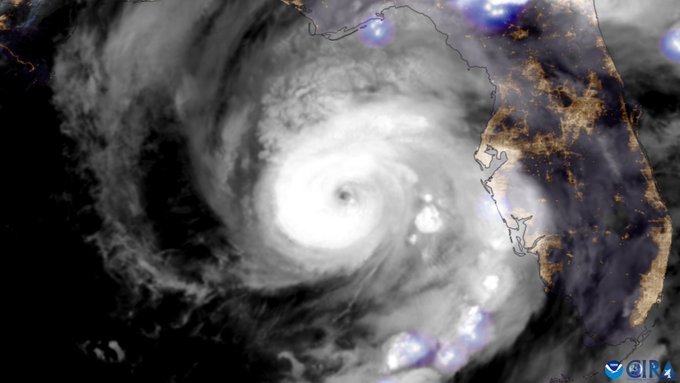
A slow moving low originating in the tropics has been drifting off the US East Coast. An upper low moving in from the west has pulled this tropical moisture up into the NYC metro area today. The density of population and the prevalence of paved ground surfaces mean the city is particularly vulnerable to flash flooding. Serious flood reports have been coming in from four of the five boroughs (Staten Island excepted). Poor drainage areas have been overwhelmed on the major highways such as the Brooklyn-Queens Expressway (BQE), leading to high water and stalled vehicles. In many areas excess runoff from roads has no where to drain except into the subway system. Many thousands of NYC residents also live in basement apartments, a dire situation that lead to fatalities during the city’s last major flooding episode in 2021.