Kaum sind die Aufräumarbeiten von Hurrikan Harvey in Texas beendet, richten sich die Blicke bereits auf den Atlantik, wo sich ein neuer Hurrikan mit dem Namen Irma befindet. Er könnte im Laufe der nächsten Woche die Karibischen Inseln treffen und eventuell auch noch dem Südosten der USA gefährlich nahe kommen.
Weather replay of a week in the life of the Australian climate
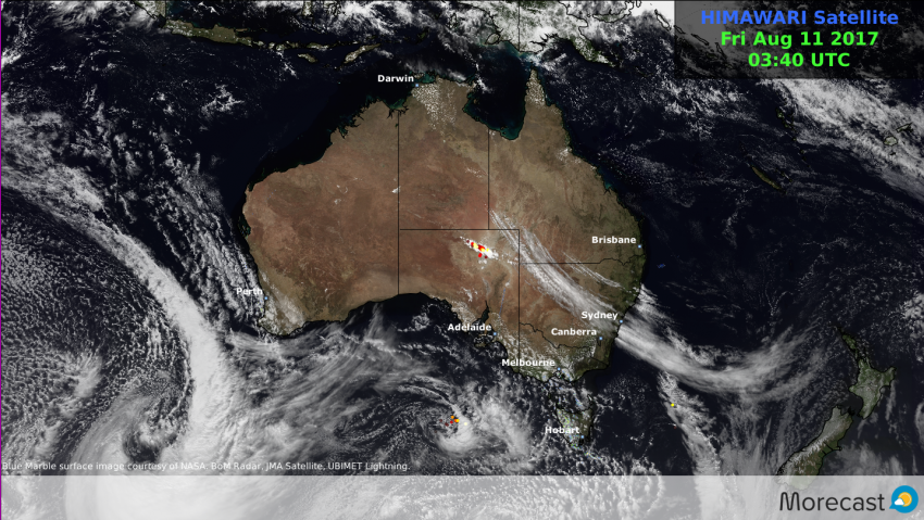
The past seven days saw Winter maintain it’s tempestuous grip across the southern Australian states of Western Australia, South Australia, Victoria and Tasmania.
A succession of powerful weather systems brought regular periods of wild weather across much of the region along with epic snowfall totals across the Snowy mountains and Alpine ranges.
Snowtacular conditions affected the Victorian and New South Wales ski resorts.
Stay one step ahead of the weather with Morecast. Daily and hourly forecasts to any location Australia wide. Check out our Facebook and Twitter as well as Morecast.com for the all latest.
If you are out and about over the coming days why not check out the weather conditions along the way with the Plan your route feature.
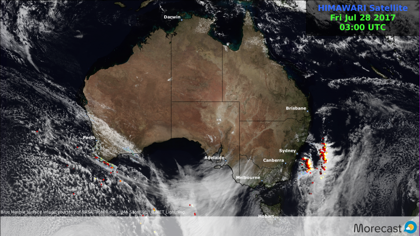
The past seven days saw the Winter regime return with vengeance across the southern Australian states of Western Australia, South Australia, Victoria and Tasmania.
A succession of powerful weather systems brought regular periods of wild weather across much of the region.
Locations affected
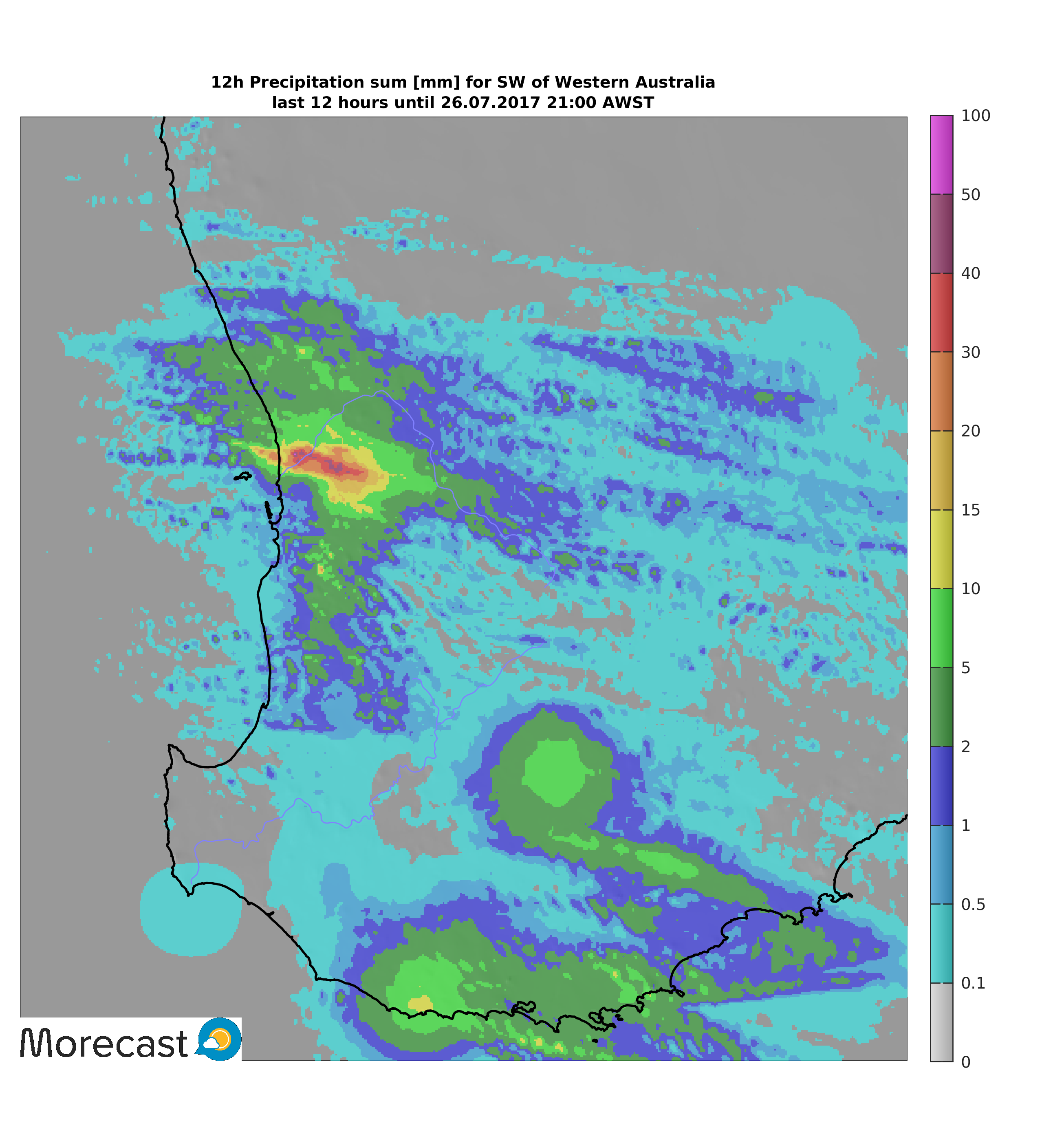
Perth recorded it’s heaviest rain in one month with 20 -30mm recorded in just 3 hour period on Wednesday afternoon.
12hr Rainfall analysis for SW WA pertaining to Wed 26th
Stay one step ahead of the weather with Morecast. Daily and hourly forecasts to any location Australia wide. Check out our Facebook and Twitter as well as Morecast.com for the all latest.
If you are out and about over the coming days why not check out the weather conditions along the way with the Plan your route feature.