Typhoon Hagibis Targets Japan!

As Typhoon Hagibis is heading towards Japan, the island nation is bracing for it’s impact. The storm is currently churning offshore, packing winds of 162kph, and is expected to make landfall late on Saturday night. Hagibis is very dangerous not just because of it’s strength, but it’s sheer size. It’s wind field spans 1400km, which is nearly half the length of Japan.

Before coming down to it’s current pressure of 943hPa, Hagibis went from 992hPa to 915hPa within 24 hours, making it the ninth most rapidly intensifying storm in recorded history, and one of the most intense tropical cyclones of 2019. Forecasts are calling for Hagibis to have a central pressure of 950hPa as it makes landfall near Tokyo. If this occurs, it would be the strongest storm to ever hit that region.

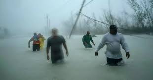
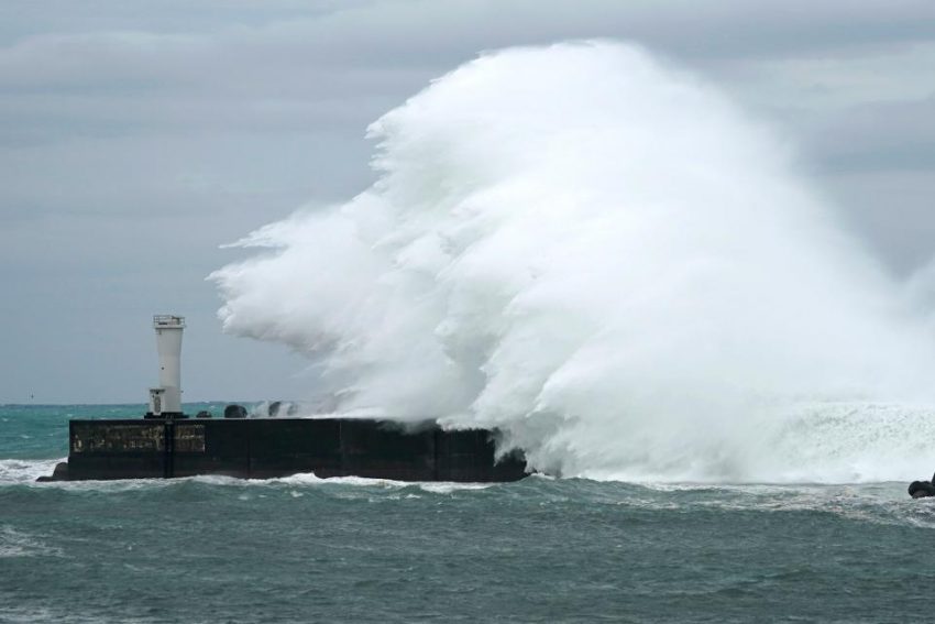
Hagibis has potential to break records as it is expected to bring wind gusts of up to 216kph, 300-500mm of rain, with some spots seeing up to 800mm, and devastating storm surge, with water levels possibly reaching as high as 13m. If those effects weren’t bad enough, the storm will make landfall during a full moon phase, which will lead to higher than normal tides, and only exacerbate the coastal flooding.

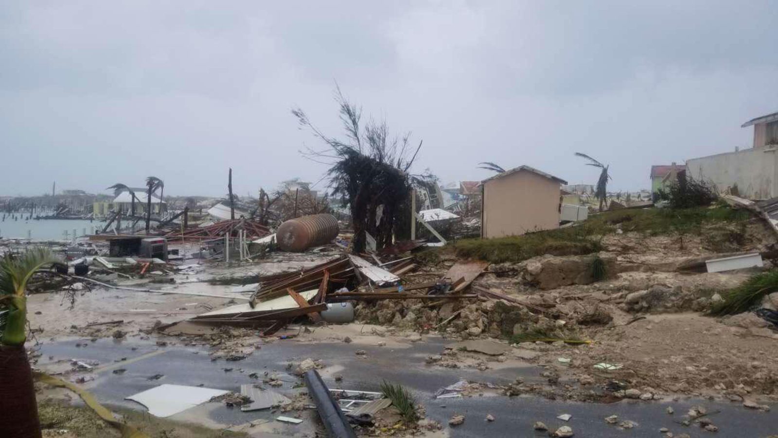
Although Japan is no stranger to typhoons, with 11 typhoons approaching, and two directly hitting the country on average every year, Hagibis is coming on the heels of Typhoon Faxai, which struck the region last month. That storm brought record breaking gusts of 207kph, several people were killed, and hundreds of thousands of homes were damaged or destroyed. Many residents remain in shelters, while numerous homes still have plastic tarps in place as makeshift roofs.


In preparation of the storm, flights have been canceled, trains halted, and both the Rugby World Cup and Japanese Grand Prix, have postponed games until Sunday. Supermarket shelves have been completely wiped out as shoppers stock up on supplies to get them through the storm.

Deadly Dorian Crawls Towards US!

After ravaging the northern Bahamas for the last few days, Hurricane Dorian has finally started to turn northward, with its eye set on the southeast coast of the US. The storm, which is responsible for at least 7 deaths so far, is departing the Bahamas after spending the last two days pummeling the area with punishing winds, torrential rains, and a ferocious storm surge. Dorian became the strongest hurricane to ever hit The Bahamas, as it made it’s first landfall on Sunday with sustained winds of 185mph(298kph), on the Abaco Islands. With a central pressure of 910mb before it’s first landfall, Dorian had the lowest pressure ever recorded in the Atlantic east of Florida and north of the Caribbean. Within just nine hours on Sunday, it’s peak winds increased from 150mph(241kph) to 185mph(298kph) making it the fastest intensifying hurricane of this magnitude ever seen in the Atlantic Basin.

Aside from breaking records, Dorian has delivered a devastating blow to the Abaco Islands and Grand Bahama Island. After several landfalls, and two days of basically stalling over the area, these islands have been completely inundated by the storm. Homes have been leveled, trees stripped of their leaves, and roads have been turned into raging rivers, as the ocean became one with the land. The islands remain without power, or running water, as many residents remained stranded, trapped in their homes, and are awaiting to be rescued. Numerous people are still unaccounted for.

Although Dorian has weakened considerably since his peak on Sunday, the storm remains a strong Category 2 storm with winds of 110mph(177kph), and is on par to make contact with the coast of the southeast US in the coming days. Despite the winds being weaker, the wind field of the storm is expanding, so even if the storm does not make a direct landfall on the coast, hurricane force winds are still likely to be felt here. Hurricane warnings are now in effect for the coastlines of Florida, South Carolina, and North Carolina, while a state of emergency remains in effect for these states as well.

Forecast models depict Dorian remaining offshore, with it’s center just skirting the coastline, as it travels northward. A landfall along the coast of one of these states still cannot be completely ruled out at this time, however. The slow moving nature of the storm has giving residents of the Southeast lots of time to prepare, as storm surge, hurricane force winds, and flooding rains are poised to start effecting the region in the next 24 hours.

Barry Briefly a Hurricane Near Landfall, Now Slowly Weakening over Inland Louisiana


Hurricane Barry made landfall near Intracoastal City in south-central Louisiana around midday Saturday. Barry has continued to struggle with dry air intruding on the northern side. However, surface and reconnaissance plan data indicate the storm may have been producing hurricane-force conditions at landfall. As the storm moves further inland, heavy rain and flash flooding will become the predominant threat!


Numerous reports of damaging winds and significant storm surge have been received from across southern Louisiana. Gusts of 40-70 mph (60-110 kph) have knocked down numerous trees and power lines, leading to thousands of power outages. A storm surge measured as high as 5-7 feet (2 m) has flooded coastal communities from the LA-MS state line to near the landfall point. Some levees protecting low-lying areas have been overtopped and damaged. Fortunately, as the center moves further inland, winds and surge flooding will continue to slowly subside, although localized flooding will still be likely around the astronomical high tide.


The heaviest rains so far have been falling to the south and east of the storm center. For much of the day, the heaviest rains were falling with a stationary band way east of the center, in Mobile, Alabama. Rainfall amounts up to 5-6 inches (125-150 mm) there lead to localized flooding. A new band of rain has set up over southeast Louisiana. This tropical moisture tap will be persistent through the next 24+ hours, eventually expanding further north into portions of Mississippi and Arkansas. Within this band, rainfall amounts of 3-6 inches (75-150 mm) will be common. Much heavier amounts of 6-12 inches (150-300 mm) or more are likely for central LA and southwest MS, where some serious flooding will occur.

FRIDAY UPDATE: Florence Onshore, High Winds and Flooding Rains Will Continue!


Florence made landfall this morning as a strong category one hurricane at Wrightsville Beach, North Carolina, on the eastern side of the city of Wilmington. Florence has been downgraded to a tropical storm as of the 5 pm advisory from the National Hurricane Center. It’s at the top end of the tropical storm threshold, though, with sustained winds still to 70 mph in some bands. Damaging winds will remain a threat from southern NC into eastern SC. Tremendously heavy rainfall and freshwater flooding will be the most serious and widespread danger going forward, however.


High winds have lead to widespread power outages over the eastern Carolinas with almost a million reported in the dark. Winds have been gusting upwards of 100 mph in spots (see table above). Although the intensity of winds will gradually diminish as the storm weakens, rain-weakened soils and the long duration of high winds will continue to lead to downed trees and powerlines. In some areas these power outages will last for weeks.

Reports indicate that 12-20 inches of rain have already fallen over portions of coastal North Carolina. The video below is taken from a house near the Pungo River early this morning with the corresponding river gauge data shown below that. The high water shown is probably a combination of the freshwater flooding of the river and storm surge from the nearby ocean. This kind of inundation will become more widespread as rivers rise in response to the copious rainfall.


Florence will continue to crawl westward overnight and through much of Saturday, reaching the Midlands of South Carolina by Saturday night. It’ll be Sunday before the remnants of Florence start to turn north through the Appalachians and pick up speed. That means many hours of persistent, torrential rainfall rates near and northeast of the center. Some areas will see storm totals of 3 feet or more! Many rivers will exceed major flood stages and set new record marks. This is a potentially deadly situation with many homes and businesses likely to be under water in the coming days!