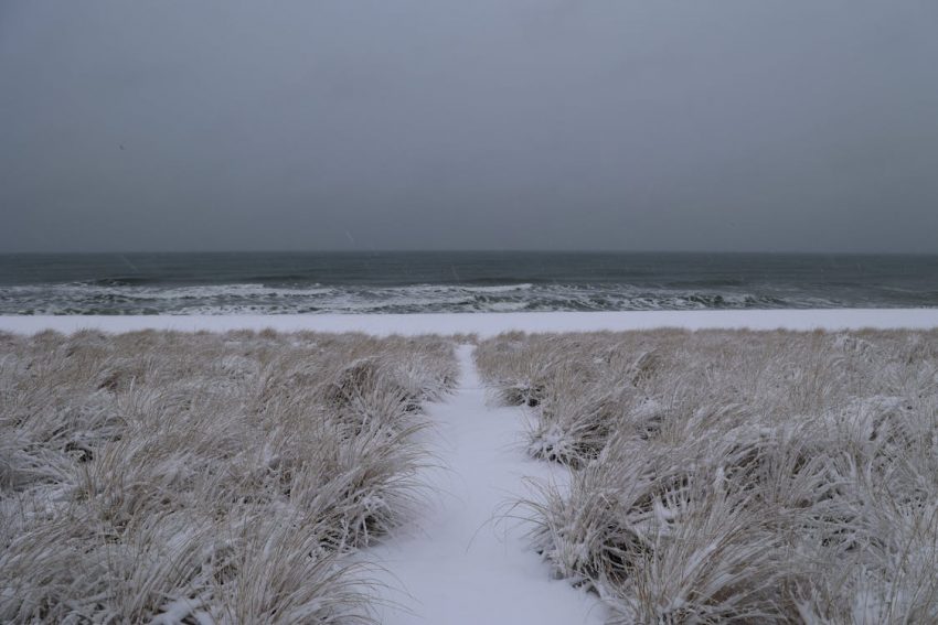
An Arctic air mass has brought record-breaking cold to much of the Central and Eastern USA. Meanwhile, an unusual surge of Gulf moisture back into the cold air yielded heavy snow across the South and Southeast. The result is unprecedent snow accumulations along with high winds. Unheard of blizzard conditions have blitzed the Gulf Coast states (see video just below).
Waist deep snow drift on the levee in Metairie! Can you believe this is in Louisiana!? pic.twitter.com/9wfFvXcKkJ
— FOX 8 New Orleans (@FOX8NOLA) January 21, 2025
Snowball fight on Bourbon Street in New Orleans! #lawx pic.twitter.com/kYPXc42o99
— Max Tsaparis (@MaxTsaparis) January 21, 2025
A light wintry mix affected much of southeast Texas starting Monday evening. Ice accumulations were reported almost to the Mexican border. However, the heavy snow really increased early Tuesday from southeast Texas into southern Louisiana. Snowfall rates exceeded 1″/hr (2.5 cm/hr) for several hours. Winds also increased with gusts up to 40 mph (65 kph) blowing the snow around and reducing visibilities even further. In response the National Weather Service issued the first ever blizzard warning for the Gulf coast. Later in the day the heavy snow band expanded into southern portions of Mississippi and Alabama and northwest Florida. As of late Tuesday evening, it is beginning to affect the eastern Carolinas.
WOW! Check out this incredible time-lapse from a Gulf Highlands, #Alabama Live Cam today as a #WinterStorm rolled in with heavy #Snow. 🤯☃️ #alwx @NWSMobile pic.twitter.com/ezj0DKBuF8
— LiveCamChaser (@LiveCamChaser) January 22, 2025
Kids were loving the snow day in Gulf Shores, Alabama today!#gulfshores#gulfshoresalabama#GulfofAmerica #beachlife#gulfcoast#WinterStorm pic.twitter.com/SVXAS2tHO9
— Jered Guy (@JeredGuy) January 22, 2025
Snowfall records have been shattered throughout these regions. Lafayette, Louisiana saw 10.5″ (27 cm) after reporting thundersnow at one point Tuesday morning. New Orleans reported 8″ (20 cm), more than double the previous daily record of 3.5″ (9 cm), with unofficial reports nearby of up to a foot (30 cm). Snowfall totaled 7.5″ (19 cm) at Mobile, Alabama, with drifts up to 16 inches (40 cm). Florida more than doubled their previous state record for snowfall with 8.8″ (22 cm) at Milton. The local infrastructure was never designed to handle snowfall of this magnitude in this region. Travel has been strongly discouraged if not outright prohibited, and many communities are without power tonight.
