A strong winter storm is raking the west coast of the U.S. with historic cold and wind. Snow has been over lower elevations totally unaccustomed to seeing flakes fly, including Las Vegas and parts of the Los Angeles Basin. At the lower elevations, torrential rain is producing devastating flooding and landslides. Gusty winds are combining with rain-loosened soils to fell powerlines and trees, leaving nearly a million residents in the dark.
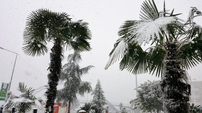
Wow, what a rare and magical view! Snow is accumulating right up to the Pacific Ocean along the Oregon coast! pic.twitter.com/ICFxiqOoLx
— WeatherNation (@WeatherNation) February 24, 2023
Things are not looking good with unprepared snow storm in Portland, Oregon. Traffic jam and snow blockade on I-405 @MikeKATU #Portland #Snow #PortlandNews #pdxtraffic #pdxweather #pdx pic.twitter.com/tyt9qjgqEU
— FutureHistoryofSpace (@SpaceHistoryNow) February 23, 2023
The storm first affected portions of Washington and Oregon. As temperatures plummeted, heavy rain changed to snow even as low in elevation as the Oregon coast (see video above). Nearly eleven inches (28 cm) of snow accumulated Thursday in the city of Portland, the second-snowiest day on record. The surprise snowstorm stranded thousands of motorists, some of them stuck for up to 13 hours trying to get home. This was followed by record cold temperatures early Friday morning.
This isn’t the LA river, it’s the 5 freeway through Burbank/Sun Valley right now.
Cars floating about. Water spilling over the median wall.
Don’t drive unless you have no choice.#SoCalStorm pic.twitter.com/jG5HPazrBC— Christian Lanz🎙 (@ChristianLanz) February 24, 2023
A band of rich tropical moisture is shifting south tonight with the storm into Southern California. Up to seven inches (178 mm) of rain has already fallen in the L.A. Basin, leading to flash flooding and swelling rivers (see above). As the powerful cold low approaches, snow levels will be falling. The highest peaks above 4,000 feet (1,219 m) will see several feet of accumulation through this weekend. Elevations as low as 1,000 feet will see significant accumulations of wet, heavy snow, putting pressure on trees and powerlines. Winds will also be gusting as 75 mph (120 kph), leading to dangerous whiteout conditions. This has prompted the National Weather Service office in Los Angeles to issue its first blizzard warning since 1989, while the San Diego office issued its first ever. These dangerous conditions will shut down major travel arteries across the region, including Interstates 5 and 81.