A historic cold snap is settling across much of the Central and Eastern U.S. just in time for holiday travel. Bitterly cold temperatures below zero have pushed well south to the Gulf Coast states. Wind chills are much colder as gusts exceed 50 mph (80 kph) in spots. The high winds and freezing temps are putting enormous pressure on power grids in the South unaccustomed to the conditions. As a result, millions are without power just a few days before Christmas.
Video from the Wyoming Highway Patrol, near Cheyenne. Incredible scene. #wywx #blizzard pic.twitter.com/lrqpM2Lh2c
— Scott McClellan (@ChaseTheWX) December 22, 2022
ZERO visibility in this snow band. Textbook blizzard conditions right now over the eastern suburbs of Buffalo. #NYwx @weather_buffalo pic.twitter.com/WYZqgmyNq7
— BuffaloSnowKing (@BuffaloSnowKing) December 23, 2022
At the leading edge of the Arctic air mass is a squall of heavy snow. For most areas this squall is short-lived with only an inch or two (5 cm) of wind-blown accumulation. However, some areas closer to the Great Lakes are seeing a prolonged heavy snow event with snowfall exceeding a foot (30 cm). The combination of snow and high winds is yielding blizzard conditions with near-zero visibilities and drifts of several feet. Travel conditions are virtually impossible in these regions.
160° difference in how it *feels* today across the country. Elk Park, Montana, had a wind chill of -74° F this morning, while Miami was in the 80s this afternoon. 🥶🥵 @WINKNews pic.twitter.com/puxGcX3dUw
— Matt Devitt (@MattDevittWINK) December 22, 2022
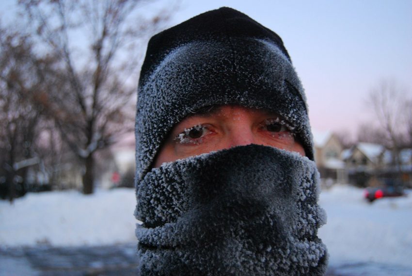
Behind the front, temperatures have been plummeting as much as 30 deg in 20 minutes. At 4 pm on Wednesday afternoon, just ahead of the Arctic front, the temperature in Denver, Colorado was 46 deg F (8 deg C). By 6 pm it had dropped to -1 deg F (-18 deg C) on the way to an overnight low of minus 24 deg F (-31 deg C). Thursday was the second-coldest day ever recorded in Denver with a high of only minus 6 deg F (-21 deg C). Other areas of the High Plains have seen even colder wind chills as low as minus 74 deg F (-59 deg C). Wind chill warnings and advisories are in effect as far south as south Texas and central Florida. Wind chills this cold can cause frostbite on exposed skin within a few minutes. Lead photo courtesy Flickr user LongitudeLatitude.