A rapidly intensifying coastal low brought damaging winds, punishing waves, and crippling snows to portions of the Mid-Atlantic and Northeast. The storm shut down some of the busiest airports in the world while road travel ground to a halt. The weight of snow and high winds brought down numerous powerlines and tree branches. Though the snow has ended and winds are easing, power outages may linger for days.
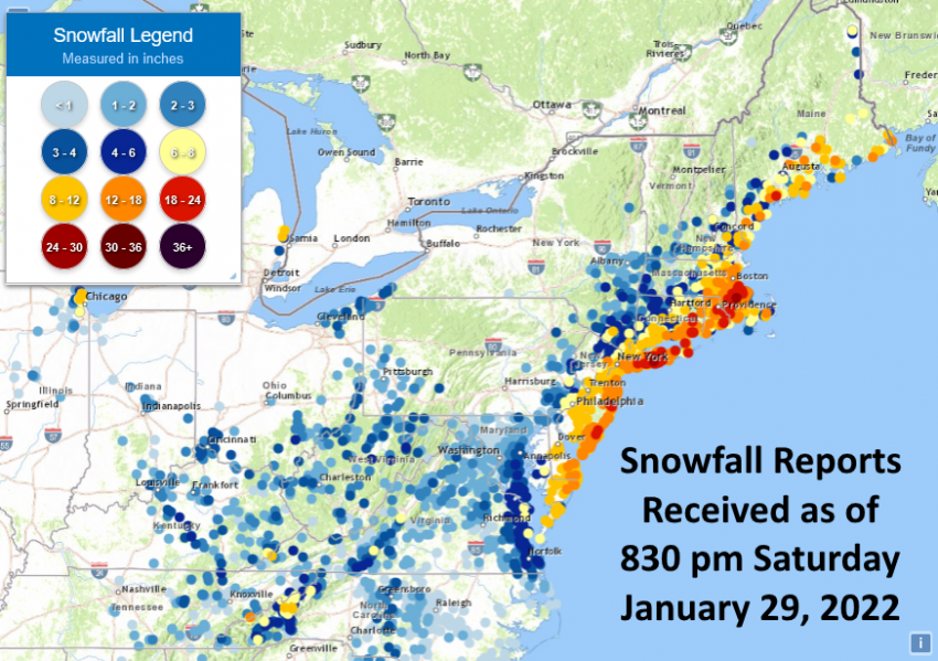
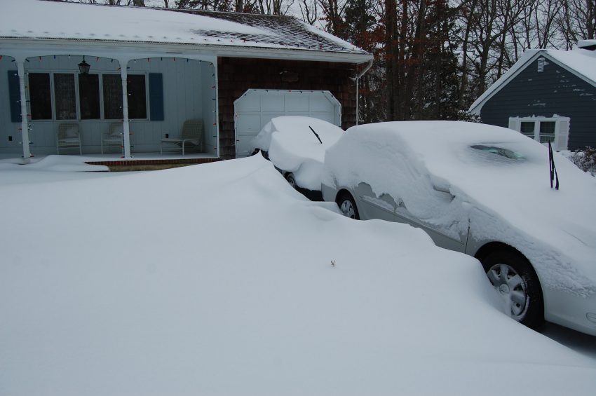
The Nor’easter exploded overnight as it passed off the Southeast coast and took energy from the warm Gulf Stream. Heavy snow broke out first along the Jersey shore on Friday evening before spreading into New England overnight. The heaviest snows fell in a stationary band over eastern Long Island and southern New England on Saturday morning and early afternoon. Within this band, snow fell at rates up to four inches per hour (10 cm/hr) and winds gusted 45-60 mph (70-100 kph), leading to near zero visibilities and drifts of several feet. Snowfall totals up to two feet were common within this band with some isolated reports of 30 inches (75 cm). The city of Boston saw 20-24 inch (50-60 cm) totals, including 23.6″ at Logan International Airport, tying the record for snowfall in a calendar day. New York City received 10-12 inches (25-30 cm) and Philadelphia saw around six inches (15 cm).
#Blizzard conditions here in Plymouth as heavy snow and gusts so far of 55 MPH have led to near white-out conditions. And it’s going to continue until later this afternoon. Live coverage continues on @weatherchannel #snowstorm #Kenan #BombCyclone #blizzard2022 pic.twitter.com/AsIs5C9sbu
— Mike Seidel (@mikeseidel) January 29, 2022
Nor’Easter is getting intense. #noreaster #snowstorm #Blizzard #MAwx #scituate pic.twitter.com/wlr01bNzeS
— WxChasing- Brandon Clement (@bclemms) January 29, 2022
Strong winds gusted out of the north and northeast upwards of 70 mph (110 kph) along coastal New England. Along shorelines facing north, the winds pushed water up and over dunes and onto roadways. The high winds combined with temperatures in the teens to yield below-zero wind chills, contributing to the dangerous conditions.