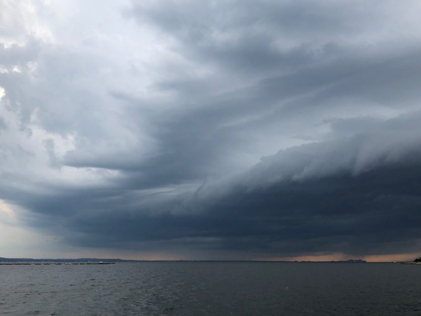
Tropical Storm Marco is currently entering the southern Gulf of Mexico through the Yucatan Channel. Meanwhile, Tropical Storm Laura is pouring torrential rain across Puerto Rico with Hispaniola and Cuba next on the docket. Interactions with dry air and land masses could restrict how much intensification either system will achieve. However, there is very warm water ahead. The potential exists for not one but two hurricanes to impact the central Gulf Coast in the early to middle of the upcoming week.
Louisiana has had multiple #hurricane landfalls in the same calendar year 4 times on record (since 1851):
1860 (3)
1893 (2)
1985 (2)
2005 (3)Shortest time between LA hurricane landfalls is ~17 days between Hurricane 4 and Hurricane 6 in 1860. #Laura #Marco pic.twitter.com/AjD6Mck7bz
— Philip Klotzbach (@philklotzbach) August 23, 2020
There were major shifts in model guidance with regards to Marco today. Last night it appeared Marco would turn west towards coastal Texas. However, the consensus now is for a north-northwesterly track towards Louisiana. Landfall will occur on Monday, likely in the afternoon or evening. Marco has struggled to maintain persistent, strong storm activity around its core, a necessary prelude to intensification. However, favorably warm water and moderate shear lie ahead over the open Gulf of Mexico. Models suggest Marco will strengthen to minimal hurricane status before landfall and hurricane watches have already been issued.
RT wxbrad: 2 Hurricanes 48 hours apart making landfall in SELA. ECMWF model here for #Marco then #Laura pic.twitter.com/flce9cRnqv
— Now Media News (@NowMediaScott) August 23, 2020
Tropical Storm Laura is about to hit the Dominican Republic. Interaction with the rugged terrain of Hispaniola and then Cuba in the next few days should disrupt Laura’s circulation and prevent significant intensification. However, Laura will encounter the same favorable conditions over the open Gulf as Marco by early next week. Strengthening is likely and Laura may be a minimal hurricane as it approaches a coastal Louisiana landfall on Wednesday.
Here’s the Sat afternoon peak storm surge graphic from @NHC_Surge due to #Marco. Water could reach the following heights above ground somewhere in the indicated areas. For a full description of this experimental product, see: https://t.co/Q8tGzmSDQQ pic.twitter.com/rr3LOFtZSr
— National Hurricane Center (@NHC_Atlantic) August 22, 2020
Dangerous high winds, storm surge, and flooding rainfall can be expected on Monday and early Tuesday, then again on Wednesday to early Thursday. The dangers posed by Laura would be compounded by infrastructure weakened by Marco’s hazards a few days earlier. Emergency services will be severely strained with not enough recovery time between the storms. Even if the storms are only Category One level, two hurricanes making landfall in the same area within 72 hours of each other would be unprecedented in the U.S. meteorological record. A shift of track for either storm would obviously bring some relief to the target zone, but also bring a wider area of the Gulf Coast into imminent danger. Lead photo courtesy flickr user Mary Madigan.