A pair of tropical cyclone threats have developed across the northern coast of Australia. One cyclone has already formed just north of Western Australia, called Riley. This storm’s outermost rainbands will produce some spotty heavy rain in the Kimberly and Pilbara regions of northern WA in the next several days. However, more direct and serious impacts could be coming from a cyclone not yet named in the Gulf of Carpentaria.
As of yet, the Gulf cyclone remains disorganized. Very heavy rains are already falling, however, over the Cape Yorke peninsula. Our weather models have yet to agree on the future track of this tropical low. Some move it southwest across the very warm Gulf waters. That track would increase the likelihood of cyclone development. However, some models move it south along the west coast of the Cape Yorke peninsula, or even over the middle of the peninsula. That would limit the opportunity for intensification.
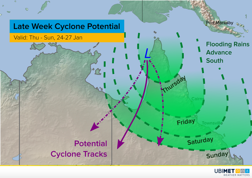
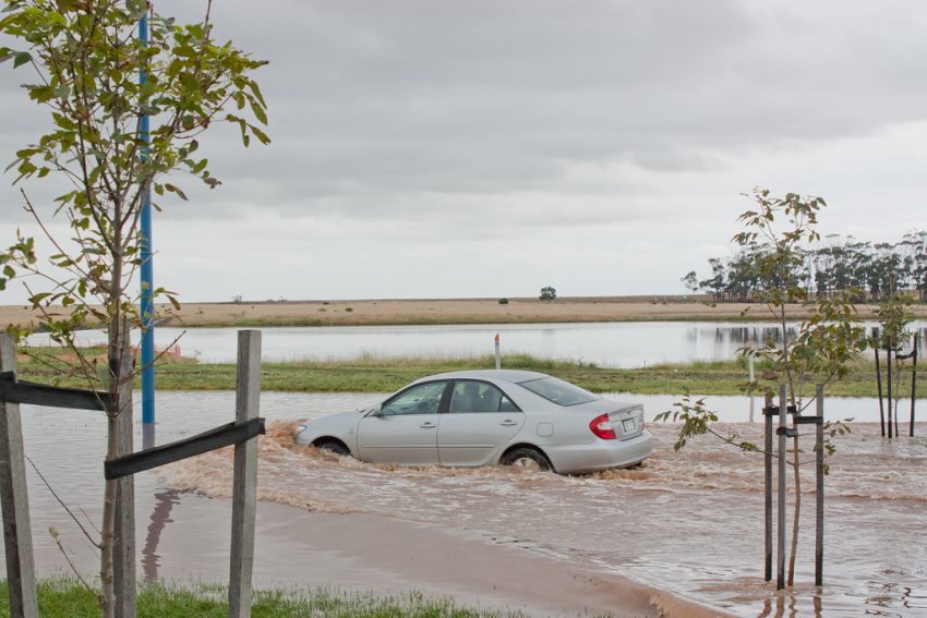
Regardless of whether the system becomes a full-fledged cyclone or not, it will transporting very rich tropical moisture over northern Queensland. The map above shows the potential cyclone tracks as well as the timing of the flooding rain potential. Some locations will see totals of 300-400 mm by this weekend! Serious flash and river flooding will be the result. Lead photo courtesy flickr user Rexness.