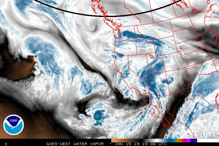
The abnormally wet pattern in the western U.S. will continue through the rest of the week. One last slug of heavy Pacific moisture will slam into California through Thursday. It will bring flooding rains to the lower elevations and dangerous blizzard conditions to the mountains.
Most of the coastal storms in the past several weeks have been affecting areas of the west coast from northern California up through Washington. The jet stream is about to shift, however, allowing this week’s storm to dip further south. Areas as far south as the L.A. Basin will see heavy precipitation with major impacts.
Lower elevations will see heavy rainfall, especially from Wednesday afternoon through Thursday morning. Rainfall amounts of 1-3 inches will be common across the region, with higher amounts of 2-5 inches likely for the coastal areas and the west to southwest-facing hills. Rainfall of this magnitude will lead to spotty flooding, life-threatening in some situations. Mudslides will lead to road closures in some areas. Gusty winds will lead to downed trees and powerlines in some areas as well, resulting in power outages.
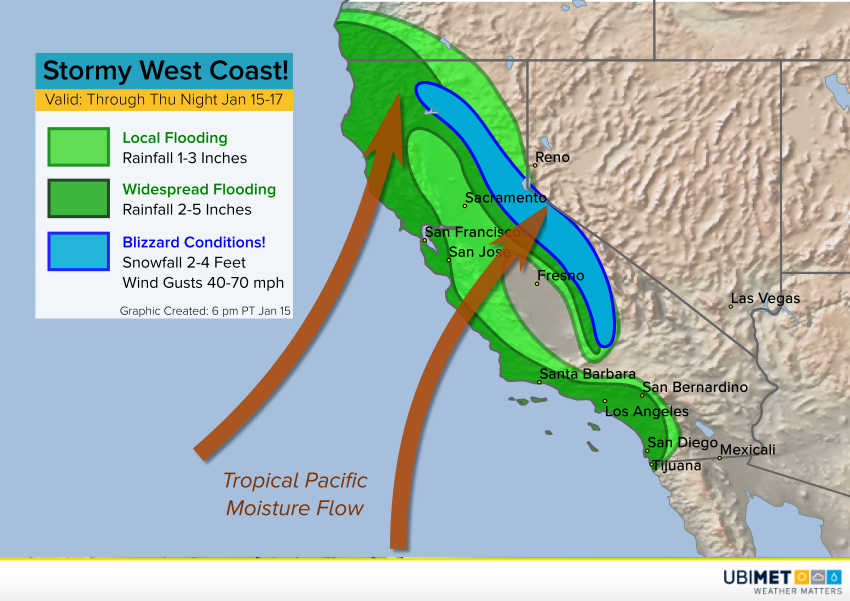
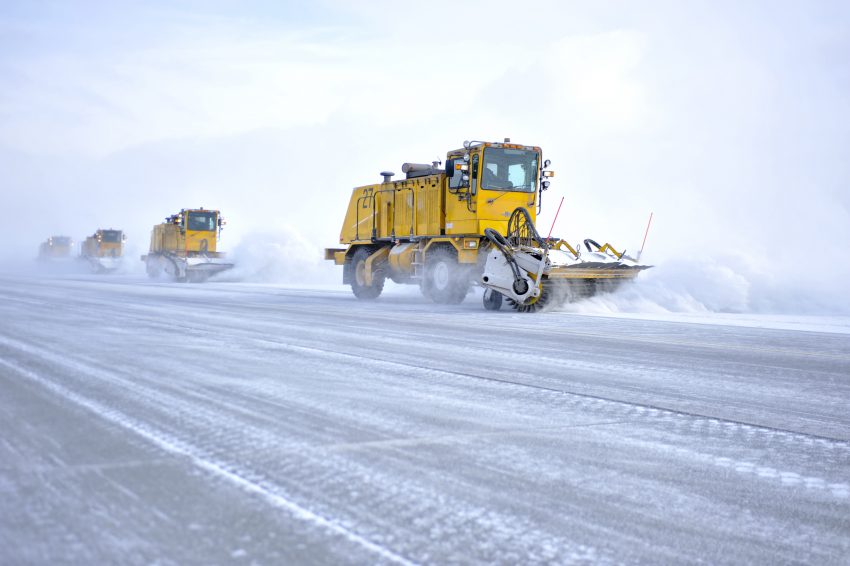
At elevations above 6,000-7,000 feet, the precipitation will fall mainly as heavy, wet snow. Crippling accumulations of 2-4 feet will tally at those elevations. The combination of heavy snow and high winds gusting to 70 mph will lead to dangerous and prolonged blizzard conditions, including near-zero visibilities and drifts of ten feet or more. Travel will become impossible for the late week period through the high mountain passes. Lead photo courtesy Airman 1st Class Jack Sanders, USAF