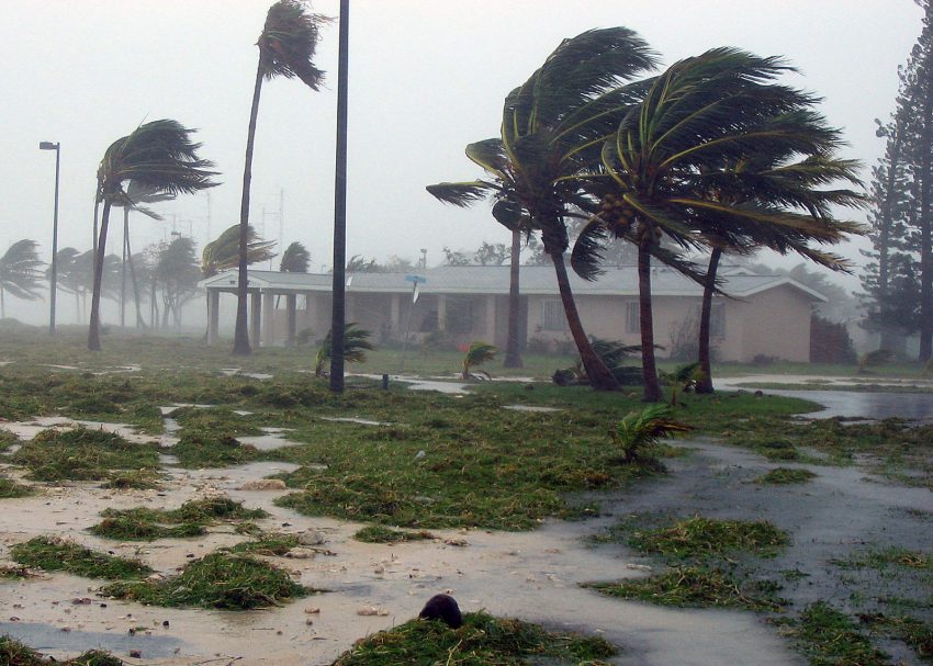
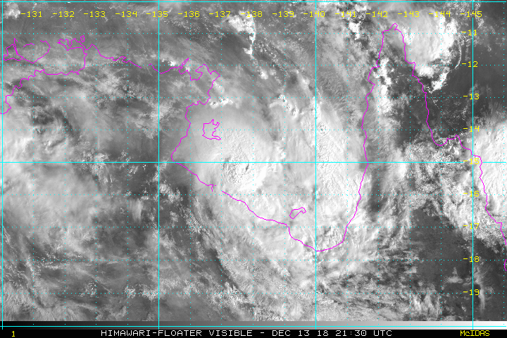
Cyclone Owen has continue to intensify today as it moves slowly east across the Gulf of Carpentaria. Very warm water temperatures and low shear are helping Owen pick up steam. The cyclone is moving more slowly than anticipated, but destructive winds and rains will eventually reach the Cape York peninsula!
Owen is currently a category three cyclone and may reach category four status later on Friday. Landfall is now expected early on Saturday morning near Pormpuraaw and Kowanyawa. Near the landfall point and just inland, destructive winds are likely gusts exceeding 150 kph. Owen will weaken as it traverses northern Queensland. However, locally damaging winds and flooding rains will accompany the system as it passes near Cairns on the east coast.
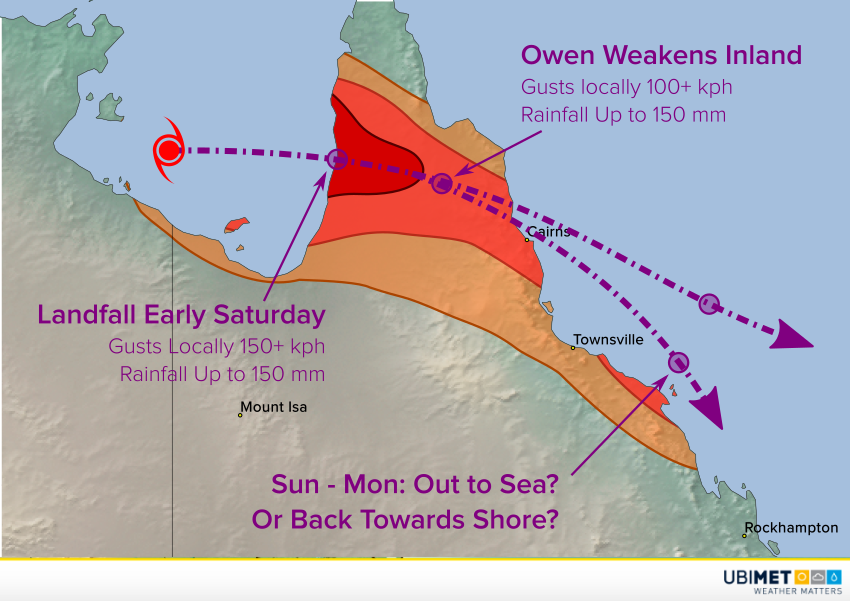
Owen’s prospects from Sunday into early next week are in question. Some of the models suggest the storm will continue to move out over the Coral Sea. However, some keep the cyclone hugging the QLD coast. Obviously a track closer to the coast would increase the risk of significant winds and rains south of Townsville towards Rockhampton. We’ll keep watching and issue updates as needed.