A cool front is sliding into the Central Plains tonight, sparking some heavy rain storms in Kansas. The front will slow down or stall completely across the Plains and linger through next week. Several disturbances will ride along the front, bringing multiple rounds of heavy rain. Localized flash flooding will occur, and river flooding could eventually become a hazard next week!
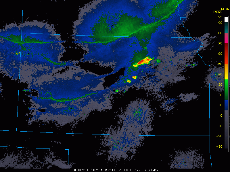
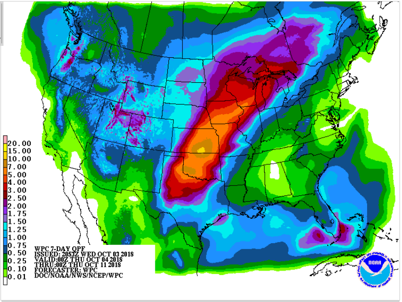
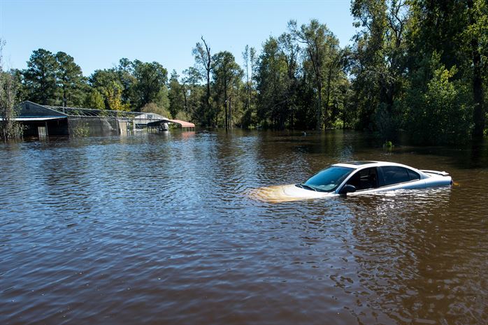
The radar animation above shows the slow-moving storms developing in Kansas tonight. These are marginally severe with some gusty winds and large hail potential. The longer-term threat, however, will be heavy rain and flooding. Areas of central and southern Kansas will see one to locally three inches of rain tonight. More rounds of heavy rain are expected Thursday night, Friday night, and then on-and-off from Saturday through early Tuesday. By the middle of next week, some areas will have tallied eight to as much as twelve inches of rainfall (see graphic below). As of now, it looks like portions of Oklahoma and Kansas are most likely to see the heaviest rainfall totals. Rainfall of this magnitude will overwhelm local drainage systems, leading to flash flooding in the near-term and rivers over their banks in the longer term. Lead photo courtesy Tech. Sgt. Jorge Intriago, US Air National Guard.
,