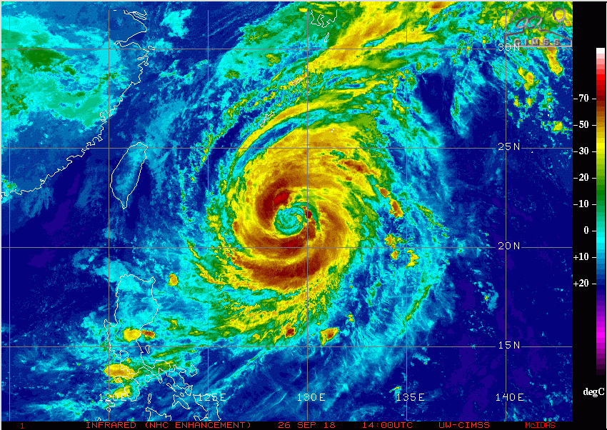
Typhoon Trami peaked at Category Five intensity on Tuesday. Since then, Trami has been moving very slowly, allowing ocean waters to cool underneath the storm. This has cut off the supply of warm ocean moisture that typically fuels cyclones. Trami has weakened back to Category Three status, though it can still boast sustained winds to 90 knots (167 kph). Models indicate the storm could intensify a bit as it picks up speed and takes aim for Japan late this weekend into early next week.
Trami is currently drifting slowly north under the influence of weak steering winds. An approaching trough will eventually pick Trami up as the cyclone enters the East China Sea late this week. A turn to the northeast looks likely which would cause the cyclone to rake many of the Japanese home islands. The interaction with the trough would mean heavy rains breaking out in the south as early as Friday, persisting through Monday. Later next week, the typhoon will transition to be a large and powerful extratropical cyclone over the northwest Pacific.
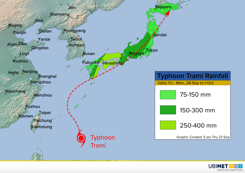
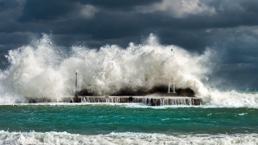
While forward motion is so slow, conditions will not be favorable for strengthening. However, there will be a window of opportunity for some strengthening as the cyclone starts to accelerate. Trami will be a threat to produce damaging winds and a minor to moderate storm surge, especially in southern Japan. However, the more widespread threat will be flooding rainfall. Most of Japan will see amounts of at least 75-150 mm. Locations in the central and south will see totals commonly 150-300 mm, with some spots seeing totals of 400-450 mm! Serious flash flooding is likely.