
Typhoon Soulik was nearly stationary over the western Pacific on Saturday, but has now turned slowly northwest. This dangerous cyclone will pass near the Japanese island of Kyushu before slamming South Korea by the middle of next week!
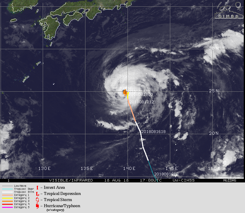
Soulik is a compact but powerful typhoon producing sustained winds of up to 200 kph. Steering currents support a west-northwestward track over the next few days, followed by a turn to the north by the middle of next week. A landfall over southern Japan is not out of the question. However, the latest guidance supports a track a bit further to the west, just missing Kyushu. That would put South Korea in the crosshairs.
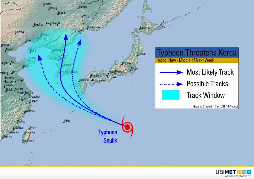
The environment ahead of the storm in the next few days is broadly supportive of steady strength, if not slight intensification. As the storm moves near Japan, sea surface temperatures cool. Some weakening is likely before a Korean landfall. However, Soulik will still be a strong, potentially destructive system. Damaging winds and flooding rains are likely on Kyushu Tuesday into Wednesday, and the Korean Peninsula Wednesday and beyond.